Deep in the rural northwest corner of Maine sits a small town named Jackman. Less that 15 miles from the Canadian border, this community is home to the region’s one and only airport, a few small grocers and hardware stores, and the split from Route 201 of one of Maine’s most prominent roadways: ME Route 6.
Route 6 is Maine’s northernmost paved route that stretches from the state’s western border to its east. This gives the throughway unmatched views of the untouched North Maine Woods, and connects the several communities of the Lakes and Mountains and Highlands regions to the rest of the state. Though this contains perhaps some of the least-traveled sections of tarmac in the state, it also hits the decently large highland cities of Milo and Dover-Foxcroft, as well as the niche tourist destination of Moosehead Lake.
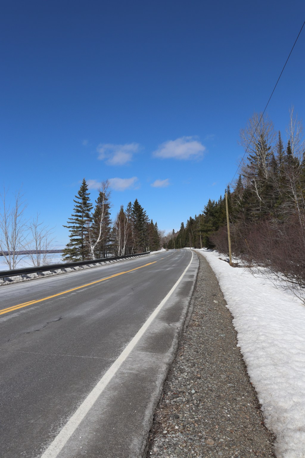
I drove this road in two sittings during early April, meaning that, here in northern Maine, snow is still all over. But this first segment of driving from Jackman to Howland occurred, by sheer luck, on the clearest day of the season so far.
This is my journey down Maine Route 6.

Jackman
Today’s drive starts in the aforementioned town of Jackman. Though Route 6 technically starts at the Canadian border, it runs in tandem with US-201 until here. Jackman is where Route 6 ‘s individual run begins.
Here, I got a good first view of the mountains of Maine’s titular “Mountains and Lakes” region. As the road moves east, the second part of this region’s namesake will become clear too.


Moosehead Region
Past the first few ridges of Route 6’s western end and the coast of Long Pond is the first big lake of the region: Brassua Lake. Here, the road gets its first major lakeside view. While the lake is still mostly frozen, small pockets of rapids poke out of the ice and add a unique texture to the surface that can only be seen in this transitional time of year.
Moving further east brings me through the small camp town of Rockwood. It feels a bit empty now in late winter, still a few months out from tourist season. But, whilst rounding the bend south overlooking the prominent Mount Kineo and my first views of Moosehead Lake, I can’t help but feel a sense of serenity in this forest ghost town.
I stopped again a little ways south of Rockwood at the border of Somerset and Piscataquis counties in the township of Moosehead. Here, at the east outlet stream of Moosehead Lake, I trekked into the snow to appreciate an old railroad bridge to the east of the road. I saw many hints of the industrial era of Maine’s historic logging industry while travelling Route 6, but this long-forgotten bridge, far from any signs of civilization, held with it a soft notion of regional culture that I didn’t quite match anywhere else.


Greenville
The first sizable town of Route 6 is found at the southern terminus of Moosehead Lake. I entered Greenville by its junction neighborhood, and stopped at a boat launch underneath another one of the old railway’s massive trestle bridges.
This launch faced north across the West Cove, with views of Sugar Island and Lily Bay. In the off-season, the picnic benches sit barren against the deep blues of the lake and sky. But in my eyes, the minimalistic contrast of these empty enclosures fit perfectly with the cold environment of the surroundings.
In Greenville town proper, I decided to get out of the car for a while and walk along Route 6 to the town center. I admired the classical architecture and visited a couple of shops along the stretch, but my biggest discovery had to be in climbing over the snowbanks into Thoreau Park. There, on a small unfrozen section of the water, sat the Steamship Katadhin, a locally famous boat known for its annual touring of Moosehead Lake. Here, sitting in the frozen surface of its home waters, I once again found myself admiring the strange sense of serenity that comes with the season. With no one in it, I feel that this is the best possible time to admire the ship for itself, and see it in a wholly unique setting compared to what everyone else knows it for.


Monson
I stopped again in Monson, a small community on the shoreline of Lake Hebron. While I didn’t stay for long, I enjoyed exploring the area surrounding the town’s post office. The meticulous architecture of the local church alongside the frozen ambiance of the western lakeshore made this stop well worth it.
This is a place that sees basically no action beyond being a throughway for tourists on their way north to Moosehead, but deserves a spotlight nonetheless. It’s these in-between towns that are the heart and soul of my one road philosophy, as this is the only sort of time where one can simply stop and appreciate this particular small town atmosphere.


Guilford
Guilford is the first of three major mill towns in Piscataquis County, and the point at which Route 6 bends further east than south. Here, I stopped by a bridge between the two mills of the town to appreciate the river below.
With so few cars on the road in this area, the only sound here was just the water itself flowing over a small dam to the east. The sun was low enough in the sky and at such an angle that the mist coming off of the waterfall was prone to making rainbows every few seconds, and I was lucky enough to catch one of those moments in a picture before the light moved too low to create them.
This town almost felt abandoned with how few people were in the area, even for Maine, but with that solitude came that same sort of serenity I’ve been seeing all day. These sorts of deeply rural communities, so far detached from modern centers of trade and travel, carry with them a vibe unique to these areas alone.


Dover-Foxcroft
Dover-Foxcroft is next on our tour, and by far the largest town in the county at a population of just under 4,500 people. Though small compared to many population centers even in Maine, its tight-knit presence is clearly visible to anyone who visits.
I’ve personally been in this town on several occasions, and because of my familiarity with it I decided to take a quick walking detour down the southeast-facing Route 15 to admire the namesake of this county, the Piscataquis River. With Dover-Foxcroft historically being a mill town, it is centered around the river and the large dam at its center. Nowadays, the old mills have been refurbished into shops, a cafe, and a small movie theater showing both popular movies and locally-produced films and stage plays.
But this is One Road, so after taking my small walk down the street, I returned to my car and continued east towards one last big town in Piscataquis County.


Milo
Milo is the last stop in this county, as well as my last stop on this day of travel. Given that the sun was beginning to get low, I decided to take a break and come back another day to do the second half with lighter skies. But that won’t stop me from visiting one final town on this leg of the trip.
Milo is considered by many in Maine to be the rural epicenter of the Highlands region, a place where not many have a reason to travel to beyond just finding a place to get away from the hustle and bustle of cities to the south. That reputation might not be such a bad thing though, as its general isolation leads Milo to being a really nice quiet little town. A small park, a couple of shops, and a single concrete bridge over the Sebec River are all it needs to be a cohesive community.
As the final of the Piscataquis mill towns, Milo is a bit different, as it was historically a hub of freight rail from the logging industry of the region. Hints of that history still persist, as a still-operable railway cuts down Route 6 on the town’s western side.
Past Milo, I drove a bit further east before getting off at Route 16 for the day. But, just a couple days later, I returned to that junction to start right where I left off. Part two of this journey will release simultaneously with this post, and in it we will travel from here to Vanceboro on the eastern border of Maine through perhaps the most rural roads in the state beyond the North Woods.


Leave a comment