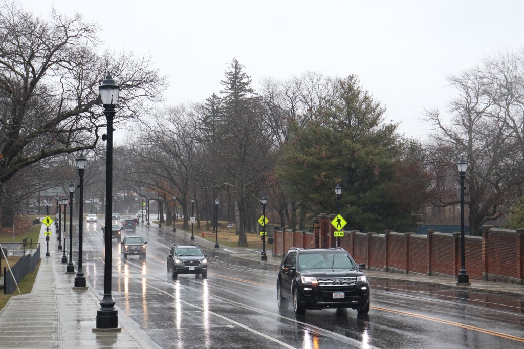
At the south border of Boston, at the shore of the Neponset River, sits the Dorchester neighborhood’s Neponset Circle. Though it is known to many locals as a traffic hotspot for city worker’s evening commutes, it is also the beginning of one of Massachusetts’ most historic coastal roads on the mainland: MA 3A.
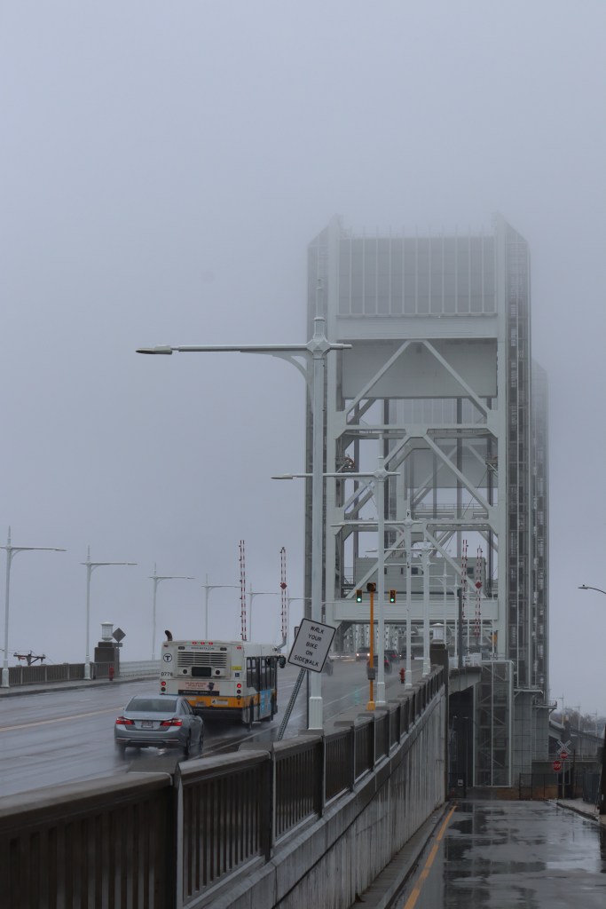
3A, technically speaking, begins in the town of Tyngsborough on the New Hampshire border. However, it disappears through much of the North Shore and Boston while combined with US 3, which turns into MA 3 south of Cambridge. Since this breaks the one road philosophy I try to follow, I will be focusing exclusively on its run south of the city, starting in Quincy at the Neponset Bridge and ending just north of the Sagamore Bridge, at the entrance to Cape Cod.
I drove this route in mid March, but it just so happened that the day I did was also the day of a heavy rainstorm through all of southern New England. Armed with an umbrella, a towel, and a plethora of cleaning equipment to keep my camera from getting damaged, I drove it nonetheless.
This is my journey down the southern run of MA Route 3A.
North Quincy
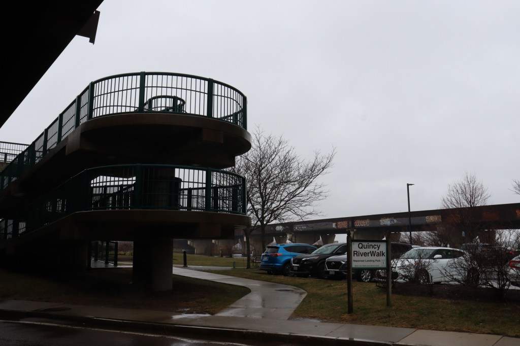
I started atop the Neponset Bridge, the city of Quincy’s gateway into the city of Boston. In looking for a spot to park to admire the bridge and its surrounding Neponset River, I discovered parking beneath the bridge instead.
This opened a unique opportunity for a little urbexing (or urban exploring, for those unfamiliar with the term). With minimal light coming through the cracks of the divided highway above, I walked down to the river’s edge and pictured the strange symmetry of the road’s foundation. Tagged with the phrases of years of local graffiti artists, this environment perfectly fit a balance between the safety of shelter and danger of the dark, a mood only caught in these forgotten corners of big-city living.
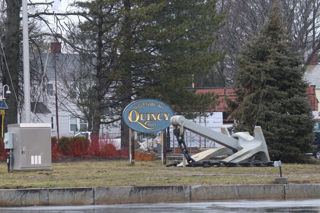
Down the road a couple miles, I entered into the incredibly diverse center of the North Quincy neighborhood. Nearly a third of Quincy’s population is Asian, with many holding ancestry in countries like China, Taiwan, Korea and Vietnam, among others. This demographic allows for one of the most diverse microcosms of culture in New England to flourish here in North Quincy. The road is bookended on both sides by every bit of regional Asian culture imaginable in the form of shops, restaurants, and community centers. This neighborhood is known by many to be even more extensive than Boston’s Chinatown, and the sights of the area prove that.


Wollaston
Past North Quincy, 3A takes a turn east to bypass Quincy Center in the neighborhood of Wollaston.
At this intersection, I stopped in the nearby park to take a look at the space around Veteran’s Memorial Stadium, the home field of New England’s major league rugby team, the Free Jacks. This area has been rapidly developed over the past several years to promote the niche sport, but on a day like today, parking lots remain empty in wait of the season to start again.

Quincy Point
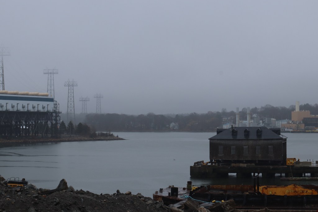
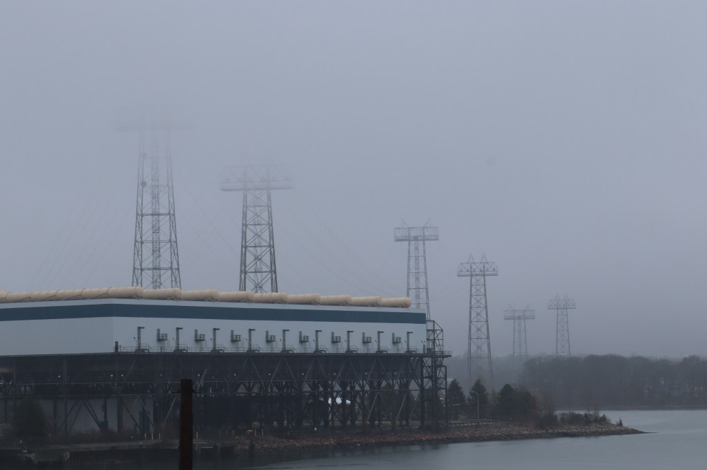
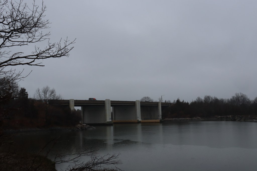
On the eastern reaches of Quincy lies the Quincy Point neighborhood, overlooked by the grand Fore River Bridge.
Historically, this area was a major shipbuilding yard for the American navy. If Quincy were to have any community mascot, it would likely be the long-nosed Kilroy looking over his table in the famous WWII graffiti art entitled “Kilroy Was Here.” That is because that image is theorized to have started circulation here in Quincy Point, and ships travelling out of this port were marked by the character starting in the late 1930s.
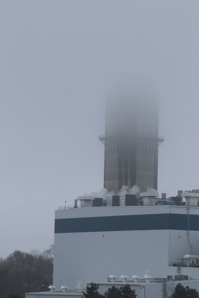
Nowadays, while the shipyard is still in working order, Fore River is better recognized by its industrial shoreline, with large power lines stretching miles to the south. The atmosphere of the storm today, however, grants these lines, as well as the bridge itself, a sense of ominousness that can’t really be matched at any other time. It’s images like these that entice me to continue my photographic journeys even through harsh weather like this.
Weymouth
Though 3A skirts most of Weymouth proper, instead opting for its more commercialized northern border, it ends on the terminus of Beal Cove, and at the intersection of 4 nature preserves: Abigail Adams State Park, Stodder’s Neck, Great Esker, and Bare Cove.
I took a short hike down one of the trails in Great Esker to look back at Route 3A from a distance. Though the path was very muddy, this natural border between the towns of Weymouth and Hingham felt calm even in the face of heavy rain, and was well worth getting my shoes a little dirty to explore.

Hingham
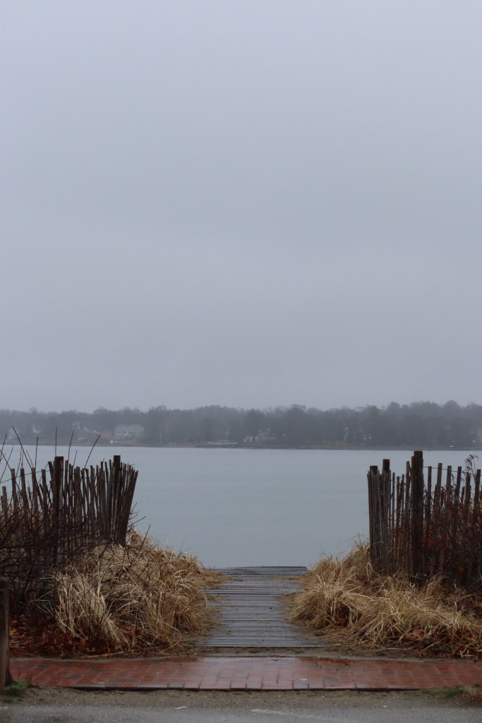
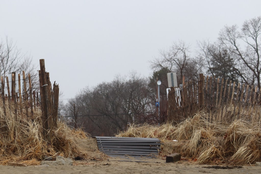
In the summertime, the Hingham Bathing Beach is a tourist hotspot for a sandy beach not too far from Boston. But today, it stands neglected in the face of inopportune weather.
The rain really started to pour when I parked here, but nevertheless I wanted to get out and walk around a little bit. The empty beach looked abandoned, given it’s only March and the sun is nowhere in sight. But in this lack of human activity, nature was having a bit more of a field day…


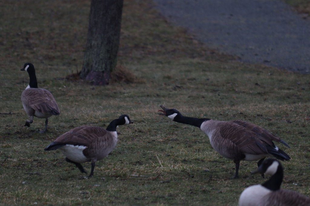
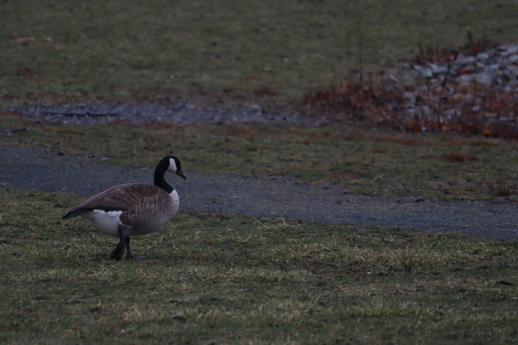
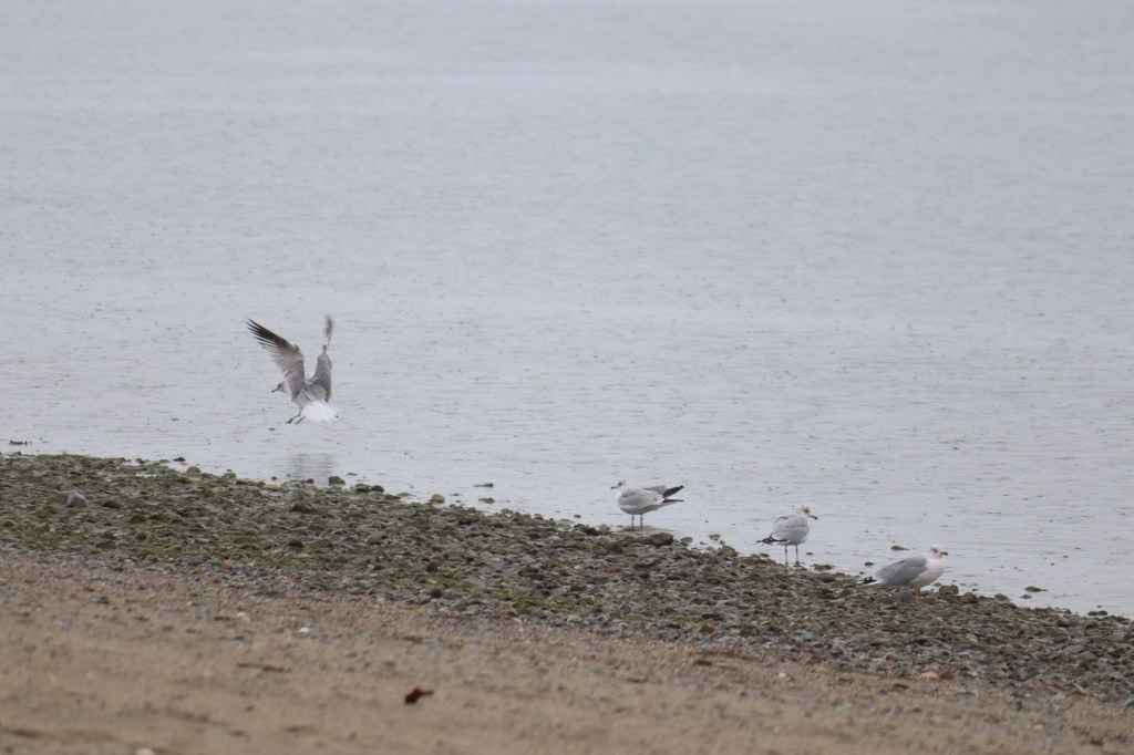
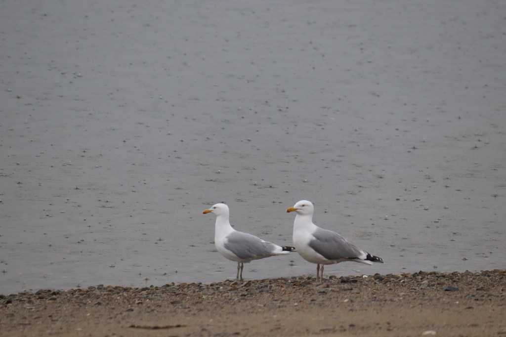
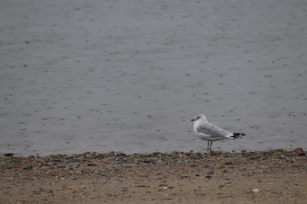
A Short Pause for Birds
Birds took over the beachfront park in the storm. Here’s a little glance at what they were up to:

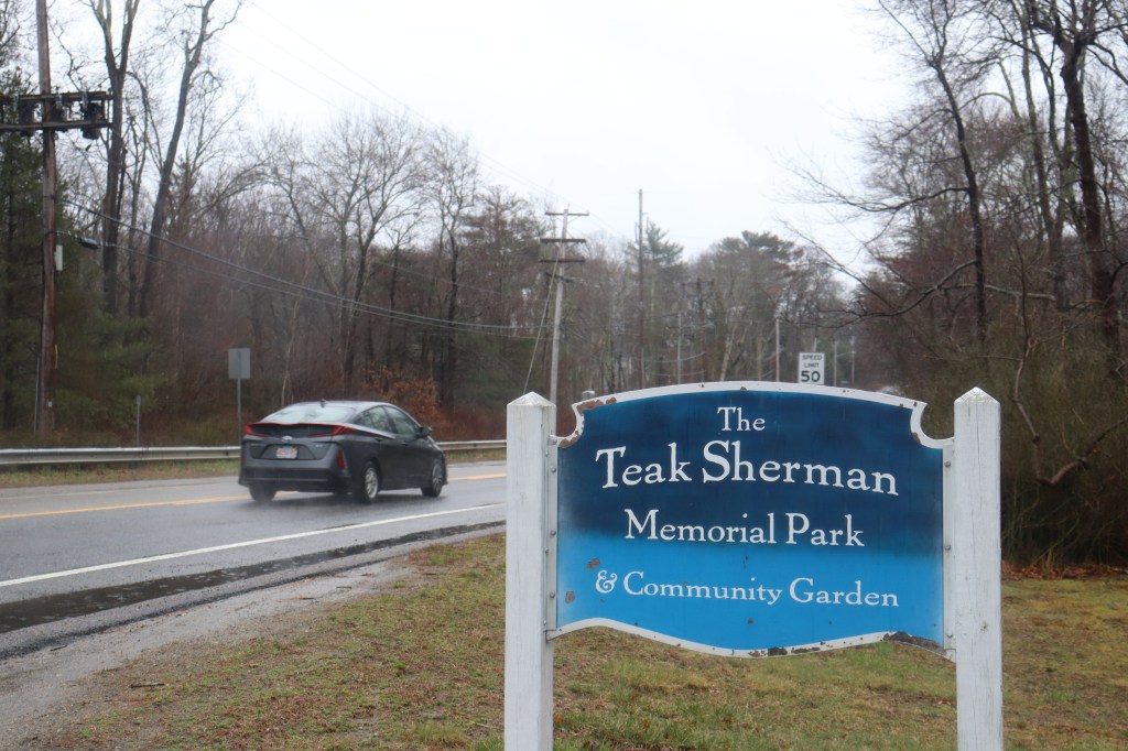
Scituate
3A continues past the small village of Cohasset in a mostly highway fashion, avoiding much of the town center. Scituate (the first syllable being pronounced as “sit,” anything else could get you run out of town), on the other hand, gives us our first real look at the less urban sections of south shore living.
I first stopped outside the town hall, in a small community garden upkept by a small coalition of local townsfolk. Since it’s not quite the spring season here in Mass, there’s no flowers to admire just yet. But the vibe of the park still remains as a peek into a small community project of dedicated neighbors.
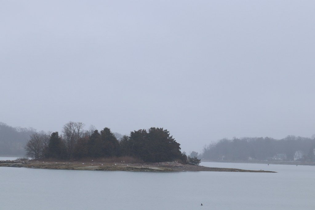
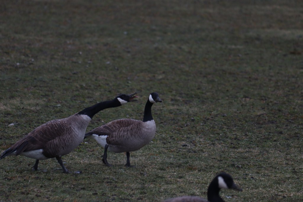
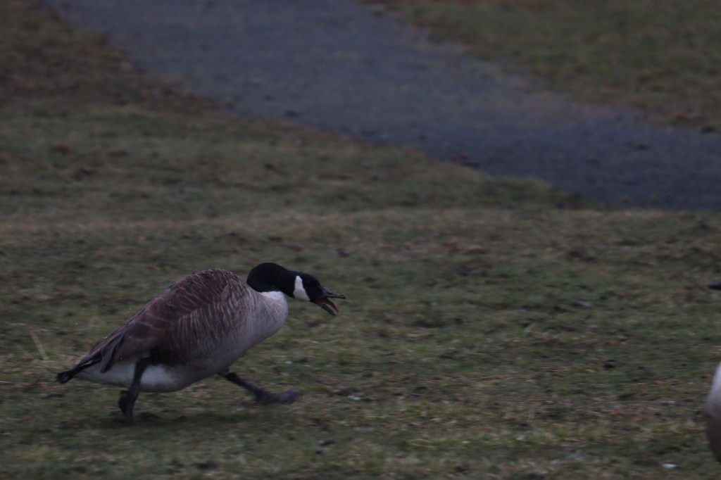
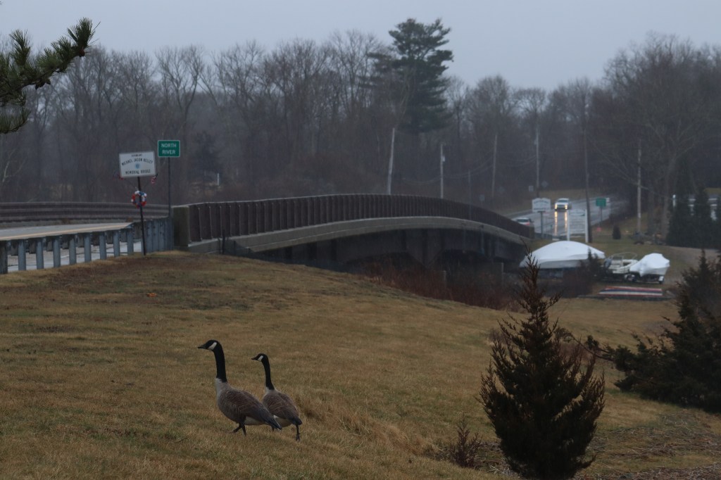
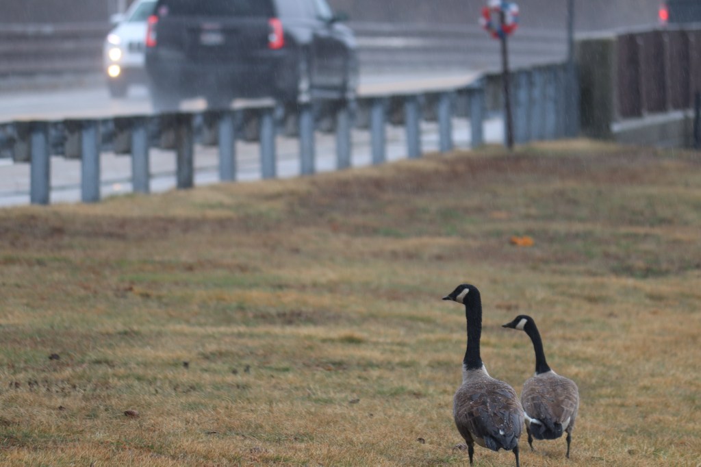
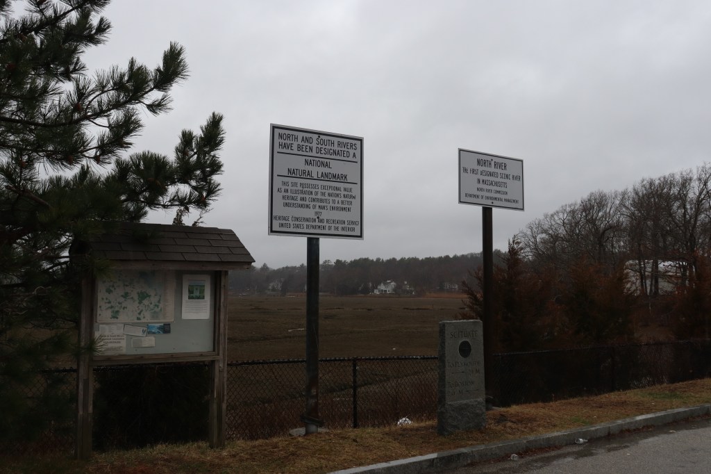
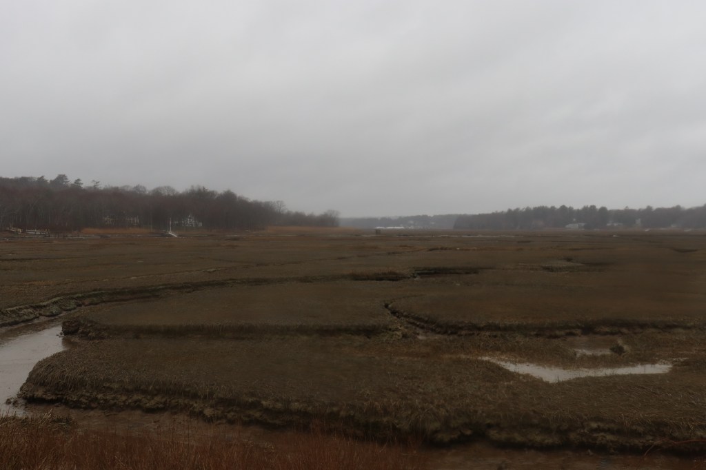
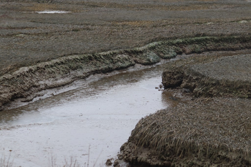
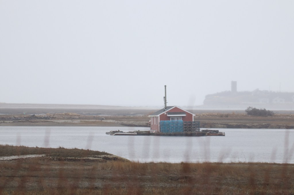
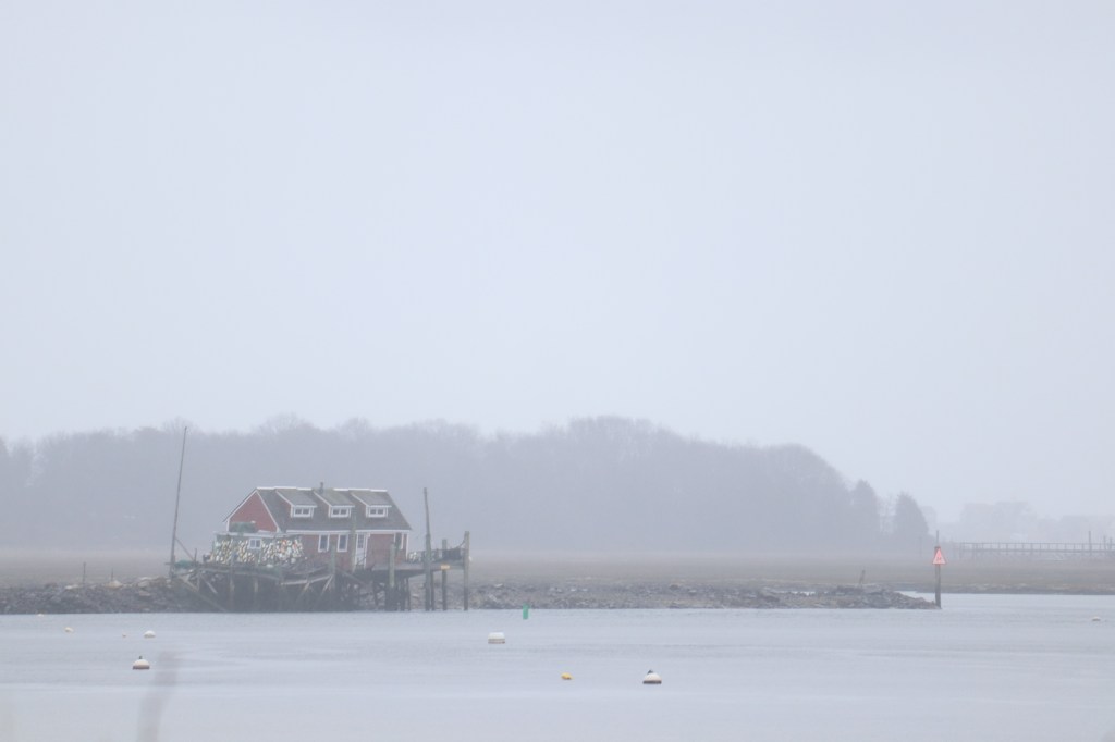
Driving further towards the Marshfield border, I passed over the historic North River. In both directions, it’s possible to spot small fishing shacks through the dense fog, positioned at high points in the marshland on the banks of the river. Here too, a couple of geese graze along the roadside, finding their way through the stormy afternoon.


Duxbury
Duxbury is known to many on the South Shore by the nickname “Deluxbury,” as its known even more so than its neighbors as a retirement destination for the upper class.
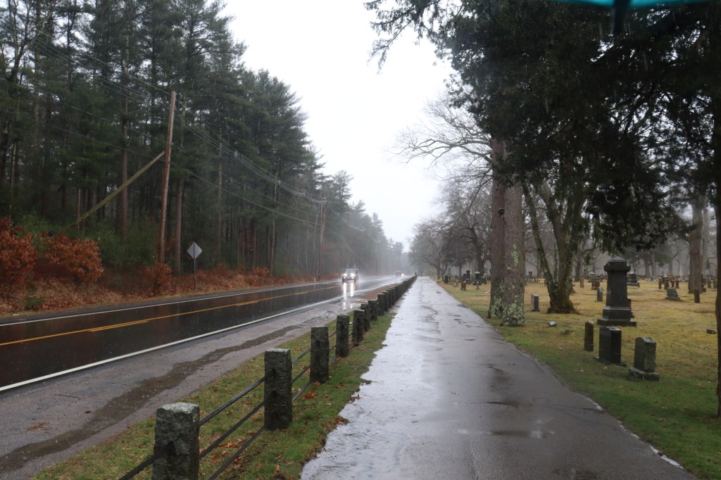
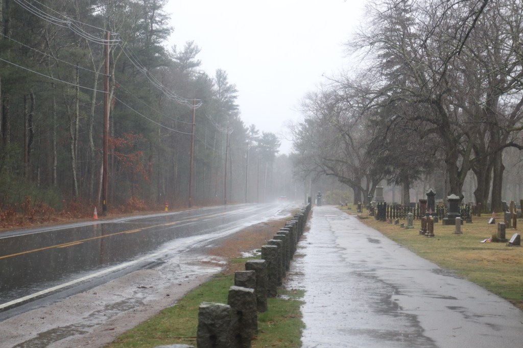
But in exploring Duxbury today in the deep storm, I opted to stop in the Mayflower Cemetery, overlooking a more forested section of 3A. With the fog this dense, the road’s aesthetic changed immensely, and taking this photo from a cemetery just felt like it would add that extra touch of oddness it needed.
North Plymouth
North Plymouth fits the bill for a rural New England town center. It has a few local shops around a single major intersection, but maintains its quaint style well.
Soon after though, the urban sprawl we left in Weymouth and Hingham would return again, in the form of Plymouth proper.


Plymouth
The first of Massachusetts’ colonial towns, Plymouth has grown into a city all of its own.
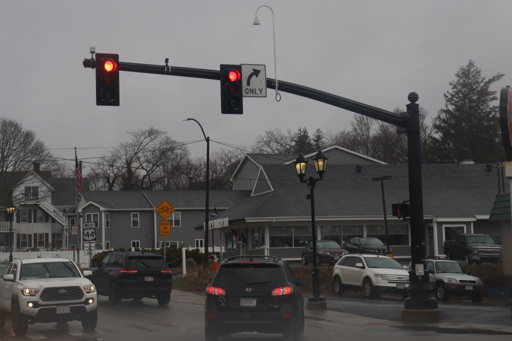
I first stopped at the beginning of US Highway 44 (another one road I have on my radar someday). Unfortunately, the pressure of the storm front was changing, and my camera lenses were beginning to fog uncontrollably. I was able to salvage a few shots however, including the famous orange whale sculpture by the seaside.
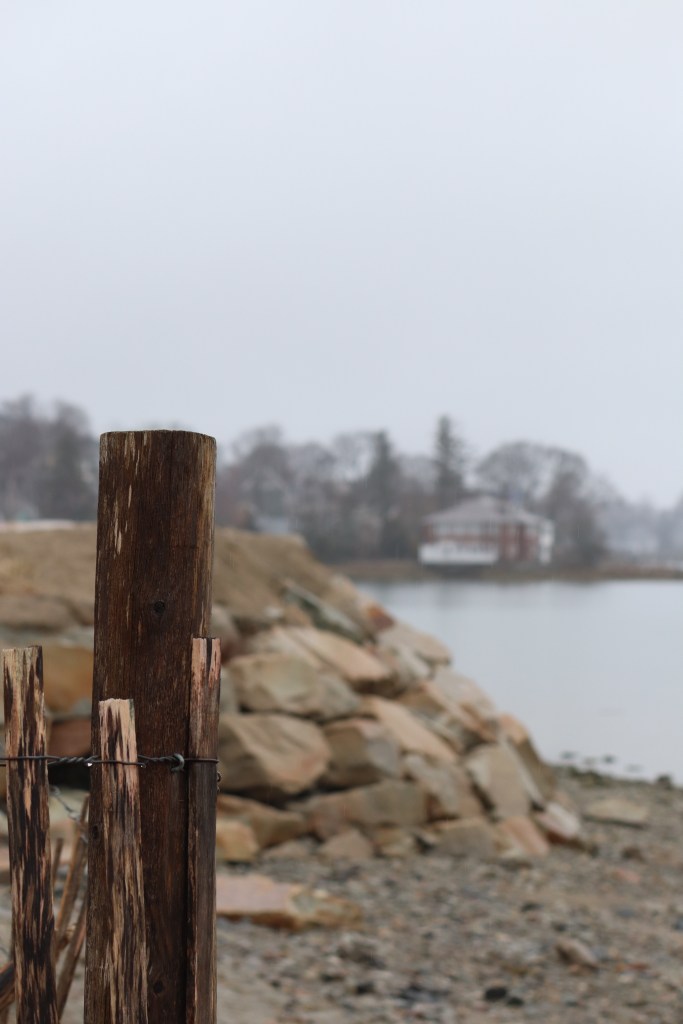
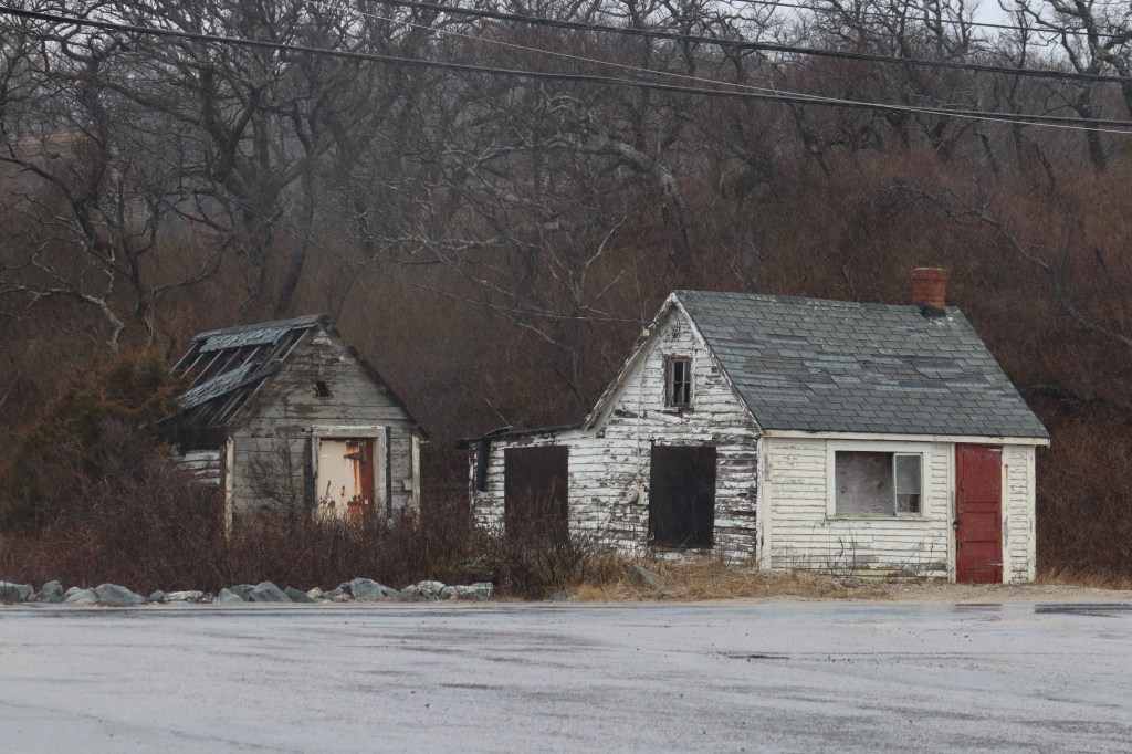
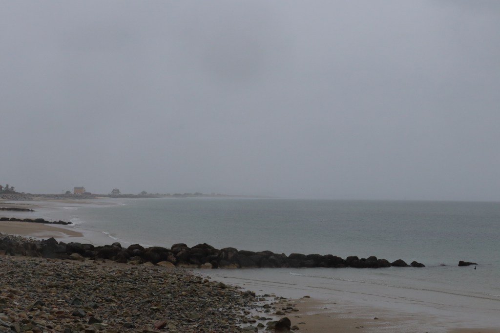
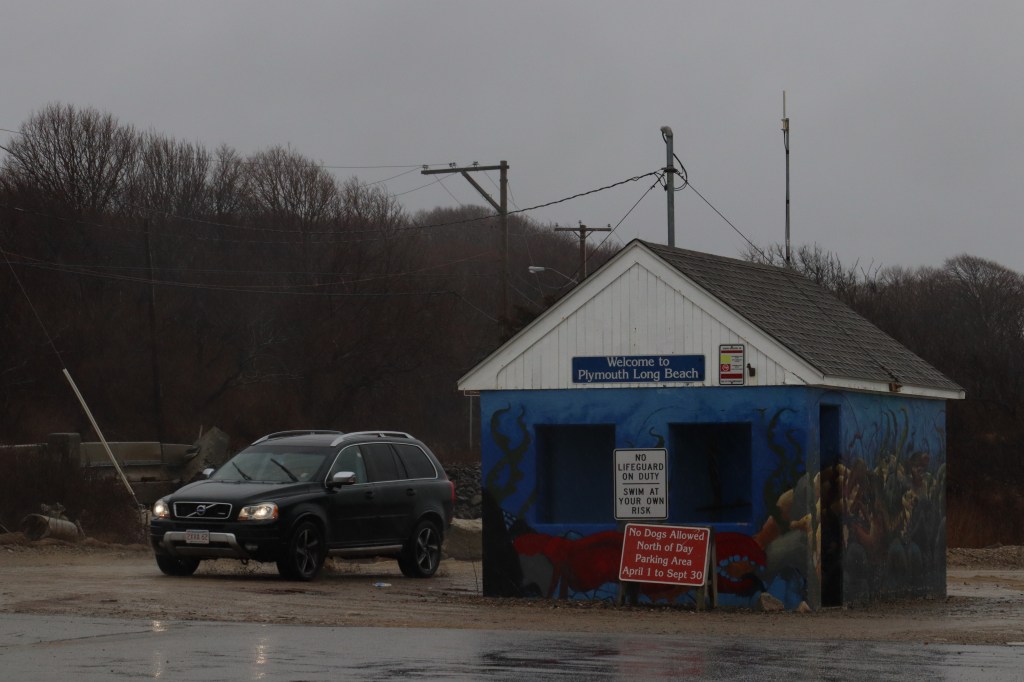
Further south, I stopped at what appeared to be an abandoned pier at the southern entrance of Plymouth Beach. The buildings were long since forgotten, and in this stormy weather, they took on a style all of their own.


Sagamore
And with that, we’ve reached the end of MA Route 3A. Though it technically ends in the village of Cedarville in Plymouth, I travelled a little bit further down the now unmarked road to Sagamore, a village in the Cape Cod-bordering town of Bourne, to view what many believe to be the capstone of the South Shore – the Sagamore Bridge.
Against a gray sky, this curved trestle bridge sticks out as an entrance to Massachusetts’ most toured scenic region. But exploring the Cape is a journey for another day.
For now, this rainy one road tour of the South Shore is over. While the storm made it a lot harder to use my camera and made it a bit challenging to drive through some especially coastal spots, it was well worth exploring this oft-travelled scenic route in conditions that most would never even think to. I can highly recommend taking a drive down 3A in any weather, but if you’re up for a bit more of a challenge to see something new, a storm like today’s is the way to go.


Leave a comment