Massachusetts
-
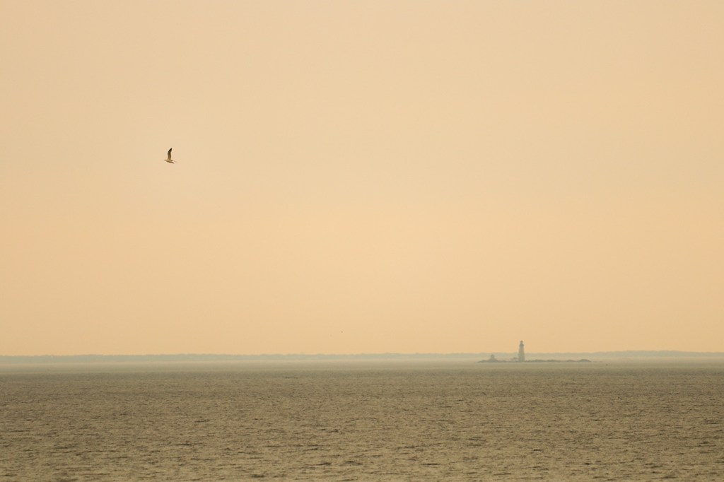
Smoky Twilight Over Boston Harbor – A Drive Down Nantasket Ave
In mid-July of this year, Greater Boston was engulfed in dark skies due to a massive series of wildfires on the border of Ontario and Minnesota about 1,000 miles away. I’ve lived here for my whole life and have genuinely never seen skies like this ever, so I knew I had to scramble to document…
-
A North Shore Bus Tour – A Trip Down the MBTA’s Route 442
This post is a little different than our usual transit adventures, as we’re really looking at two sister buses that run nearly the same route. MBTA Routes 441 and 442 both extend from the northern terminus of the Blue Line in Revere up to Marblehead, a historic peninsula town that’s otherwise completely cut off from…

-
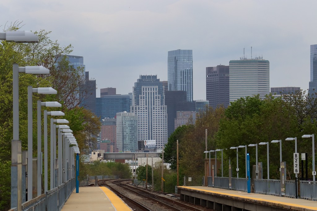
The High-Speed Train Through the Heart of Boston – A Trip Down the Fairmount Line
Within the densely interconnected web of subway routes in Boston, one route stands out for just how strange it is in context of the greater system. It connects some of the largest residential neighborhoods in the city to its commercial hub, and runs just blocks away from the largest park Boston has to offer. The…
-
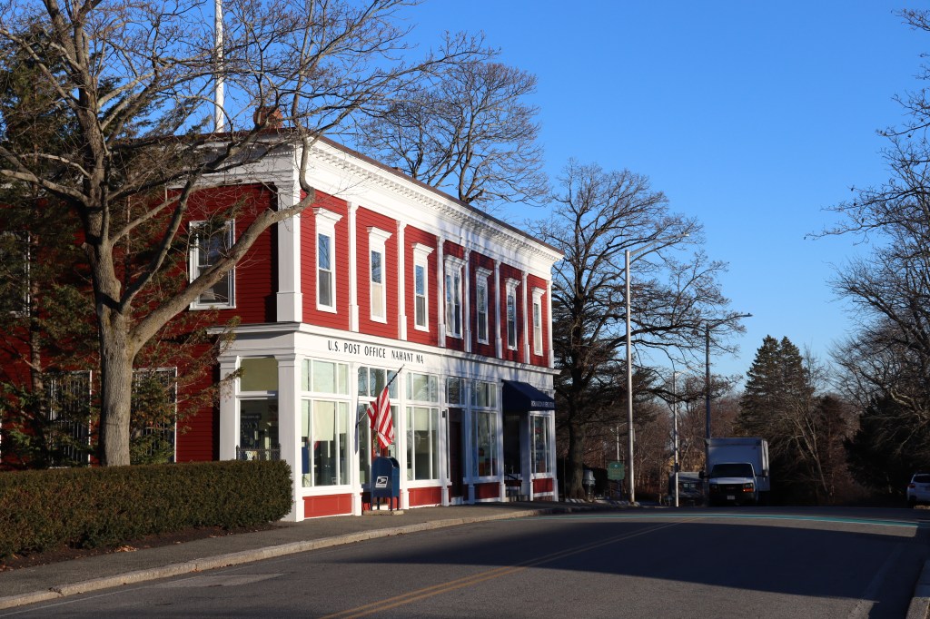
Greater Boston’s Forgotten Scenic Beach Town – A Walk Down Nahant Road
Massachusetts is well known for its coastline. From the national seashore of Cape Cod, to the marshland fishing towns of the Gloucester region, to the many islands of Boston Harbor. But one part of the seashore is largely forgotten by anyone but the locals who live there: the small peninsula town of Nahant. Nahant Road…
-
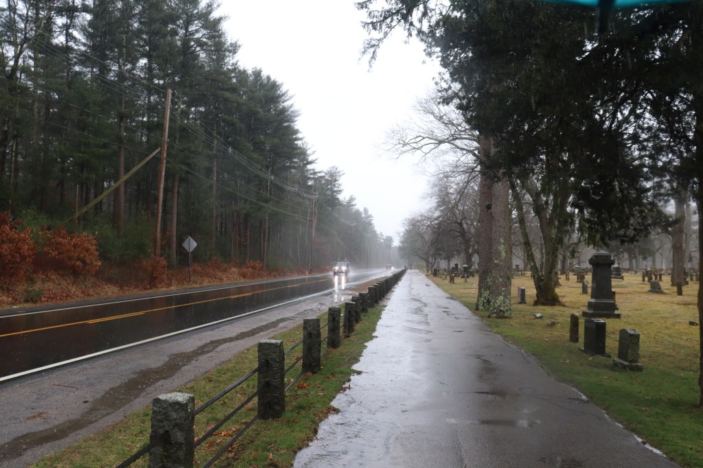
The Urban Coast of South Shore Mass – A Drive Down Massachusetts Route 3A South
At the south border of Boston, at the shore of the Neponset River, sits the Dorchester neighborhood’s Neponset Circle. Though it is known to many locals as a traffic hotspot for city worker’s evening commutes, it is also the beginning of one of Massachusetts’ most historic coastal roads on the mainland: MA 3A. 3A, technically…
 One Road