It’s been a while since we’ve taken a walk on One Road! So it’s time to park the car and take a stroll through the northern MA city of Lowell.
The Merrimack Canal Walk (A.K.A the Lowell Canal Walk) hits a wide selection of historic industrial infrastructure and classically federal architecture, but it certainly takes a… unique route through the city. The official map of this route is a winding set of disconnected trails, with overlaps and dead ends aplenty! In order to actually make a One Road out of this, I had to somewhat plan a custom route that follows as much of this as possible, and take a few creative liberties to avoid going around the same small park 5 times (we’ll get to that). Even with that little complication, I’m still happy to call this a One Road journey, and quite the fun one too!
Shen joined me once again for this trip, continuing their run of joining me on our more urban journeys over the years. We walked our route on a beautifully clear day in early September, and luckily landed on one of the first cool days after a historically hot summer. The walk we’re taking is only about a mile from start to finish as the crow flies, but due to its labyrinthine nature, we had over three miles to go around the city center. We’re going to get a bit lost on this one.
This was our journey down the Merrimack Canal Walk.
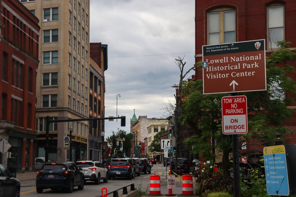
Maria Island
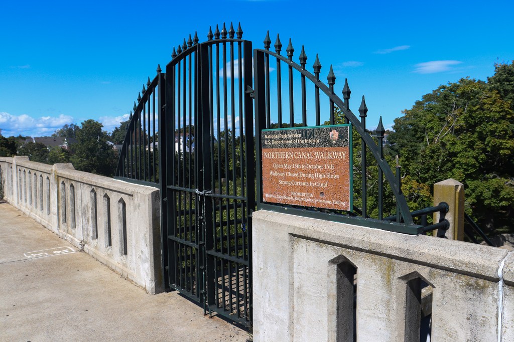
We start at the beginning of the Northern Canal, right at the entrance to Maria Island off of Mammoth Road. But of course, we immediately hit a roadblock – the gate was closed. This was well into the walkway’s open season, at midday, and the river wasn’t experiencing any sort of high flow. Luckily for us, there was another gate further down the O’Donnell bridge on the other side of the canal that was open, but something tells me this won’t bode well for our continued following of the planned path.
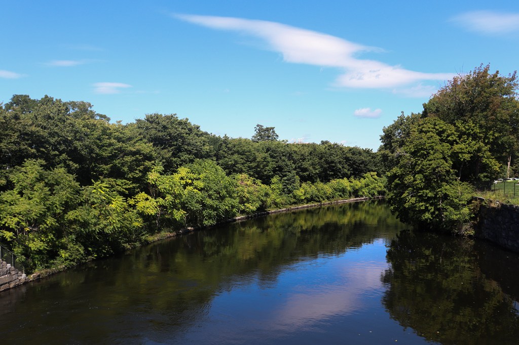
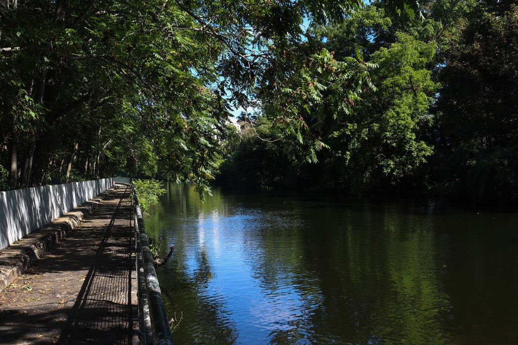
Beyond our travel hiccups however, this first portion of the trail is a beautiful forested walk along a very calm canal. It genuinely is hard to tell you’re on the outskirts of downtown here, as the dense tree cover and Lowell’s lack of tall buildings blocks out most of the urban landscape.
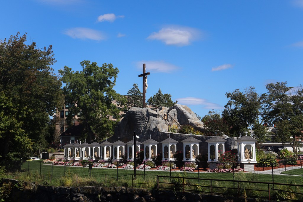
Our little detour at the start also let us take a look at Lourde’s Grotto, a cavernous shrine on the former grounds of a private Catholic school with a frankly wild amount of statues. Apparently this has remained a fairly well-visited shrine for folks in the Catholic community, and is even still being maintained a decade after the Franco-American School shut down. For us non-religious folks, it’s still a neat little architectural anomaly to take a look at in contrast to all the buildings around it.
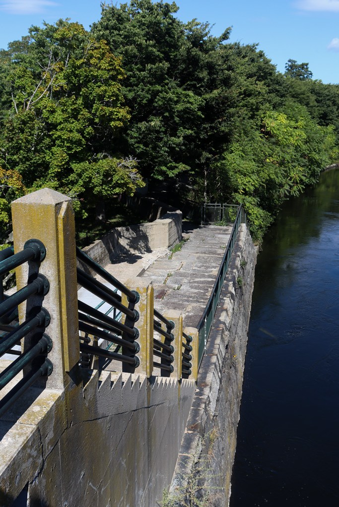
Pawtucket Falls
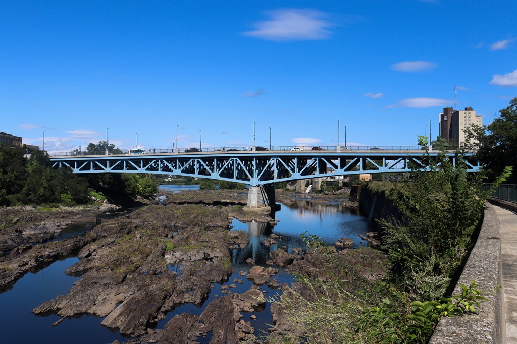
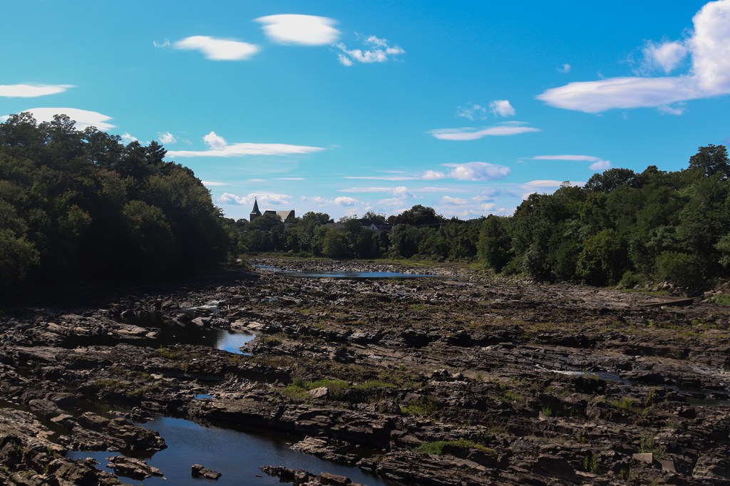
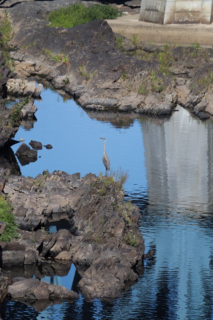
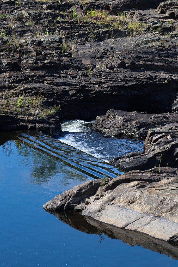
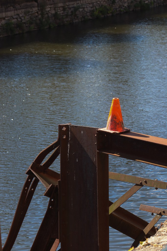
You may recognize this location’s name from the starting point of our trip across Providence a few months back in a city of the same name, but this isn’t just the Merrimack’s nod to Rhode Island. As it turns out, “Pawtucket” is an Algonquin word for “River Fall” (meaning in both cases, the area is essentially called “River Falls Falls,” and that’s fun etymology!). Unlike the small but pretty waterfalls we found at Slater Mill though, the Merrimack’s Pawtucket Falls are a sprawling system of rocky rapids stretching nearly a mile down the river.
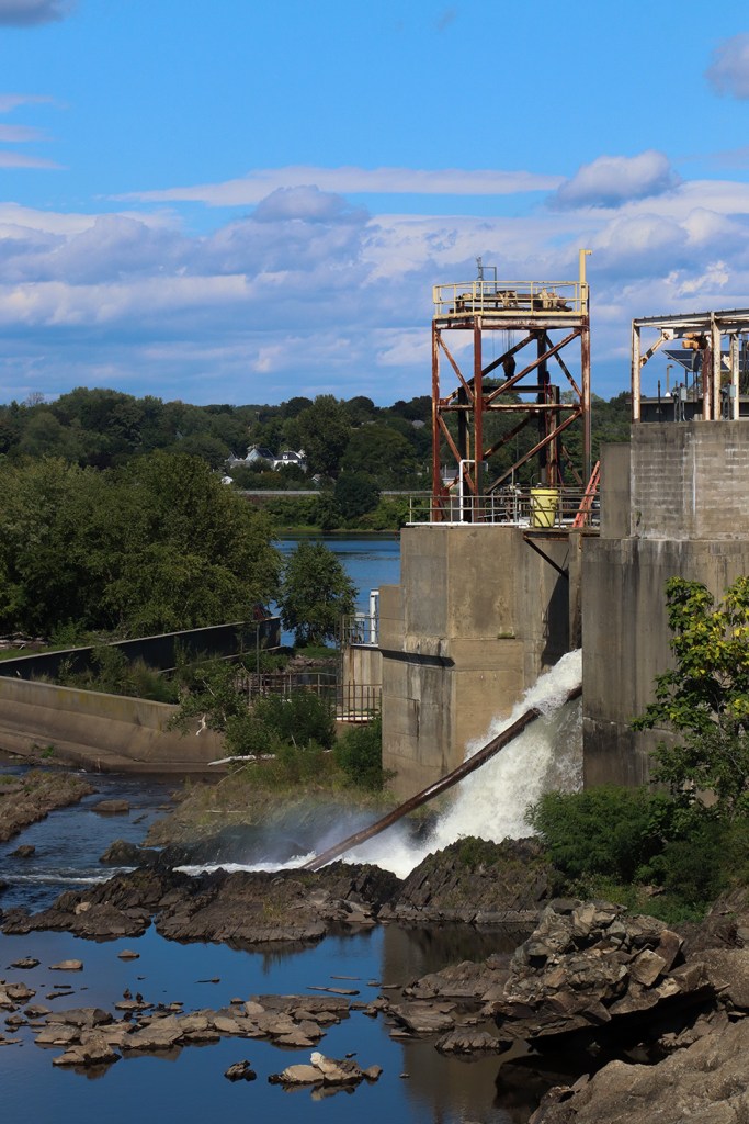
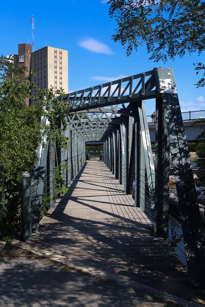
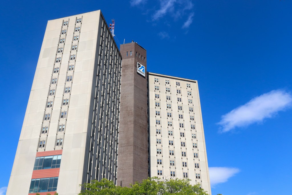
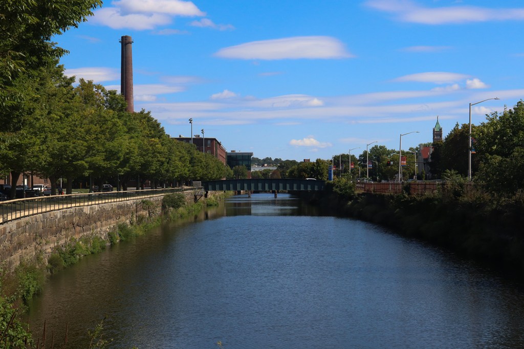
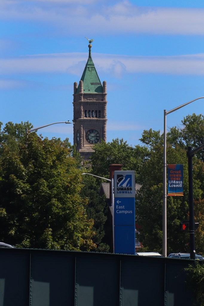
It’s here that we also reach what is perhaps Lowell’s most famous institution, its UMass campus! UMass Lowell actually has three different campuses around Lowell, and the University Ave bridge acts as the connection between the North and East. We’re going right under that bridge, and getting a great view of the century-old infrastructure that made Lowell a city in the first place!.
One more truss bridge crossing marks the end of the Northern Canal Walkway, and brings us south towards the city center.

Wannalancit
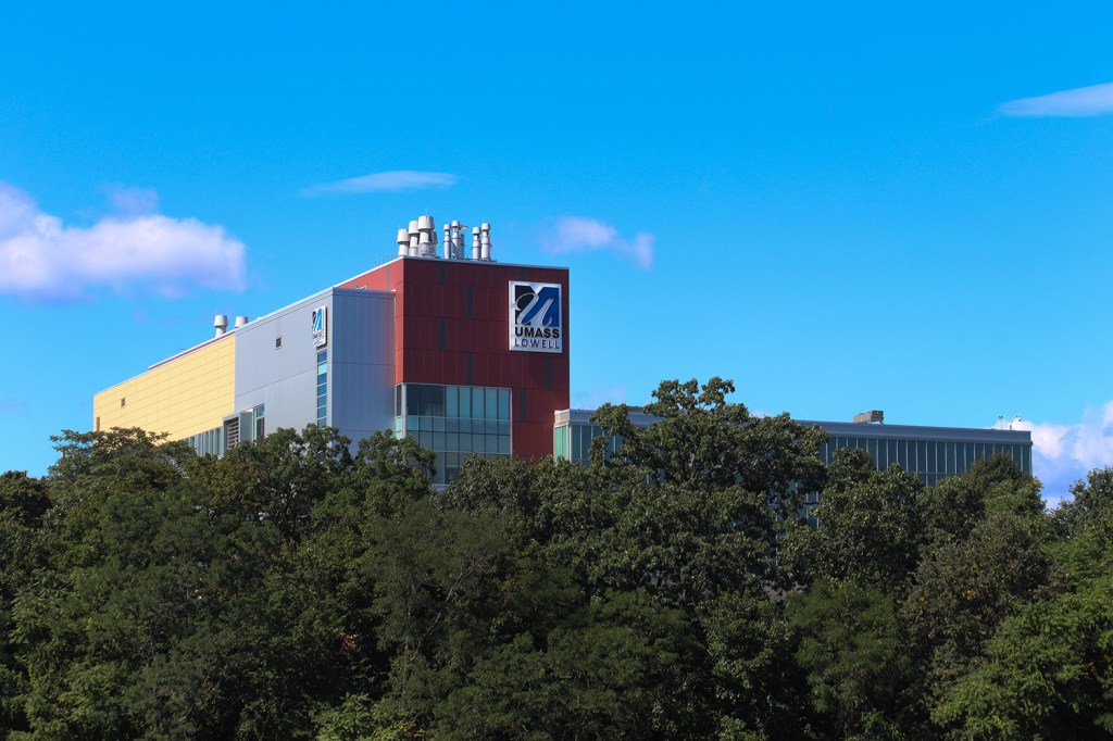
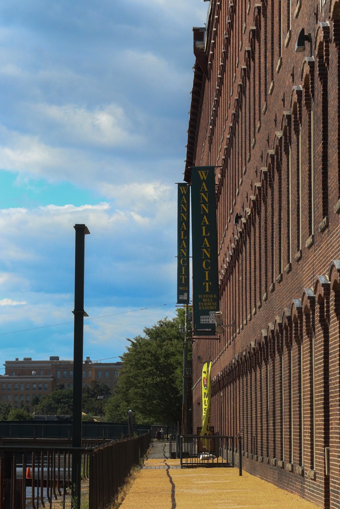
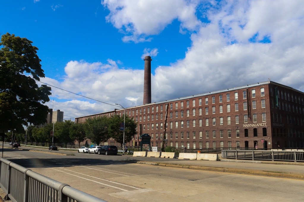
The Northern Canal passes by UMass Lowell’s East Campus and leads us to Wannalancit, a collection of mills at the intersection of the Northern and Western Canals. This used to be a cotton mill in the 1830s, and is now used primarily as a corporate office space, however there is still a section of the main mill building operated by the National Park Service as a part of the Lowell National Historical Park.
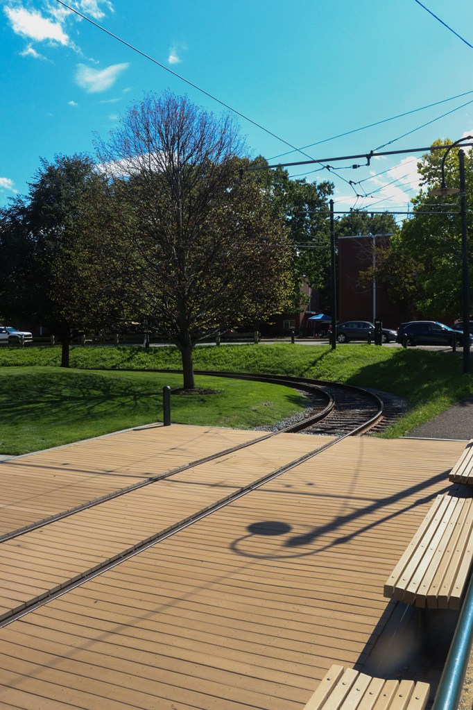
Wannalancit is also home to the first of several trolley stops across downtown Lowell. That’s right – Lowell has a historic streetcar trolley that’s still being operated as fare-free public transit! Unfortunately, it only runs Wednesday-Sunday in the afternoon, and we did this walk on a Tuesday, so we won’t be doing much trainspotting today. We will be walking between many of its stops though!
Western Canal
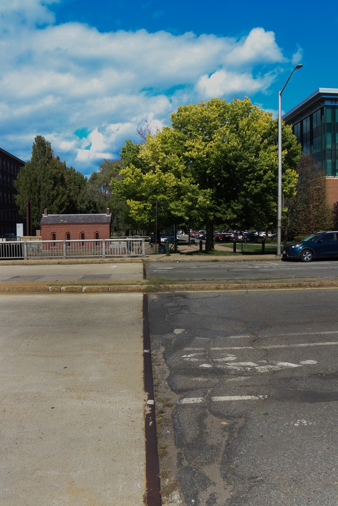
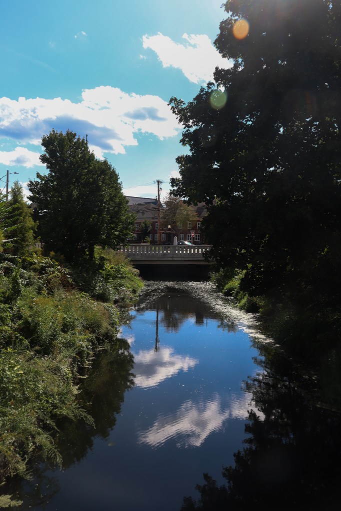
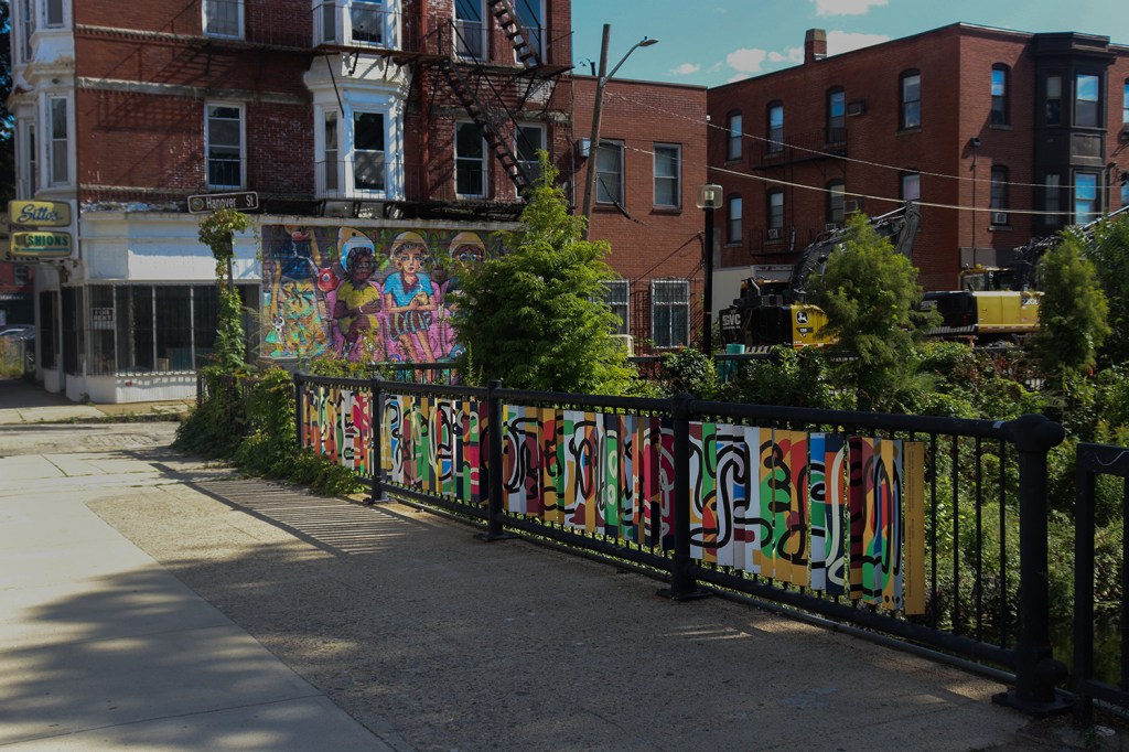
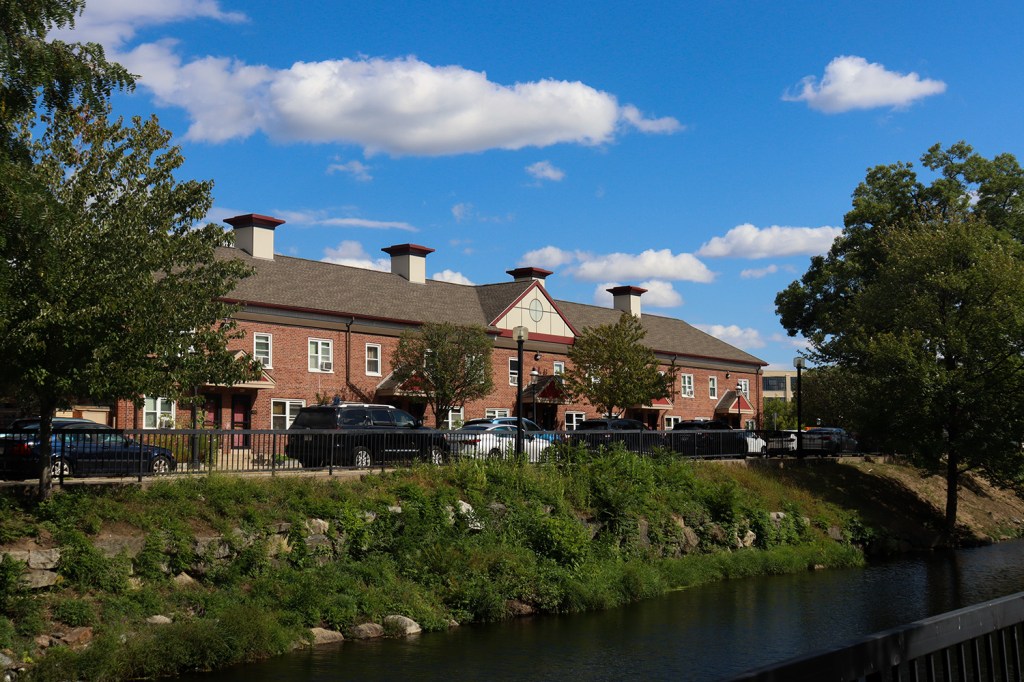
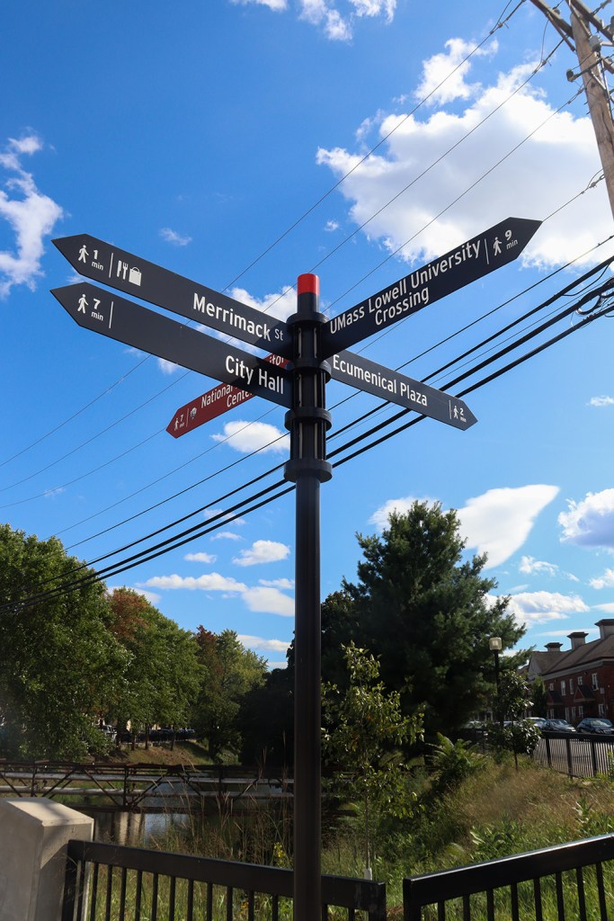
The Western Canal, ironically, leads us south through a mostly residential neighborhood of Lowell known as The Acre. But before we get there, we have to do a light bit of jaywalking – much of the canal walk is disconnected here and there’s not even crosswalks on several of the intersections we need to pass through.
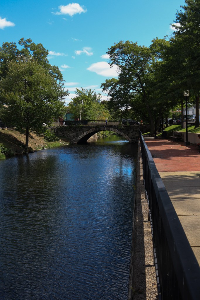
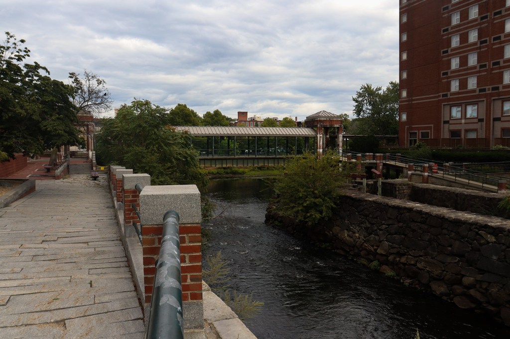
This canal is a lot narrower than what we’ve seen up until this part, and as such, nature has taken over quite a bit of it. But as we moved south, the bridges that cross it became more and more interesting in their largely-cobbled designs. In particular, we were really in awe of the Broadway Street bridge, a beautifully maintained cobblestone arch that looks unchanged since the 1800s (although later research found it was repaired and slightly remodeled back in 2023).
Utopian Park
Alright, this is where the route gets a bit weird. The aforementioned map of the Canal Walk has a whopping three different routes going through or around Utopian Park at the intersection of the Western and Pawtucket Canals, so we ended up landing on a bit of a combination of hitting all three.
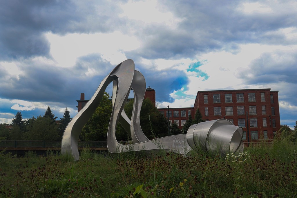
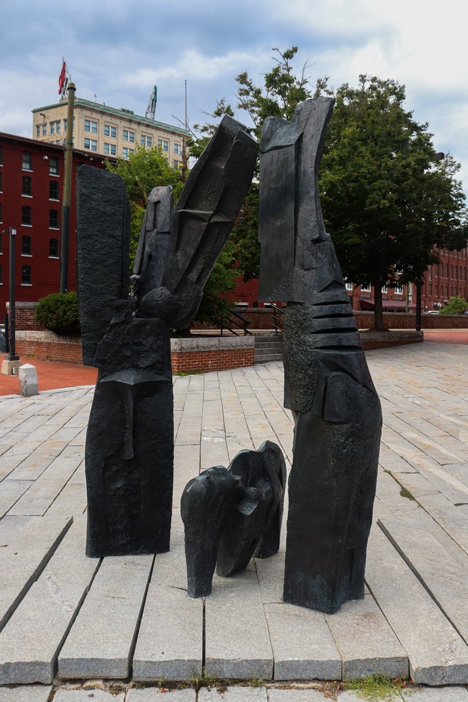
We started on the southern end of the canal outside the Lowell Justice Center, then walked up Canal Street and around the perimeter of the park. There’s honestly not too much to see around here, as we’re currently a ways south of most of Lowell’s historic landmarks, but there is a very abstract sculpture in the center called Hydro. I honestly spent way too long getting different photos of this piece, but there were so many interesting angles to look at it from!
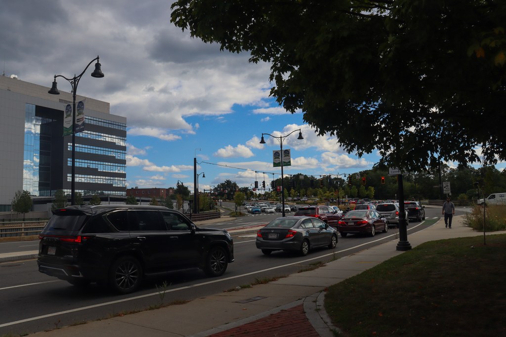
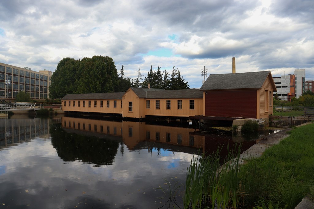
At the north end of Utopian Park, we also saw our first lockhouse of the trip. Lockhouses are the stations by which canal locks can be opened or closed to allow boats to safely pass through elevation shifts. Lowell’s two lockhouses each span the width of the Pawtucket Canal, and have maintained their original architecture styles. This first one is at Swamp Locks, and is also part of the National Historical Park!
Mack Plaza
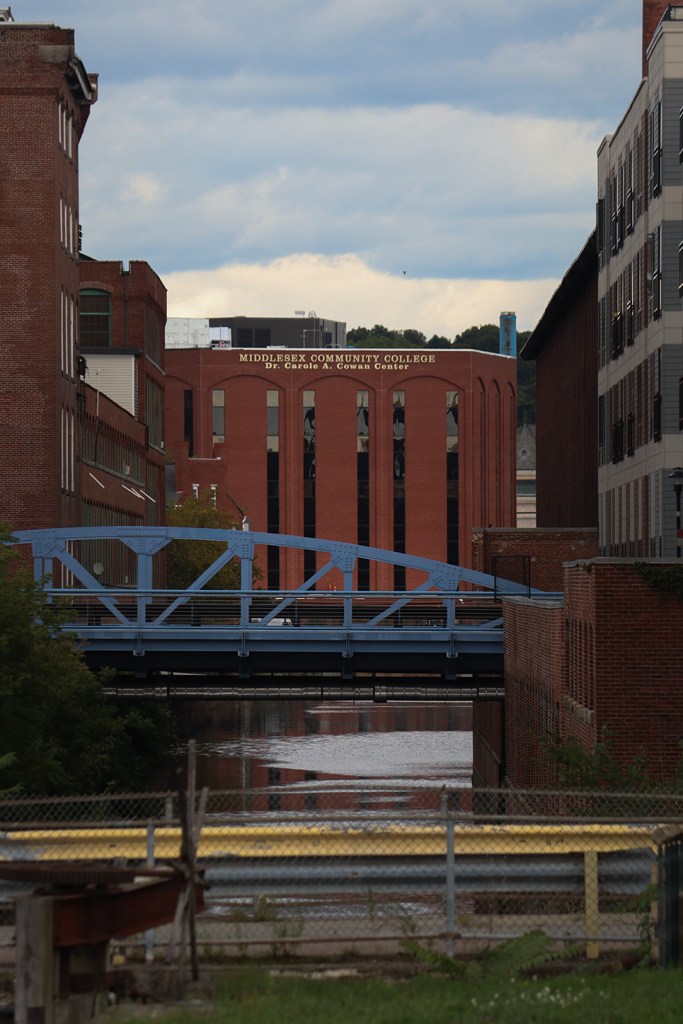
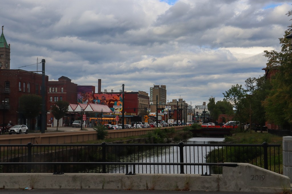
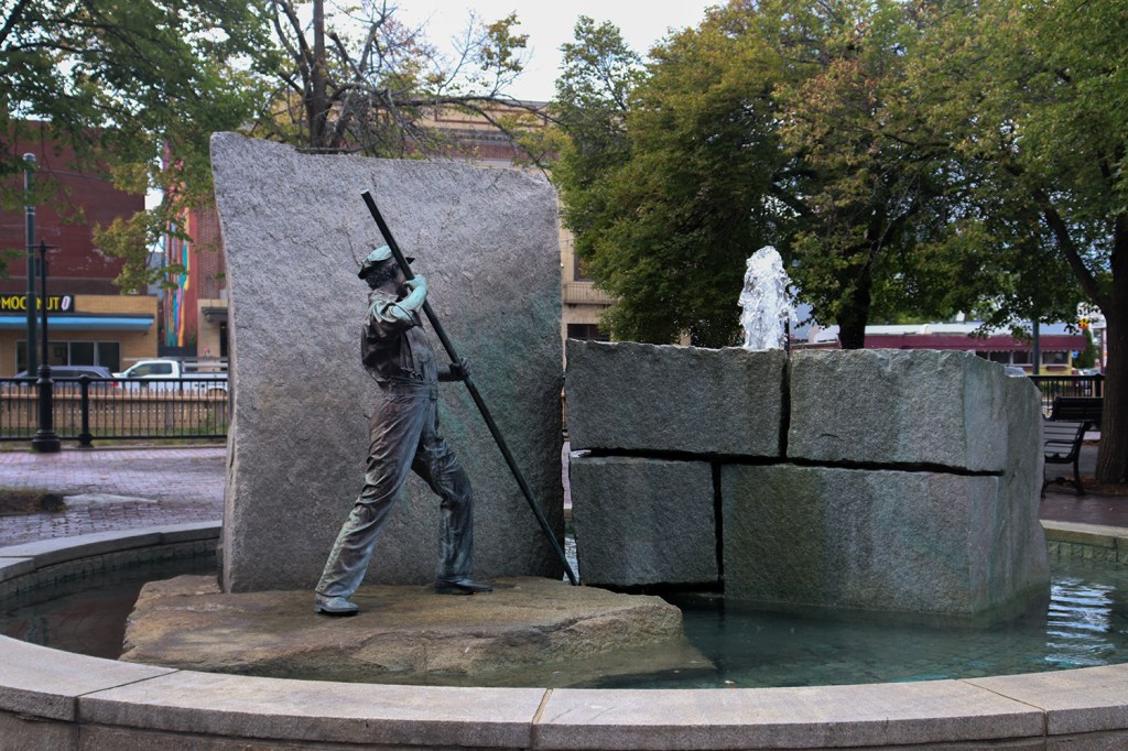
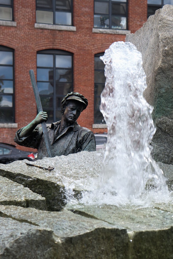
Now following Merrimack Canal to the north, we made our way up to Mack Plaza and, finally, the core of Lowell’s downtown. The plaza is known mostly for its statue “The Worker”, who stands by a fountain marking the entrance to Lowell’s Historic District to the east. However, we’re still not actually going into the historic district just yet, as we still have a mile or so of walking to get around the perimeter of the neighborhood.
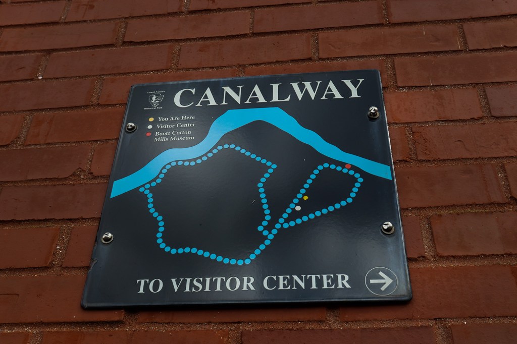
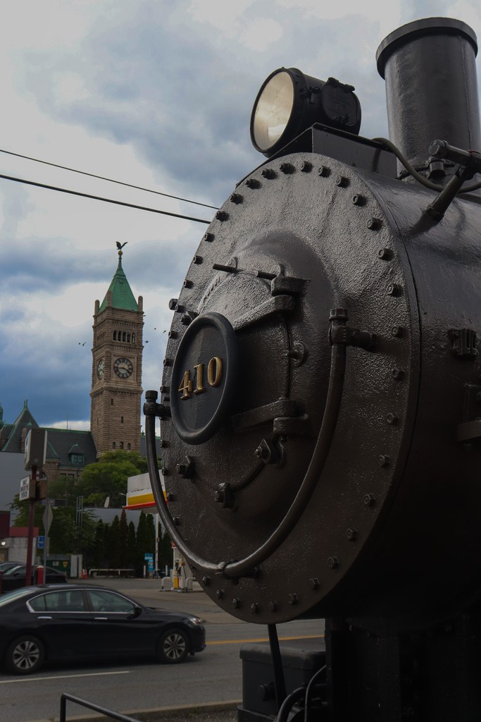
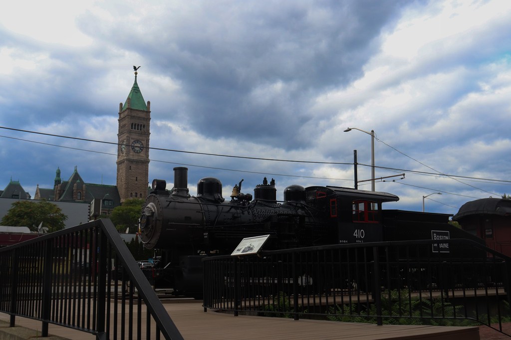
Merrimack Canal is also where we meet up with the streetcar route once again, as well as its operator, the National Streetcar Museum. While the museum was also closed today (Tuesday’s just not the best day to see trolleys, I suppose), there was an old steam train from the Boston and Maine company sat outside where we got plenty of pictures. There was even a map of the original “Canalway” route by the NPS, which is actually concurrent! As far as I could find though, it’s not maintained as one route in full anymore, so that’s why we have to stick to our creative take on a start-to-ending One Road.
Boott Cotton Mills
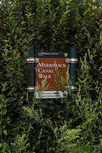
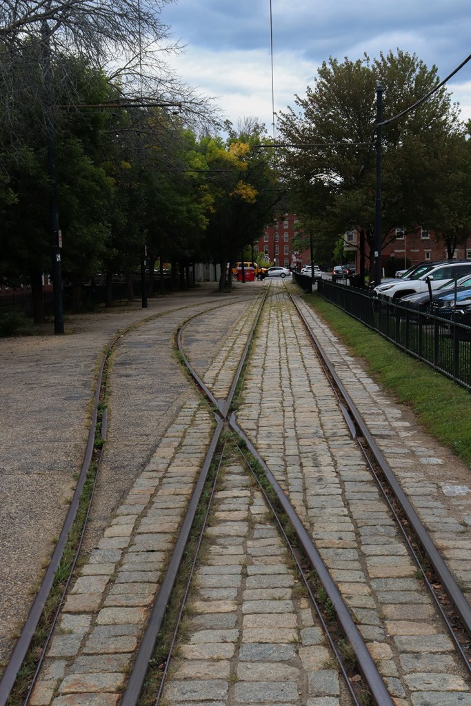
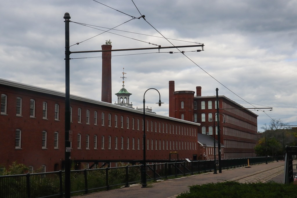
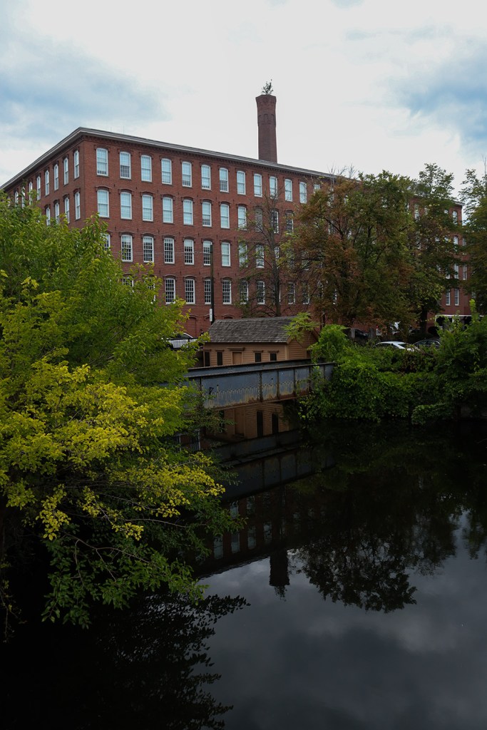
Following the trolley tracks north led us to the next of Lowell’s famed mills: the Boott Cotton Mills. This is perhaps the most famous relic of Lowell’s industrial days, as basically the entire campus has been preserved and converted into a museum and apartments.
This section of the trail is very quiet, as really the only traffic going through here is that of apartment residents. Likely due in part to ongoing construction to renovate the nearby Lowell High School, this section was definitely a bit more overgrown that what we’d seen so far as well. But the break was nice, especially considering the silliness of the paths that awaited us in the last quarter of this journey.
Lower Pawtucket Canal Reservoir
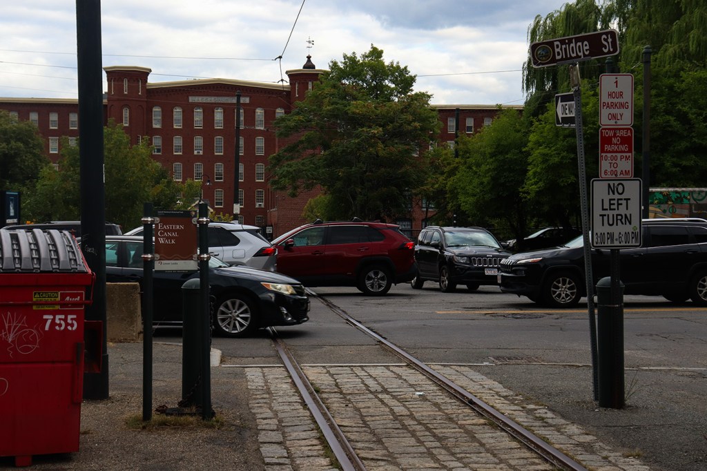
After Boott Cotton Mills lies the Eastern Canal , and some of the most confusing signage and trail markings on the entire route. The Bridge Street crossing immediately started this leg off with a four-lane road lacking a crosswalk, and continued to Jack-Kerouac Park with another blank road at a busy apartment lot’s entrance.
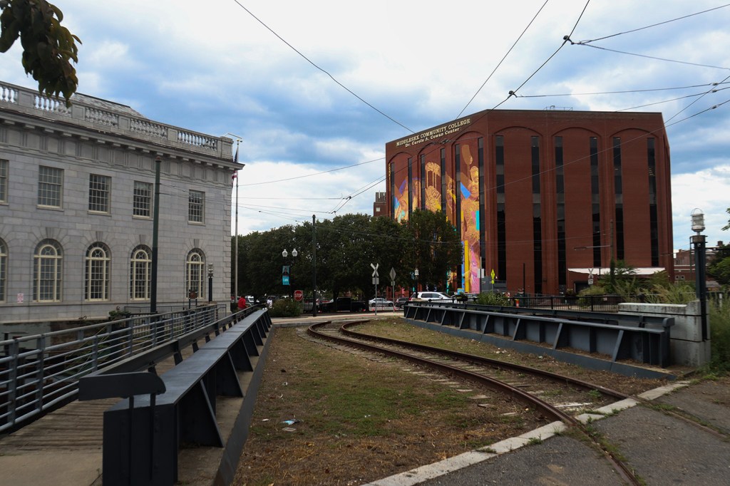
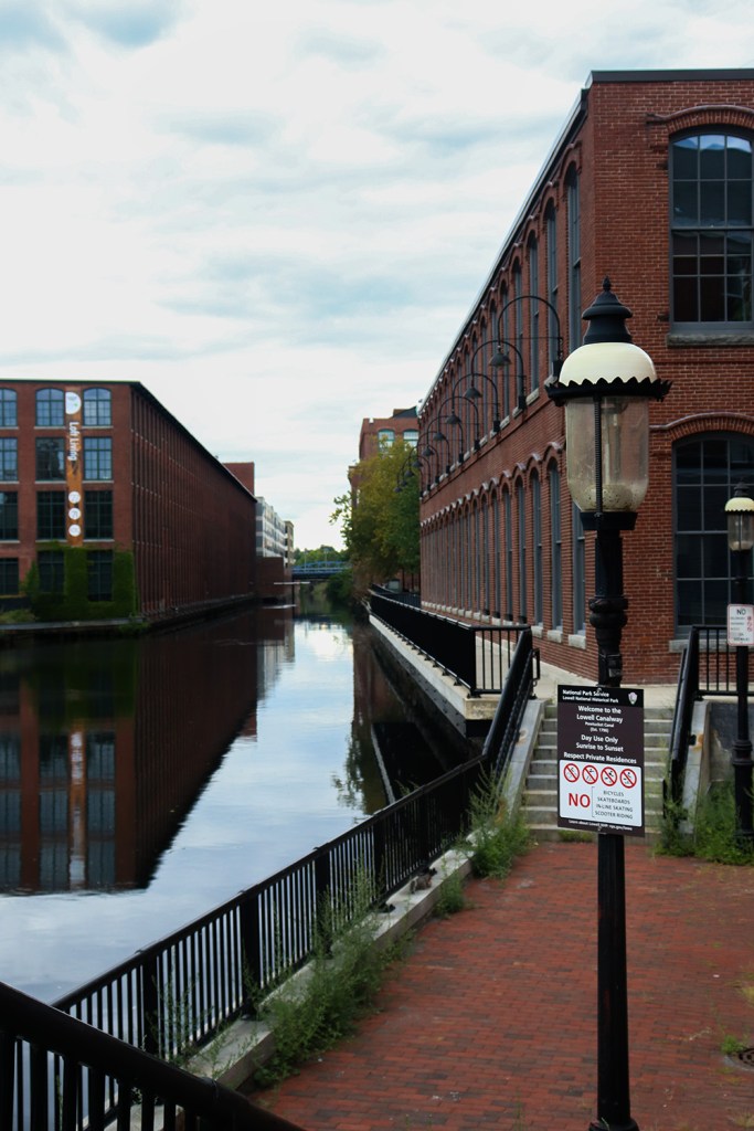
Once we crossed one more especially windy trolley bridge and found a (thankfully real!) crosswalk past Kearney Square, we found our way to the Lower Locks. From here, you can actually see all the way back to Utopian Park! Although the path predictably doesn’t lead back there from here.
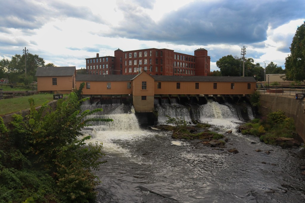
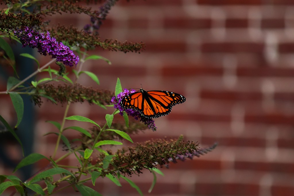
Lower Locks is home to the other of Lowell’s historic lockhouses, and this one arguably feels a lot more impressive to stand over. The waterfall feels a lot larger on this one, and perhaps because it’s a bit more tucked away and between a less corporate-feeling set of buildings than its westerly counterpart, we had a much more relaxing time here. There was even a family of monarch butterflies hanging out in a bush right across our final bridge of the trip!
Beyond the locks, we crossed one more crosswalk-less roadway and made our way to the end of the canalway, and the end of our walk across Lowell.
Historic District
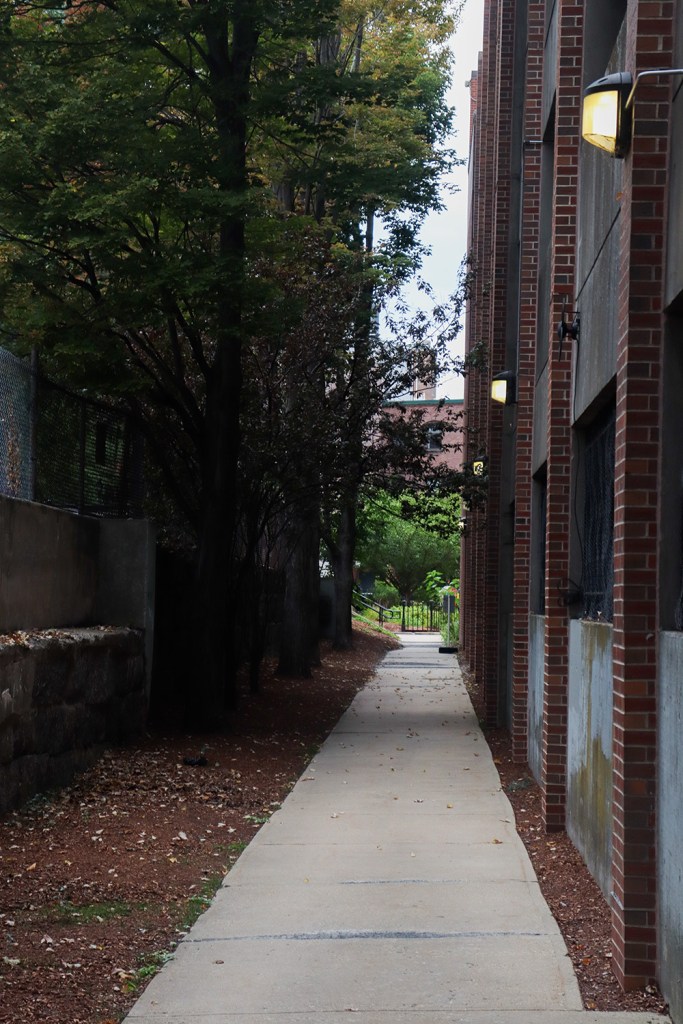
The walk along the canal ends at a brick wall, and after a narrow alley going north, the trail ends right in the middle of Lowell’s historic district that we’ve circled around since Mack Plaza.
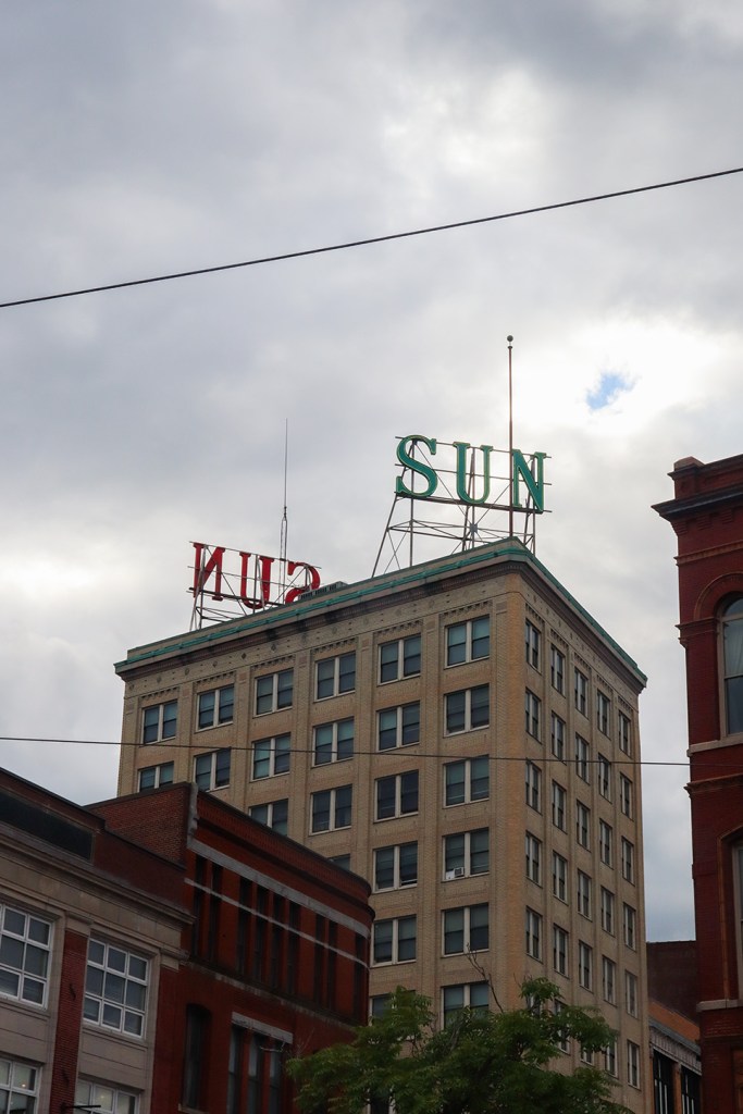
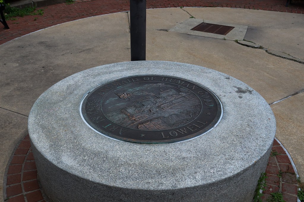
While the trail map and some of its walkability left something to be desired, the locations that the Merrimack Canal Walk visits along its route offer perhaps the most varied views of this post-industrial mill city. This is definitely one of the coolest ways to experience Lowell, and alongside the city’s Riverwalk and a few other trails around the Merrimack River, the city’s walkable routes can definitely offer a fun daytrip of both history and scenery. Definitely plan ahead though, and in the spirit of the city’s motto engraved at the end of our trail, be creative about it!
In our next post, we’ll be heading up north to New Hampshire to add another segment to one of our previously unfinished One Roads.
Written and Photographed by Rin Gately. Edited by Keith Libby.
 One Road
Leave a comment