Maine is well known for its natural wonders. It has a long and scenic coastline, a dense untouched forest across much of the north, and some of the tallest mountains in New England. But what isn’t talked about nearly as much is the sheer number of lakes across Maine. Though sources vary, Maine is undeniably in the top 10 US states in terms of its lake count. And for this trip, I was on a quest to see what is arguably Maine’s most visited lake for the first time: Sebago Lake.
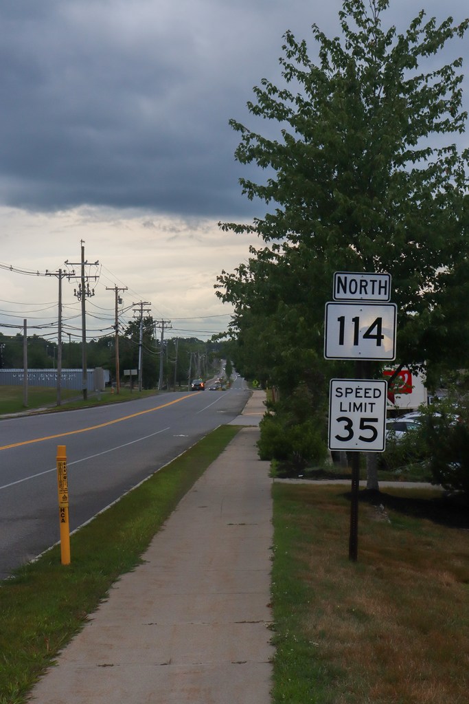
Maine Route 114 was my way of getting there, starting in the center of the lakes region and traveling down to the coast, right alongside Sebago’s western shore. It’s a fairly hidden route, branching off from a national highway route and heading through relatively small communities. Even when it eventually hits the Portland metro area, the route mostly skirts around the very urban parts.
I drove this road pretty much smack dab at the height of tourist season at the end of July. But, through a combination of afternoon storms in the forecast and the fact that ME 114 is comprised of 35 miles of mostly backroads, I hoped to beat the traffic as best as I could. Let’s see how I did!
This is my journey down ME Route 114.
Naples
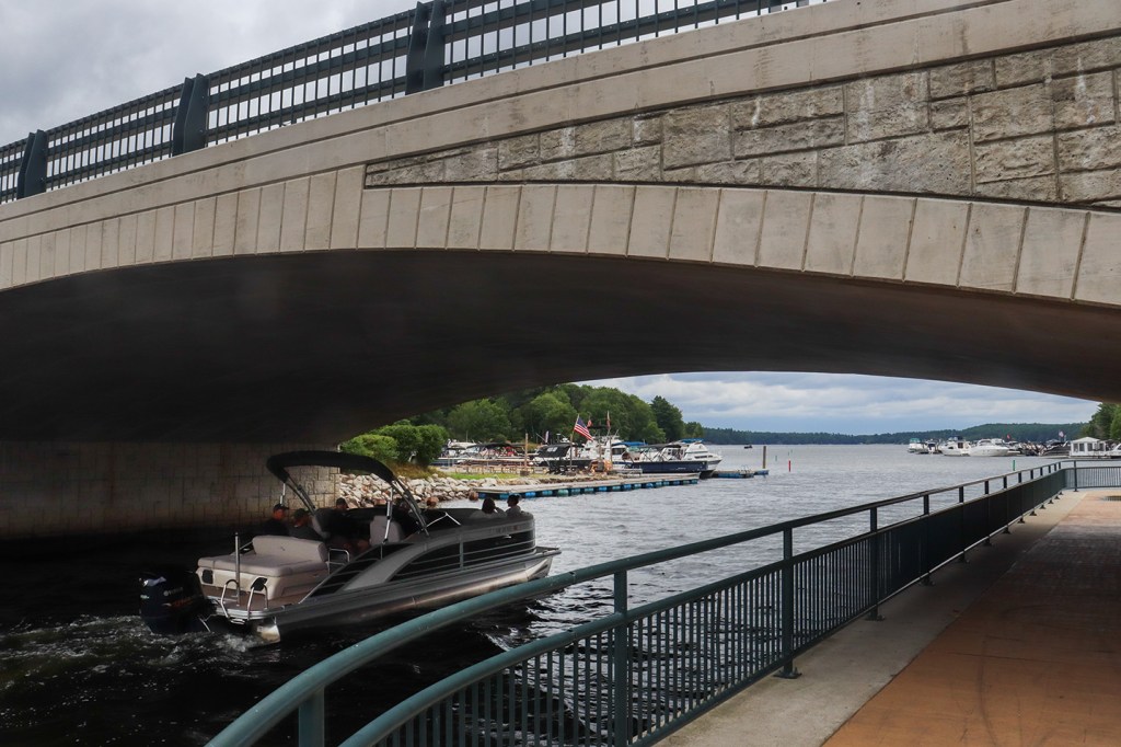
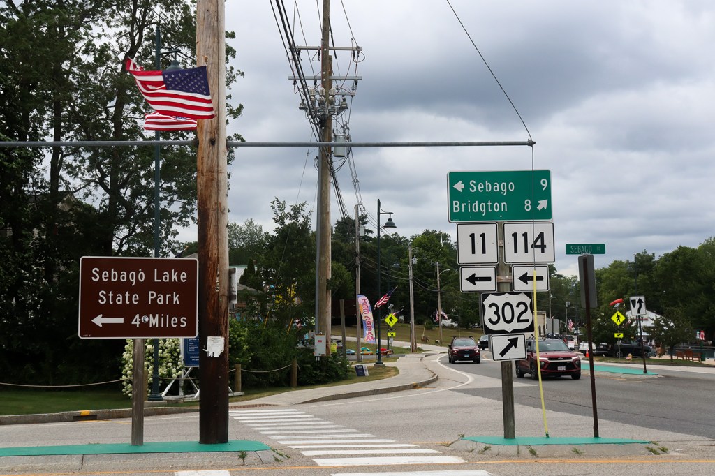
Our journey begins at a popular lakeside beach, but this isn’t one on Sebago Lake. Route 114 starts from the town of Naples, intersecting the cross-state US-302 right on the Naples Causeway by Long Lake.
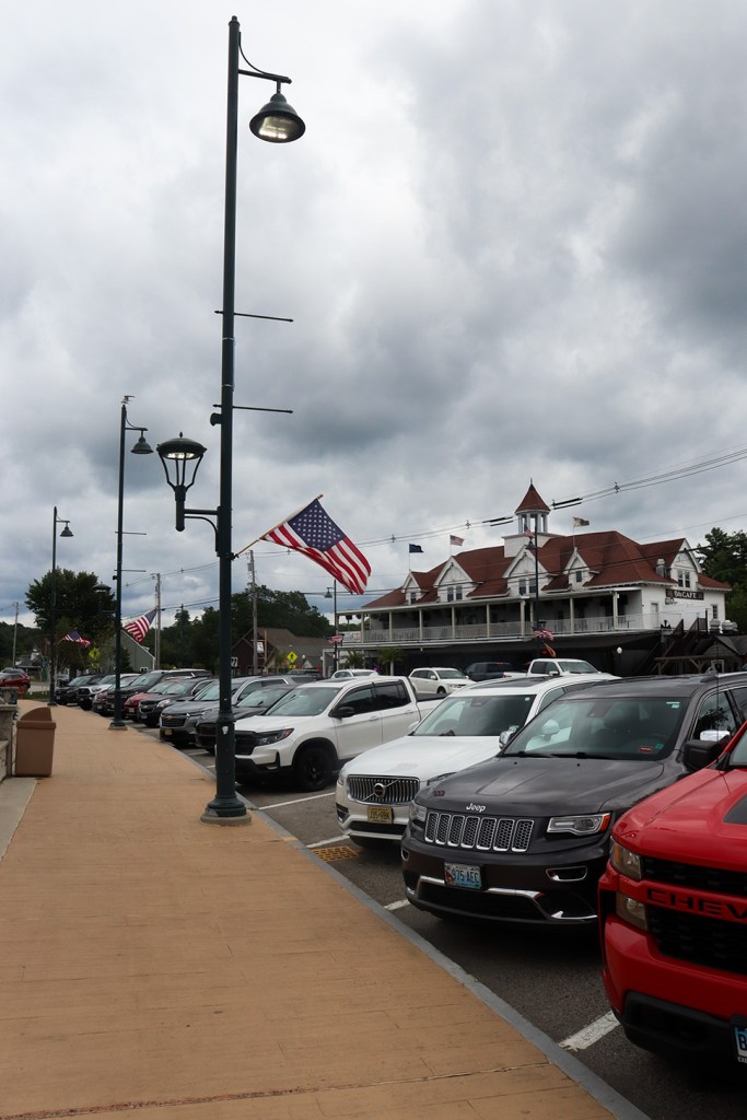
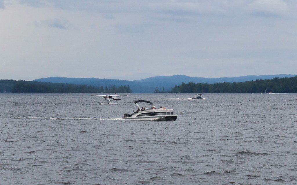
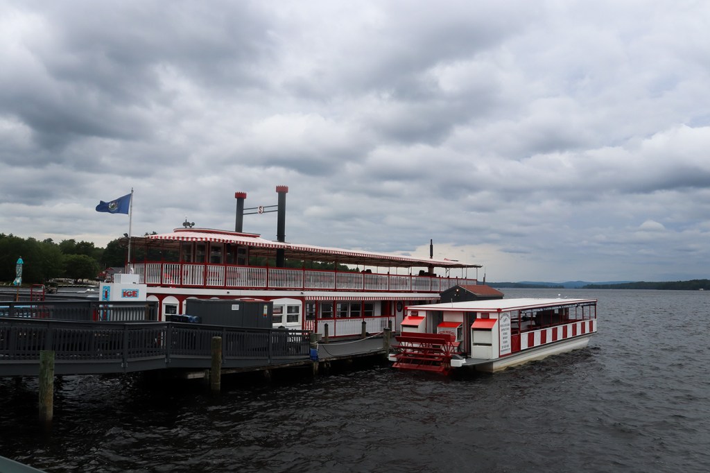
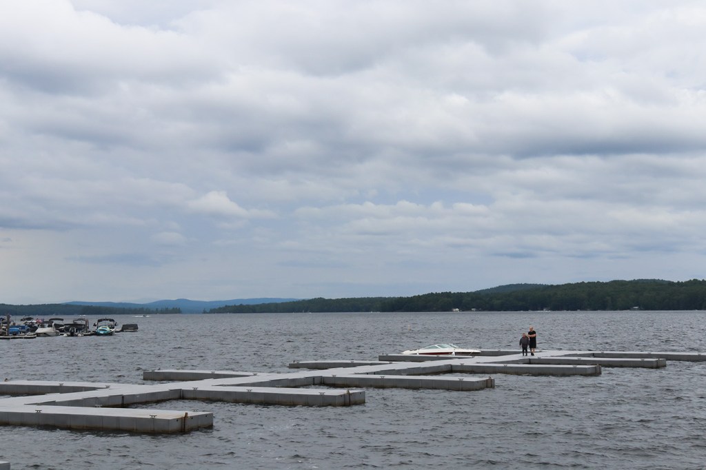
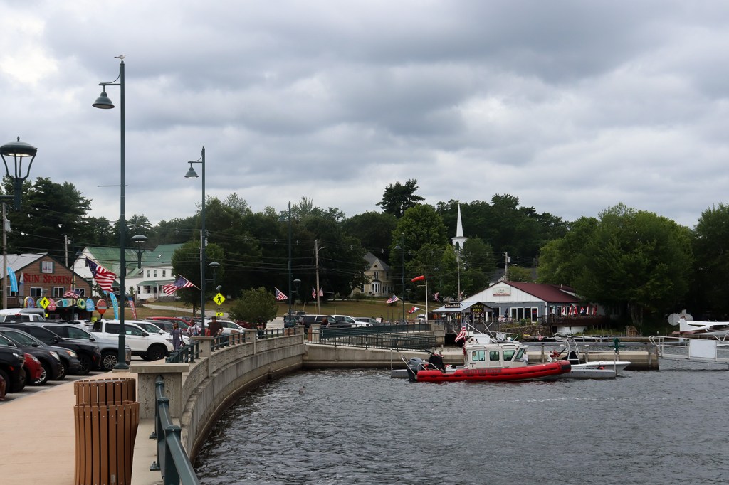
Even with the weather being cloudy and threatening showers at any minute, the causeway was fairly packed with tourists enjoying the attractions both on and off land. Though the causeway only extends about a third of a mile, there’s everything from mini golf to kayak rentals to seaplane rides for folks to enjoy. There’s even a replica Mississippi paddleboat here in the Songo River Queen II, one of only a few steamboats still in use in Maine (we’ve previously spotted Greenville’s steamship “Katadhin” on Route 6 as well!).
While it is quite crowded here in Naples, this causeway is also on a very heavily-traveled throughway. One of the beauties of Route 114 is that it’s much more of a backroad comparatively, so as we move south towards Sebago, there will be far fewer travelers and yet similarly impressive views.

Trickey Pond
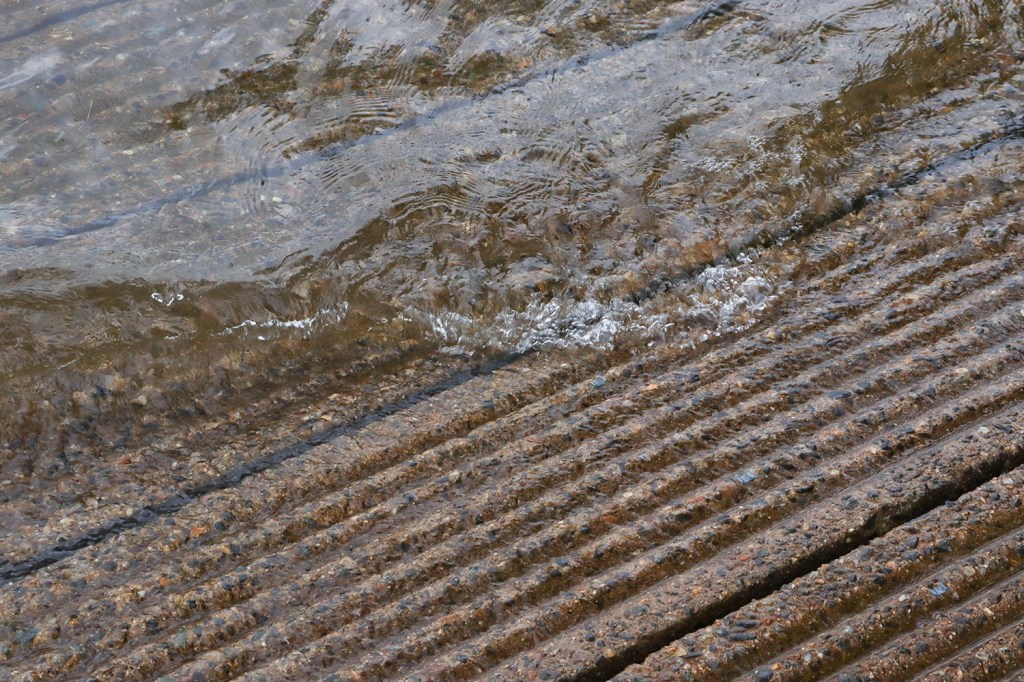
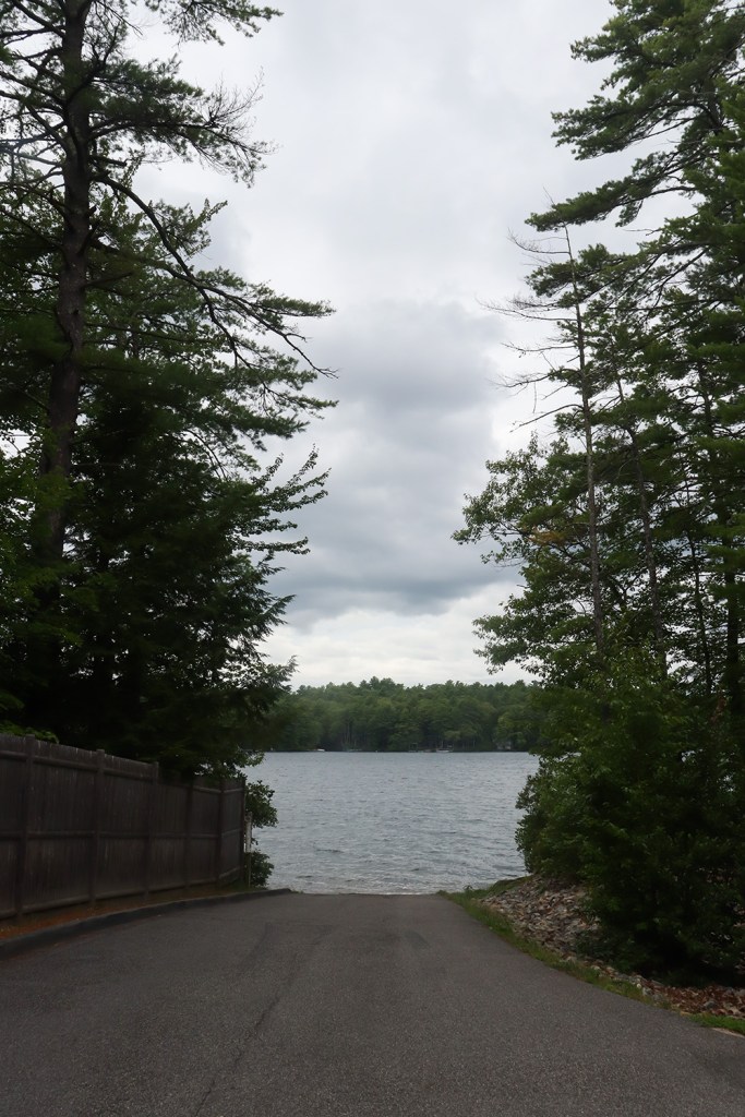
There’s one more stop here in town, and that’s the small boat launch at Trickey Pond. It’s down a small side road in the woods of South Naples, and contrary to our previous stop, there was no one here at the launch.
Sebago
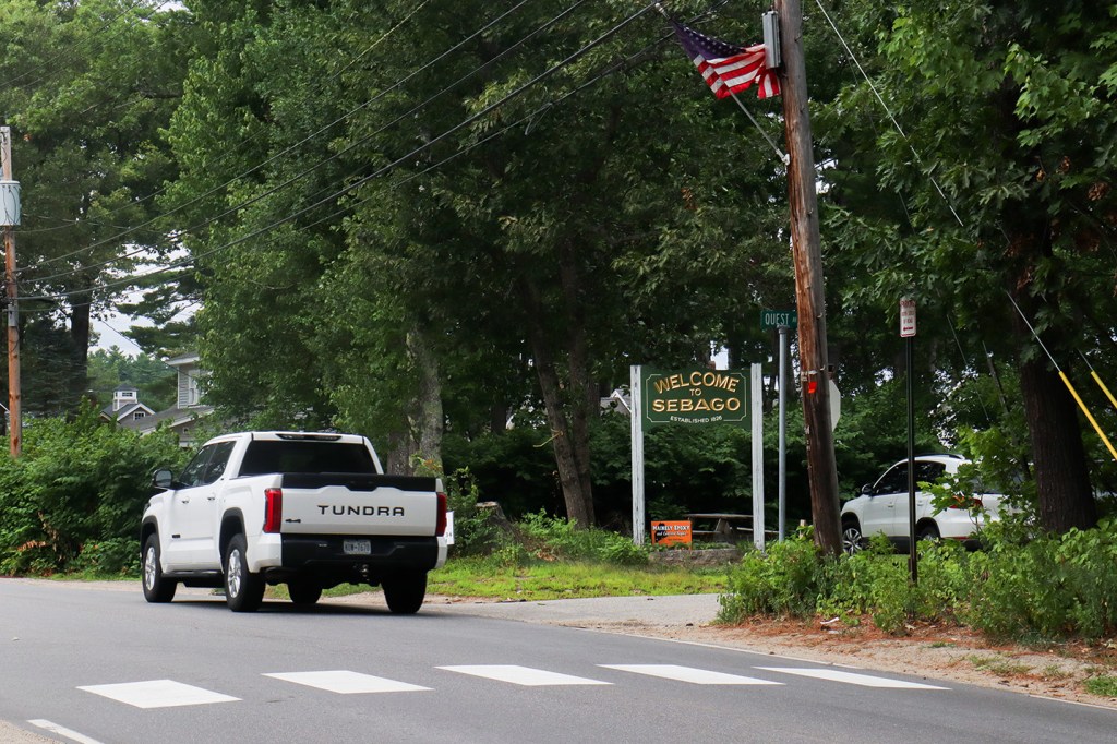
We’ve finally made it to the main attraction of this trip: Sebago Lake. The road through the town of Sebago itself was beautiful, winding beside several beaches overlooking the water to our east. There’s one problem though – Sebago has a severe lack of parking!
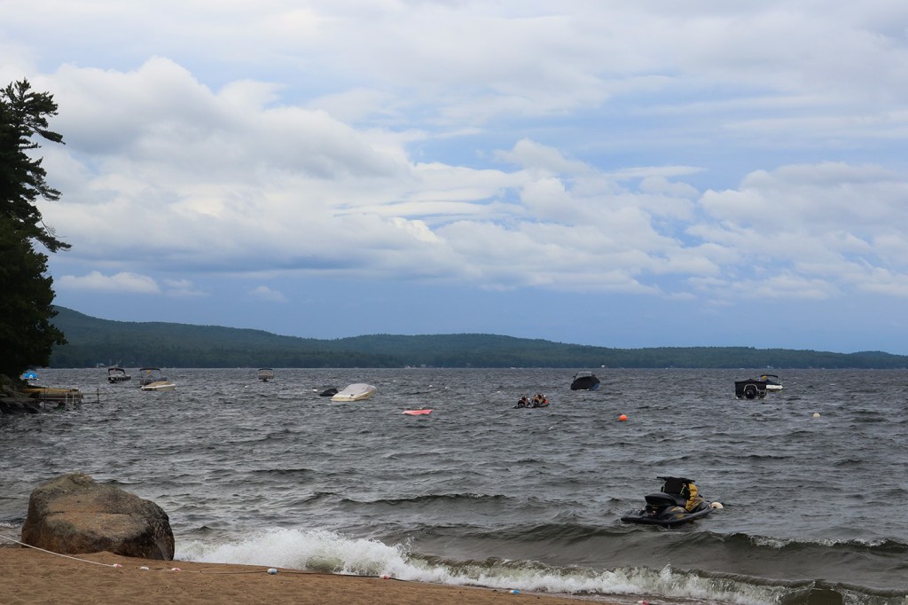
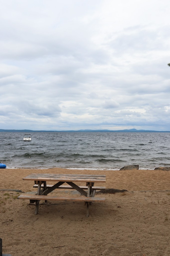
While I couldn’t get any pictures of the views at North Sebago or East Sebago, I was finally able to find parking at a campsite just across the border in Standish. In fitting with the lack of parking, this section of Long Beach was private as well. That didn’t stop me from taking pictures from the side of the road, safely outside of the fenced-off section.
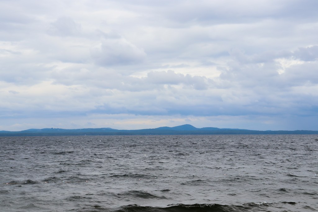
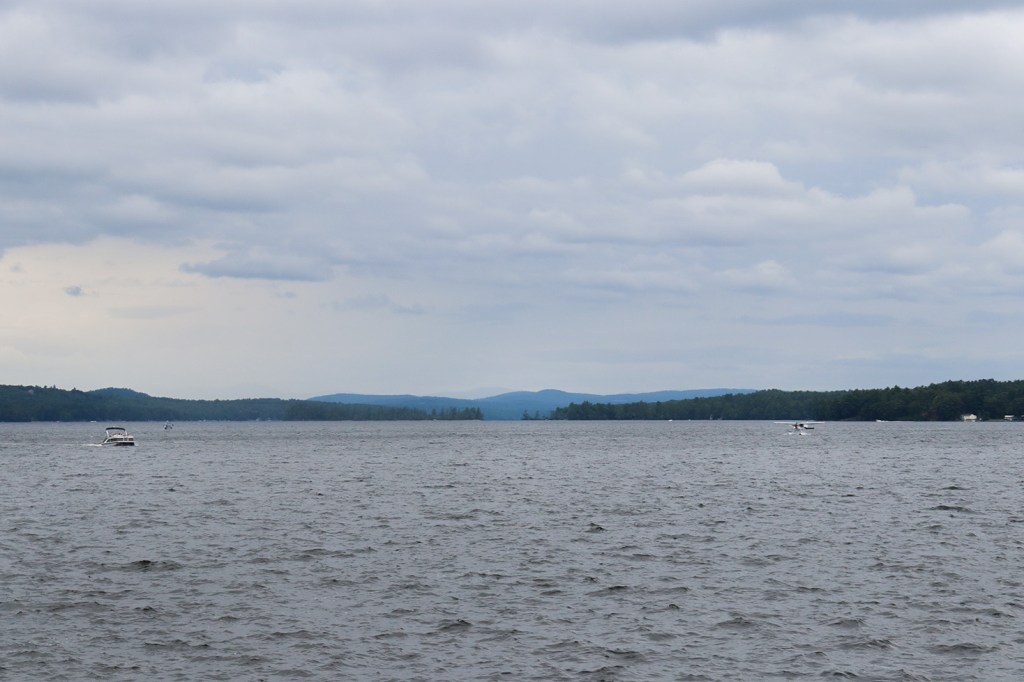
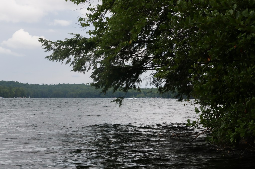
Sebago Lake is seriously huge by New England standards. This view is almost double the width of Lake Winnipesaukee’s widest clear section, and unlike something like Moosehead Lake, there’s no islands to interrupt the water. With the weather agitating the waves as well, I wouldn’t be surprised if someone were to tell me these pictures were taken from a large saltwater bay.
(Editor’s Note: It makes sense that locals call it the Inland Ocean!)
Evergreen Pond
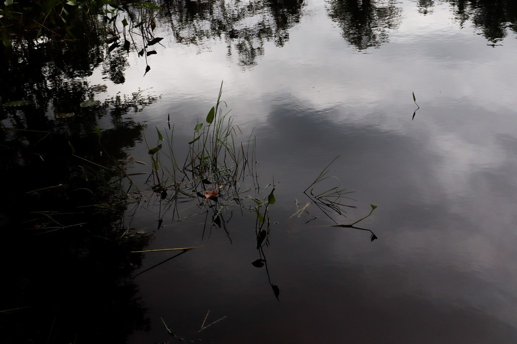
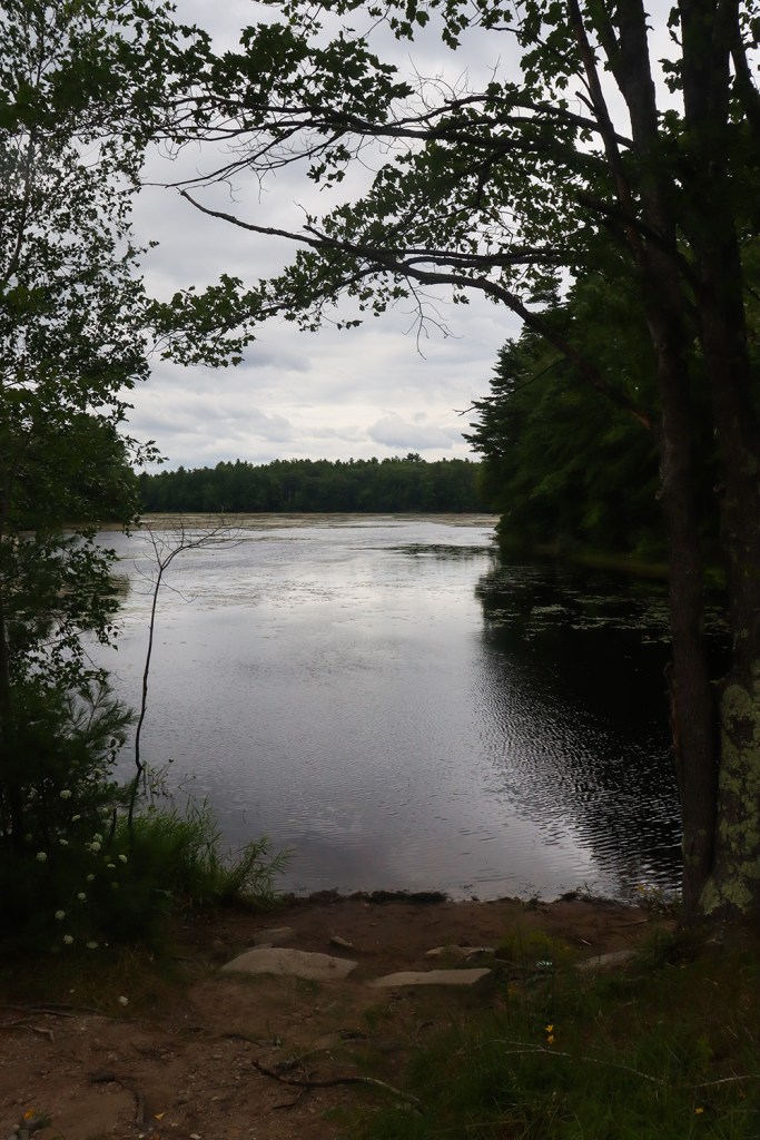
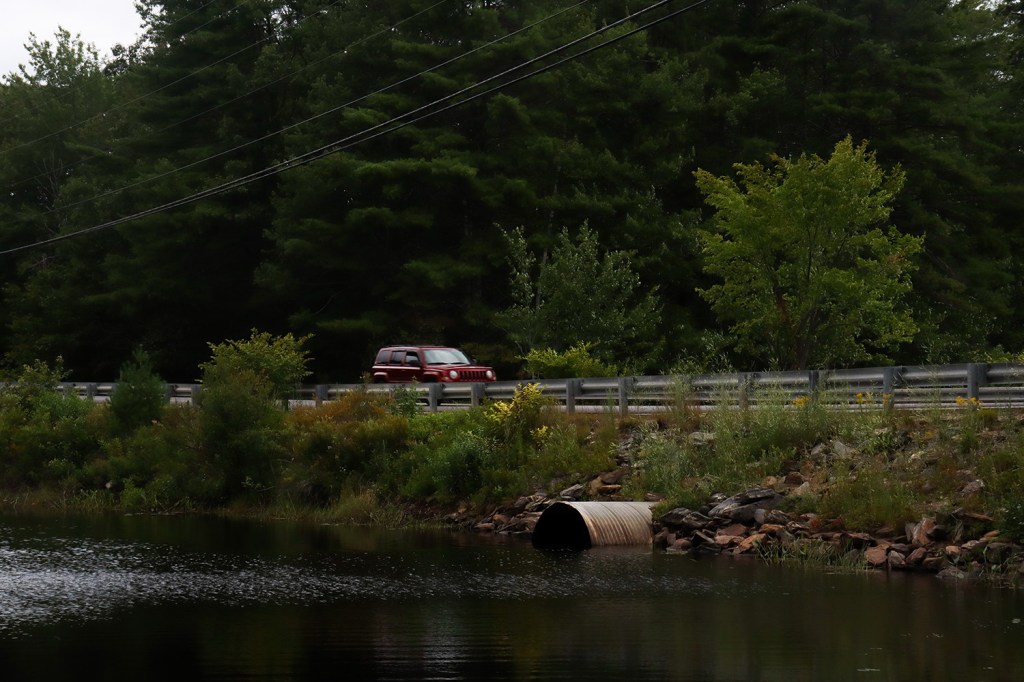
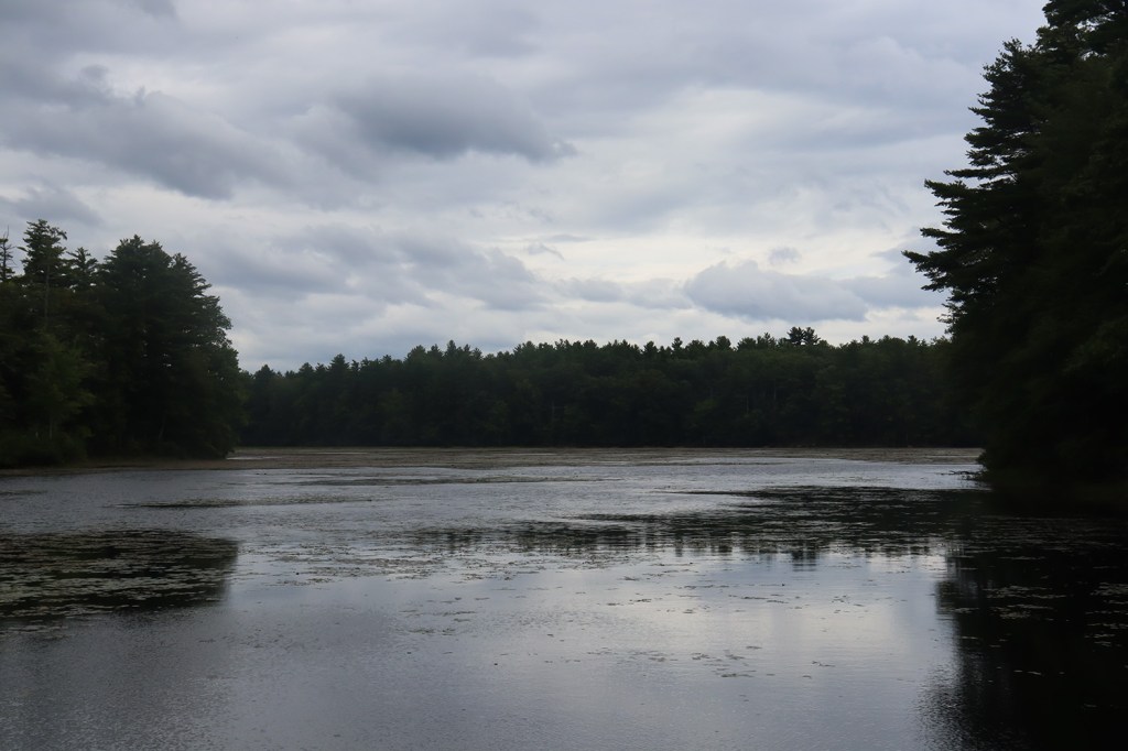
At the southern end of the lake, on the other side of Standish, There’s one more little pulloff to take a look at before we leave Sebago’s shores. Evergreen Pond is a small inlet off of Sebago’s Lower Bay, far back from the miles-long views of the water. It’s just a quiet, tiny pond, but I found it so interesting that this too is part of the massive reservoir we’ve been following for nearly 15 miles.
Fort Hill Road
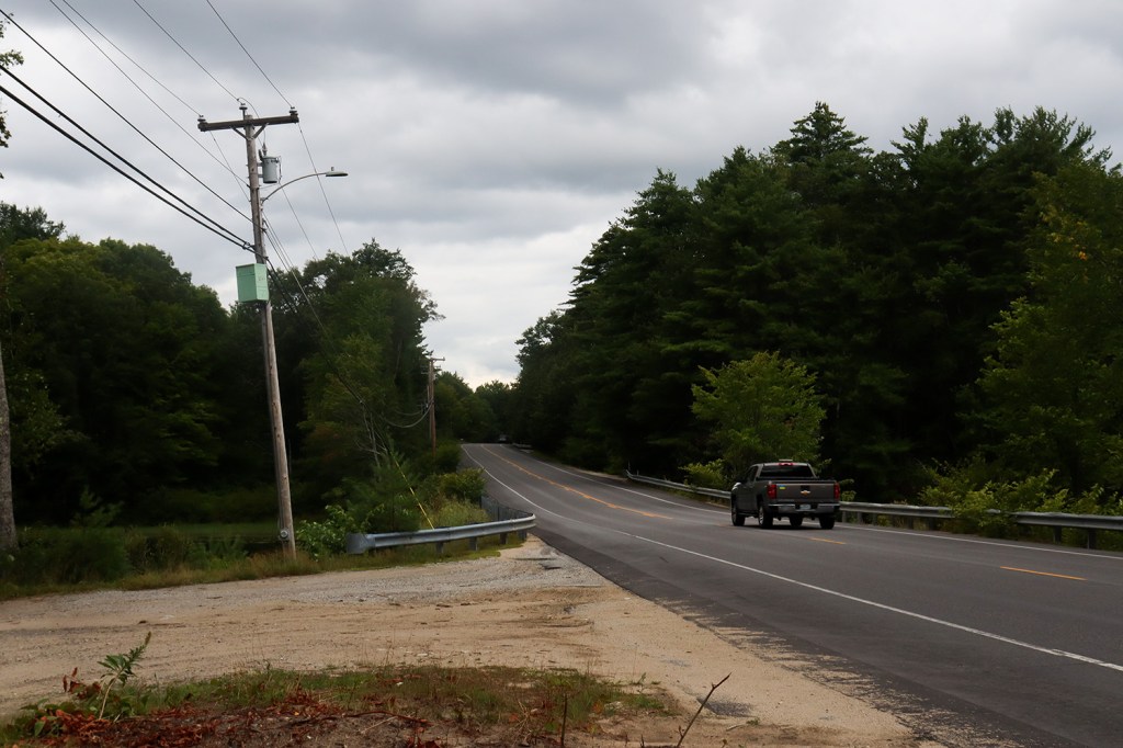
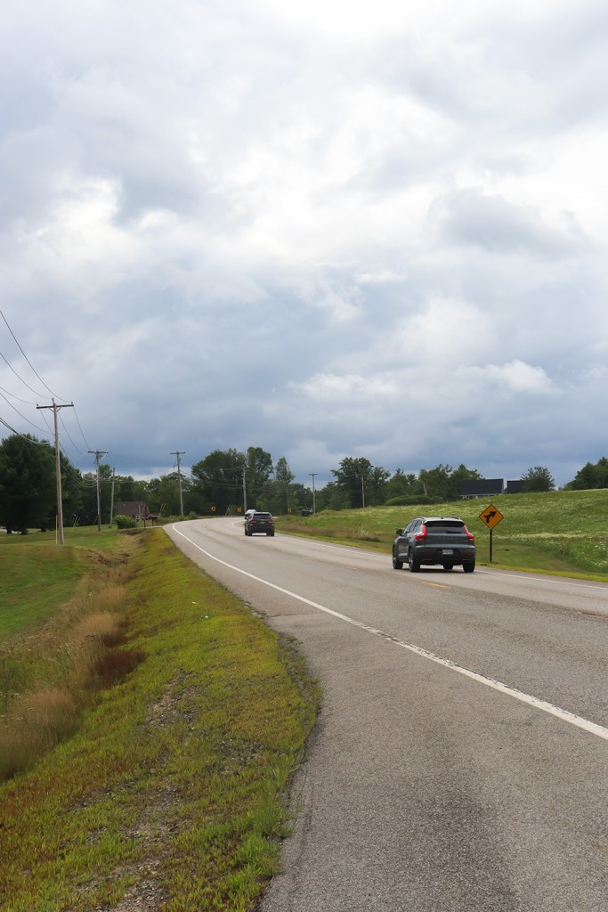
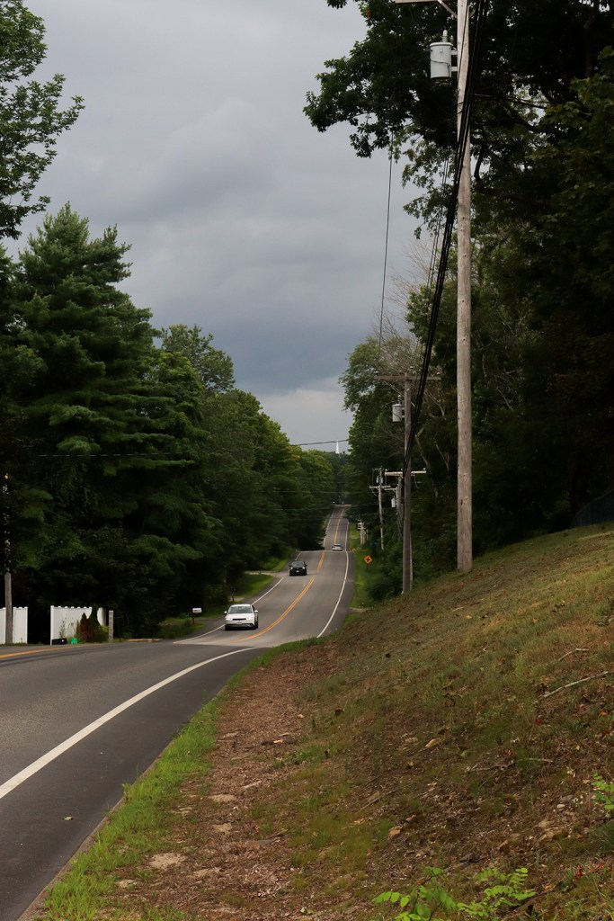
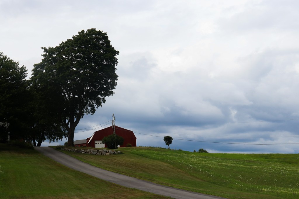
Across the border from Standish, Route 114 opens up into swaths of open fields and farmland marking the outskirts of Greater Portland. It’s surprisingly hilly here, and as such, these roads are very fun to drive.
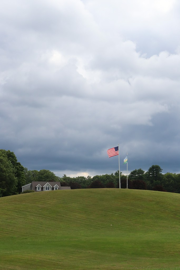
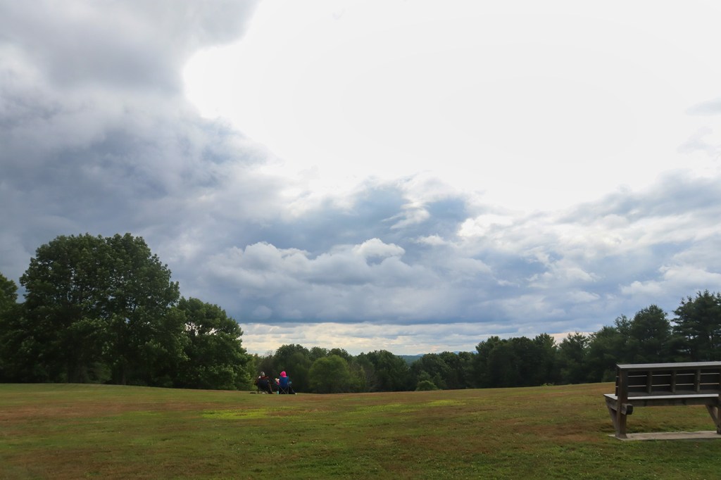
On top of one of these hills lies Fort Hill Park, just outside of the downtown of Gorham. With the sun getting lower in the clouds, this was the perfect time to start getting my obligatory sky shots of the trip!
Gorham
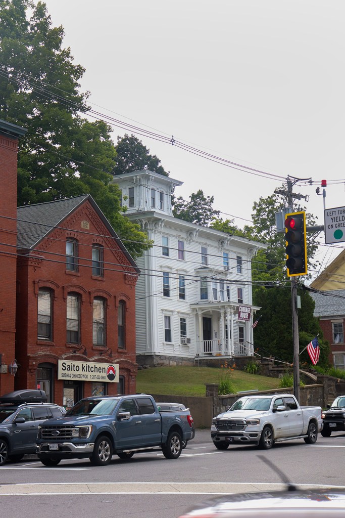
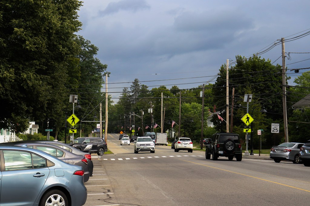
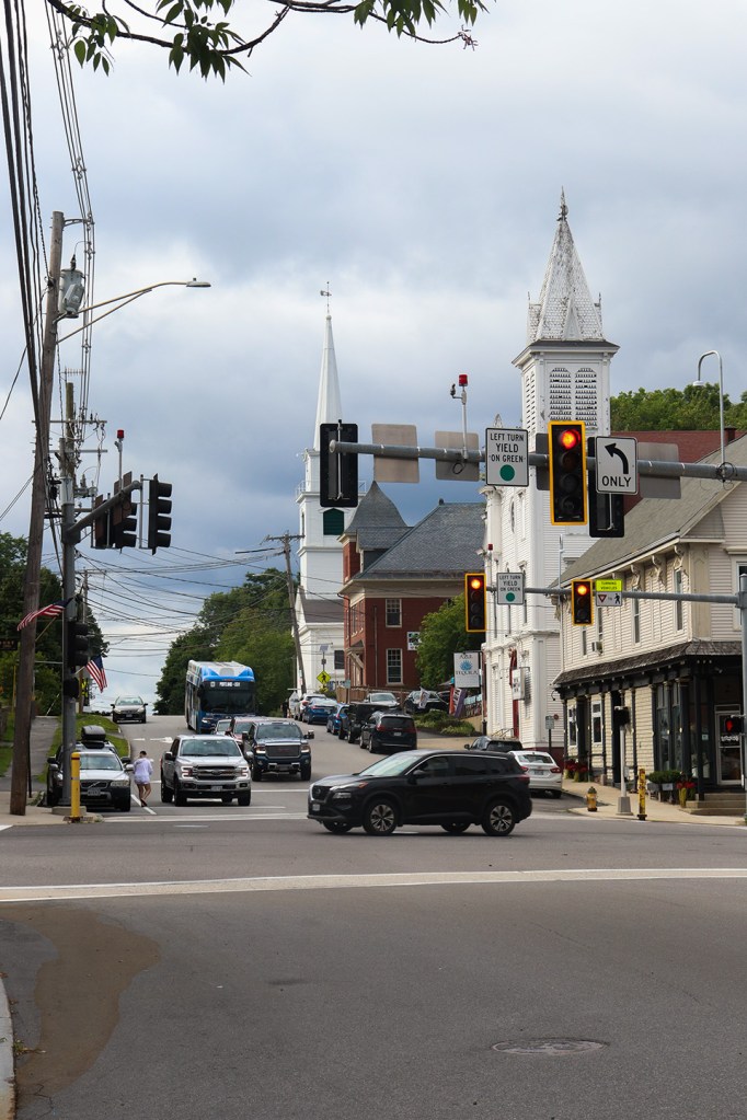
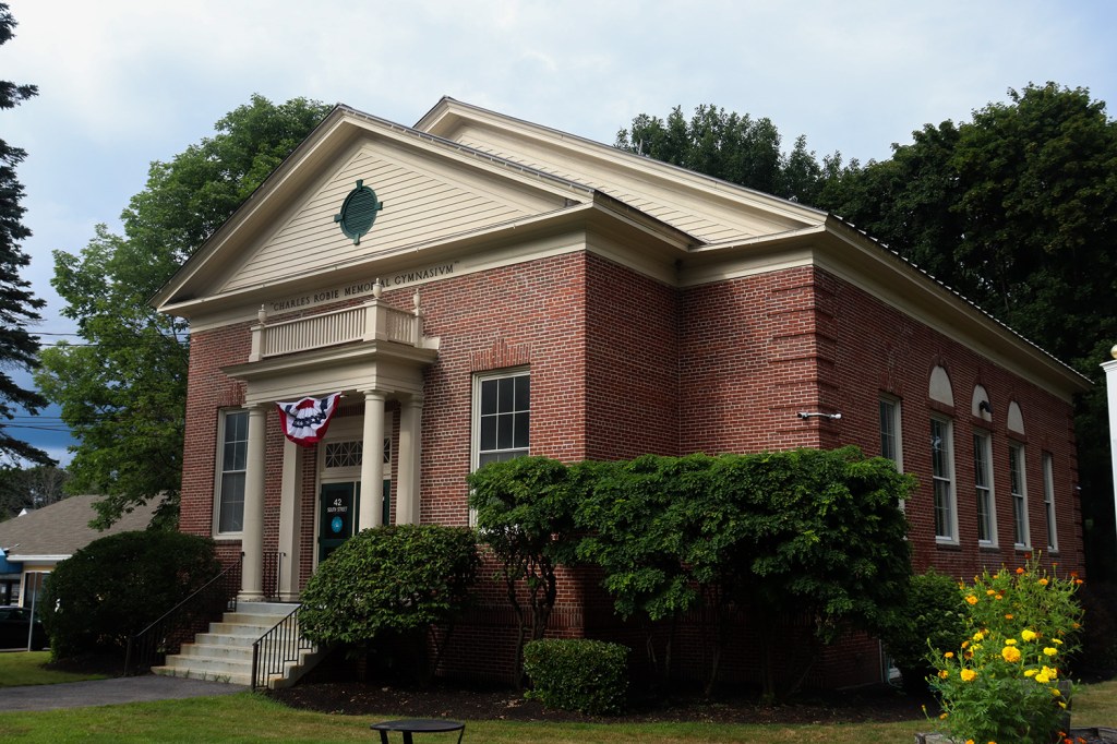
Gorham marks the one and only downtown area the road goes through, and it’s a very pretty one. It’s certainly a larger town than anything we saw last week in Connecticut, with a population close to 20,000, but it still feels like the type of small New England town we love on this blog, just on a larger scale.
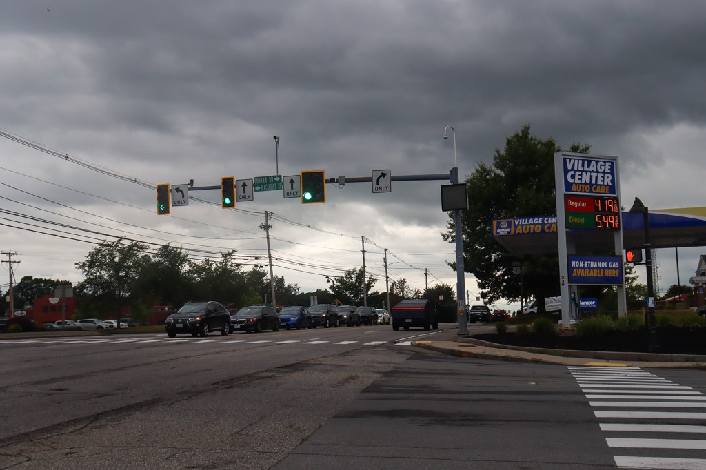
We’re finally getting back into urban territory here (and GPMetro coverage, shoutout to the Husky Line bus), and the traffic is starting to get a little heavy again seeing as it’s getting close to rush hour. Luckily for us, most of it is going north, so the southbound road we’re taking is mostly staying clear.
Scarborough
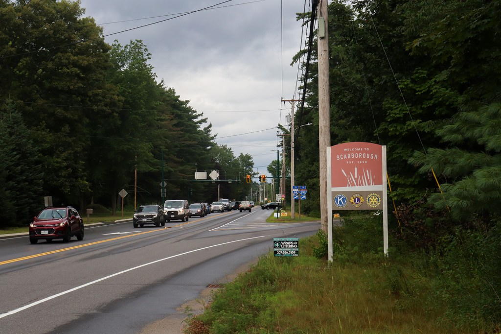
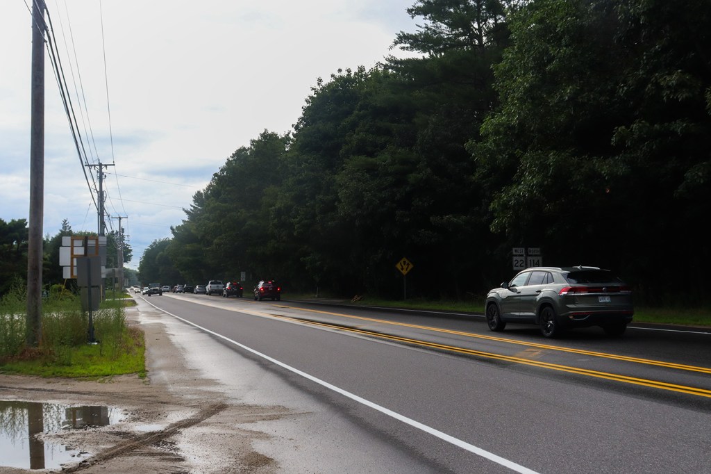
And just as the rain starts to fall, we’ve reached the end of Route 114 in another place known for its water: Scarborough. While we will unfortunately end 3 miles shy of the ocean, we’ve certainly collected plenty of beautiful shoreline views from its freshwater counterparts today.
Route 114 is by far one of the best ways to experience the Sebago region by car, as long as you’re okay with a lack of parking at times. There’s virtually no traffic since most travelers use the national route to the north, and if you’re coming from a city like Portland or Boston, the southern end of the road is easily accessible from US-1 and Interstate 95. If you’re looking for a daytrip in the area, this is an easy recommendation!
In our next post, we’re headed back to the city and try our best to follow a mazelike trail of history across one of Massachusetts’ most vibrant downtowns.
Written and Photographed by Rin Gately. Edited by Keith Libby.


Leave a Reply