It’s finally time – we’ve made it to Connecticut! For many, this is unfortunately a state without too much to see. It’s that part of the Northeast Corridor that’s just dense cities and empty highways, connecting New York to Boston via several interstates. Breaking away from the throughways though reveals a state with beautiful coastlines, unique cityscapes and some incredible valley views, the latter of which is particularly present in Connecticut’s Northwest Hills.
CT Route 20 acts as the highway’s connection to the eastern half of this region, going from the outskirts of Hartford’s and Springfield’s metro areas into the forests and farm country surrounding the Farmington River Valley. It starts as a sort of extension to the interstate, but opens up into a traditional state highway soon enough. Alongside going through smaller and smaller towns, the route also had less and less traffic as we went west.
I drove this road in late July, alongside my friend Kat who’s a local to this region. She was a huge help in pointing out scenic views and had a lot of info about the culture of these towns, so I’m really happy I got a chance to have her on! We took our time with this one, meandering our way across just 31 miles of road. It was a great time taking in the region, and we got to have a few side adventures along the way!
This is our journey down CT Route 20.
Windsor/Windsor Locks
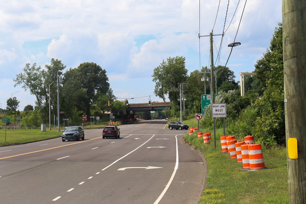
Route 20 immediately began as a bit of a challenge to photograph. The road begins with three miles or so of expressway, splitting off of the nearby Interstate 91 to connect drivers directly to Bradley International Airport. When I was doing research before the trip, it appeared that the “Olds and Whipple Pond Open Space” listed on Google Maps would be a good place to photograph the beginning of the route. Of course, actually going there proved to be difficult as this park has no entrances and isn’t actually a park.
So instead, this One Road will begin with a view from the entrance of the Amazon Fulfillment Center. It’s not my favorite place to start a trip, but hey, at least I can say we’re close to the beginning of the route.
East Granby
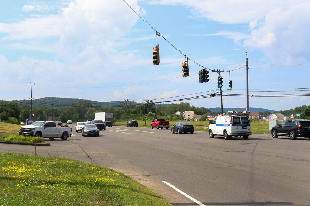
Once the expressway turns back into a normal road, our journey can really begin. We stopped in the first parking lot we could find to take a look west at our destination.
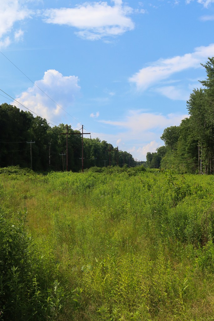
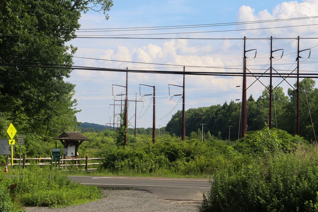
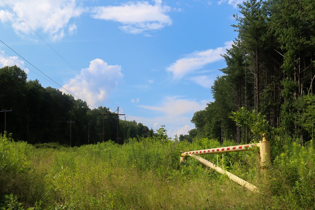
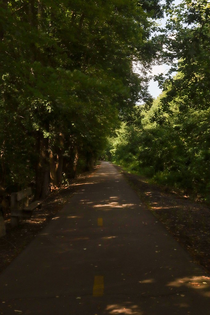
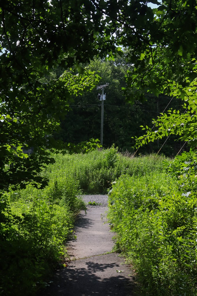
As we continued through the town’s center and towards Granby proper, we stopped once again at the first real park of the trip. The Newgate Wildlife Management Area caught me very off-guard, as it’s a system of nature trails through the intersection of two power line corridors. That’s a really unique concept! Unfortunately, the trails themselves were very overgrown when I was there (which apparently isn’t new, according to a fellow blog that covered this park back in 2019). But at least the Farmington Canal Heritage Trail, which runs nearby, had plenty of cyclists.
It seems like this park is mostly a draw for bowhunters, but it’s too bad that the trails aren’t maintained well enough for everyone to enjoy the area. Nevertheless, seeing a meadow stretch far through the woods is always a pretty neat view.
Granby
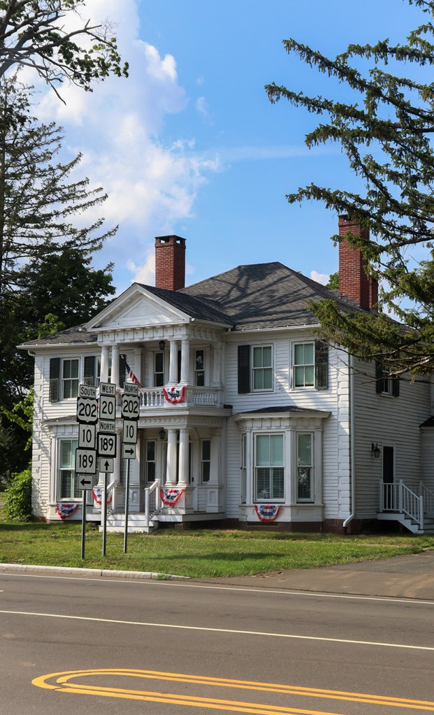
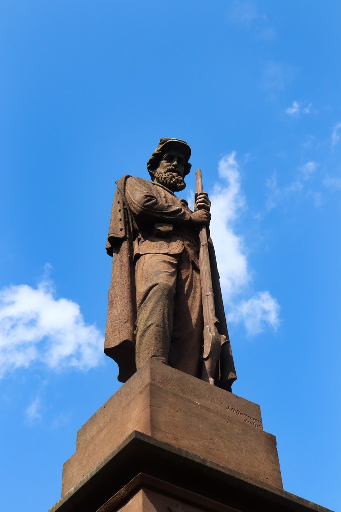
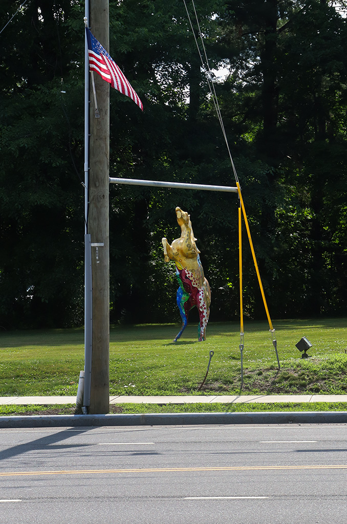
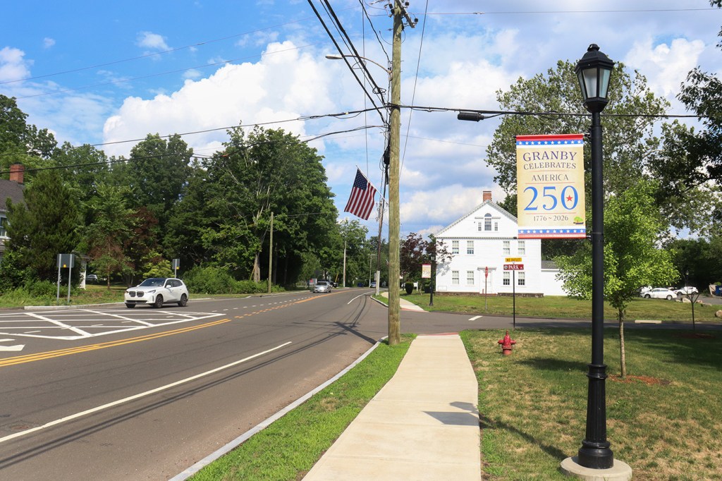
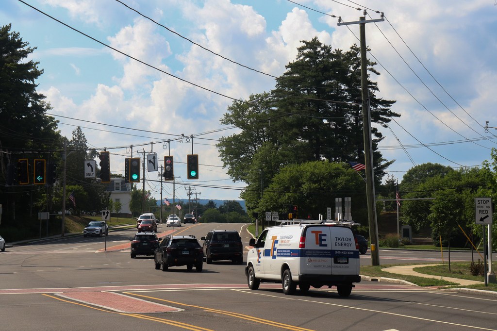
Not counting Windsor (since we didn’t get to see much of it), Granby is the largest town Route 20 runs through. But even with its population cresting 10,000, it still maintains the quintessential “small town New England” vibes we’ve become so familiar with on this blog.
Granby also marks Route 20’s intersection with US-202, a route we’ve become very familiar with from a few of our previous One Roads. It’s one of the longest roads in New England, running through four states, so perhaps someday we’ll have to cover it fully!
Hartland
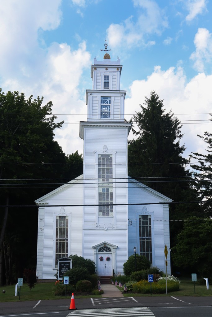
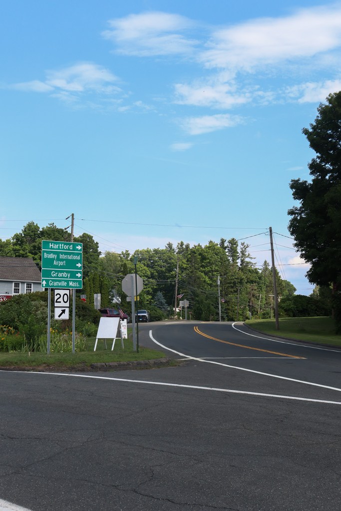
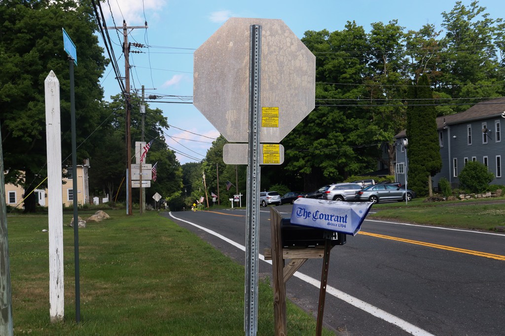
Now we’re fully into the Northwest Hills region, and it’s getting a lot more rural. Hartland has about a tenth of the population that Granby does, and feels a lot closer to the sort of small towns we’ve seen in central and northern Maine. It has a town hall, volunteer fire department, church, and a single restaurant in the town square at the intersection of Routes 20 and 179. This quaint little town does have a great geographic story though, as it’s the gateway to the beautiful Tunxis State Forest and home to our first elevation gains of the trip.
While we’re here, I’d also like to give a huge shoutout to the Hartland Library, a small regional library serving Hartland and its southern neighbor Barkhamstead. We stopped in on a whim, and this library had a small but very well-maintained section of historical documents that we spent 20-30 minutes just reading through. The librarian was incredibly friendly as well, and it seemed like she was happy to see folks enjoying the resource! If you’re in the area and interested in seeing some of its history, definitely take a look here. And in general, support your local libraries and historical societies!
Tunxis State Forest
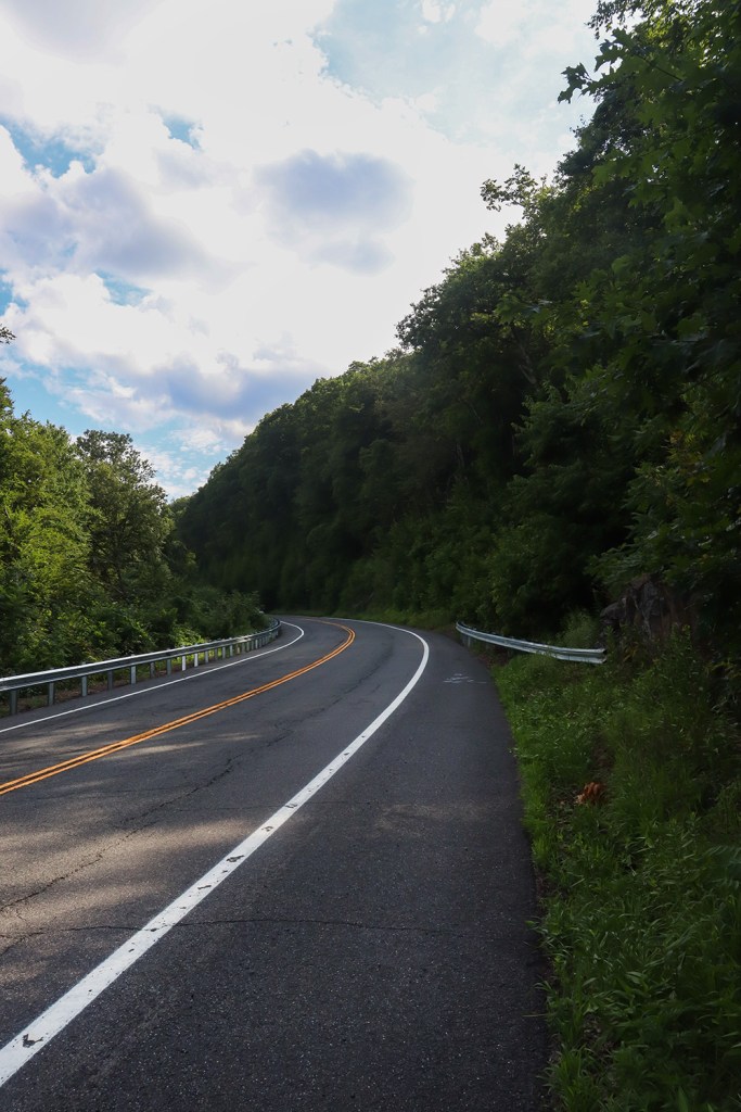
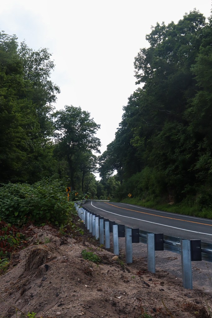
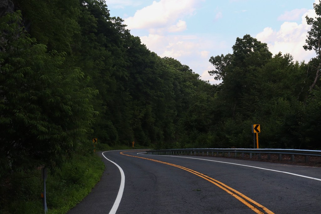
Between Hartland proper and West Hartland, Route 20 takes a seven-or-so mile diversion north through the valley housing Barkhamstead Reservoir, the second-largest reservoir in Connecticut behind Candlewood Lake north of Danbury. This stretch of road is completely devoid of houses and winds up and around Morrison Hill, making for a really fun drive with around 600ft of elevation change.
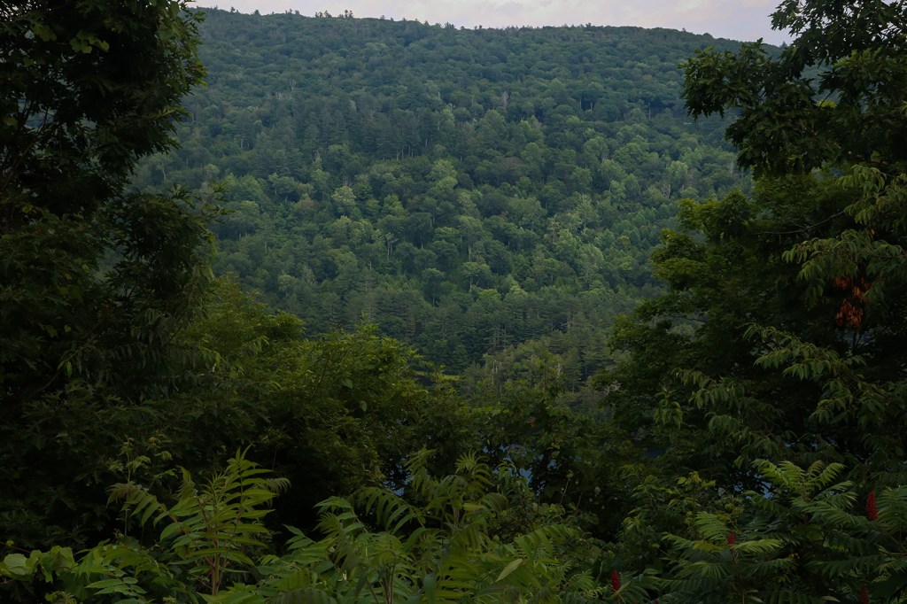
Being on the ridges of the valley, the views up here are incredible. You can see right across the valley on either side, and there’s so little traffic coming through here that there’s times where it literally turns silent (save for wind and the occasional bird chirp). Unfortunately, it was a little hard to see the reservoir from the road, but we’re going to blame that on the time of year rather than any fault of the park itself.
Outside of the Tunxis Trail, which is a fairly popular hiking route from Granville, Massachusetts to Southington, Connecticut, this park seems to be far less known than many others in the state. It’s a fun drive though, and seems like it has a pretty thorough trail network. I’d definitely love to come back here to hike around sometime!
Riverton
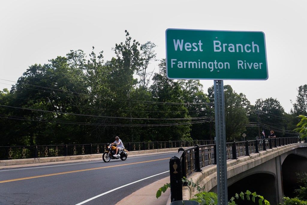
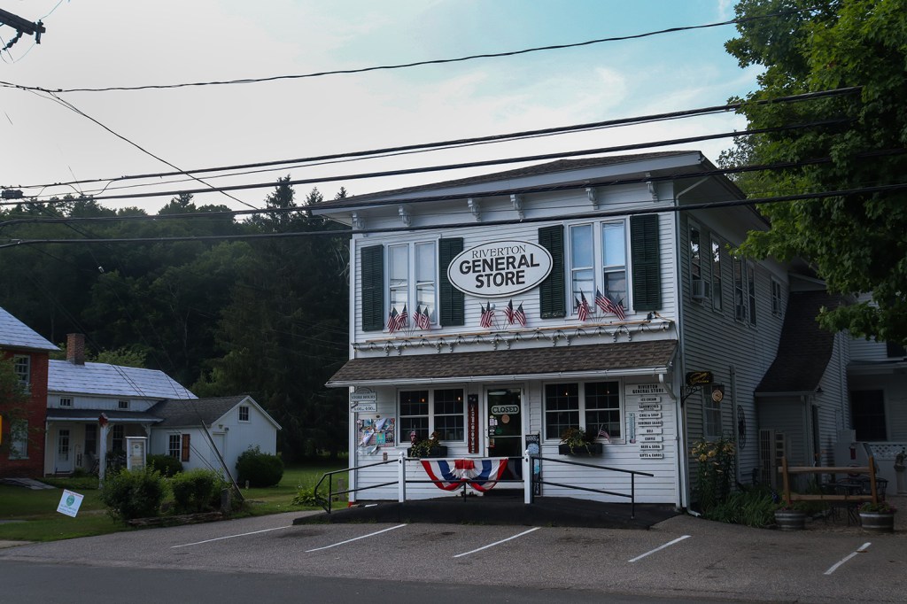
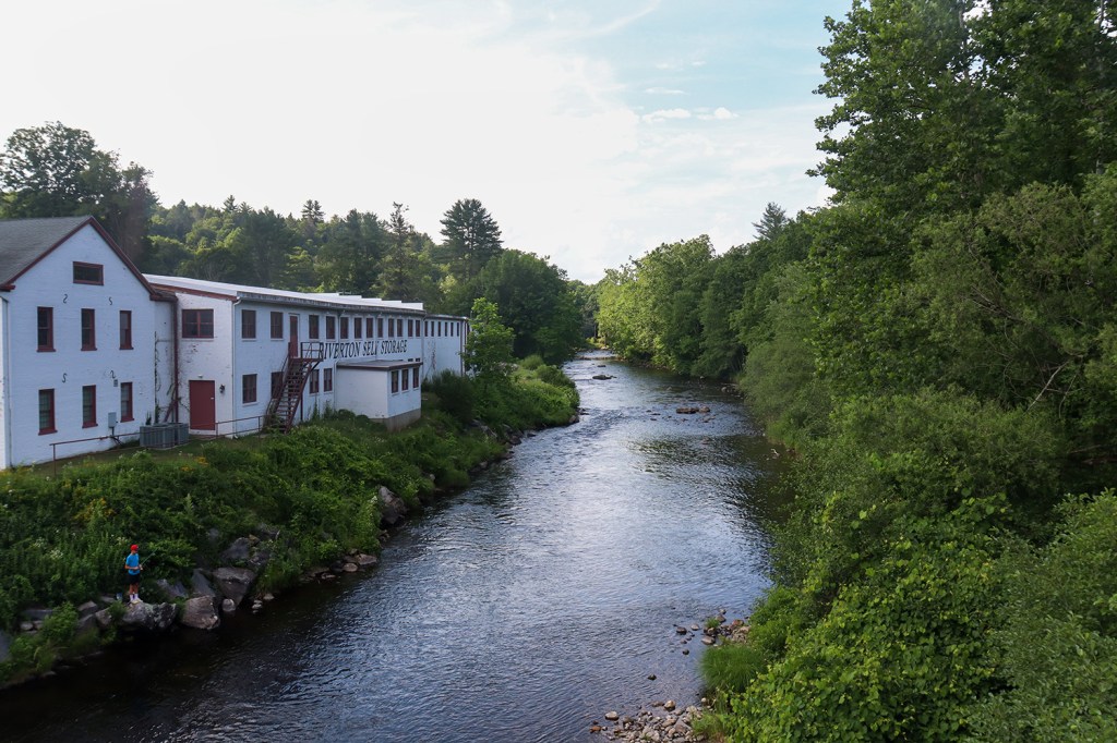
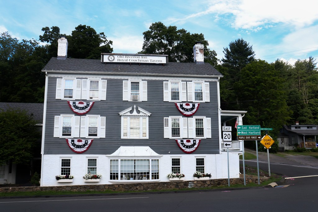
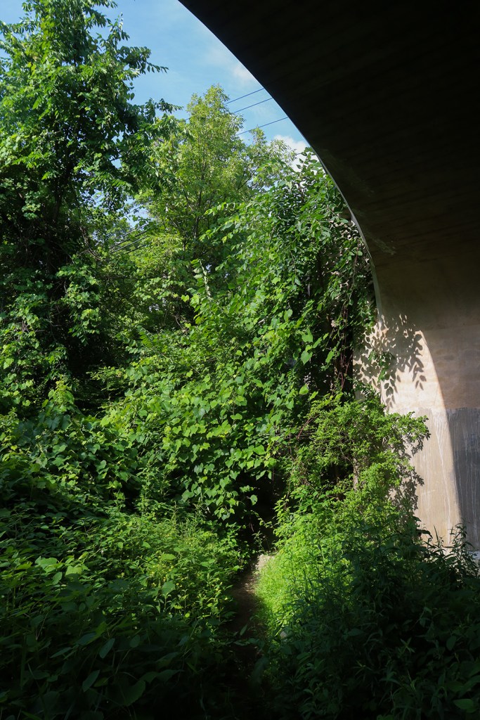
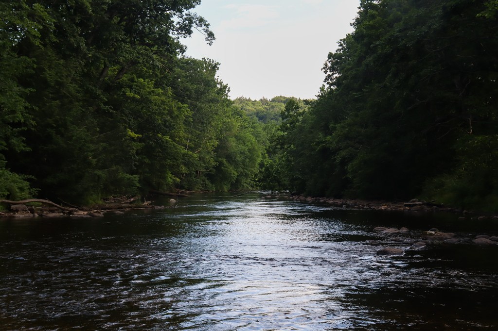
Riverton is a village in the northwest corner of Barkhamstead, and this is definitely a community that lives up to its name. There is, in fact, a river in town!
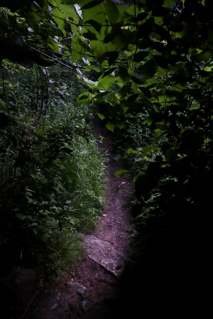
This river is very neat though, as the bridge Route 20 runs across is a really ornate archway that feels very well-kept. And to make it even better, there’s a small (albeit pretty sketchy) stone stairway down from the road right to the riverbank. This seems like a great little fishing spot, as well as a really neat little bit of almost-urbexing? I don’t know if I’d call this village particularly “urban,” but it’s certainly very charming. And any place that offers a little adventure like this gets an A+ in my book!
Winchester
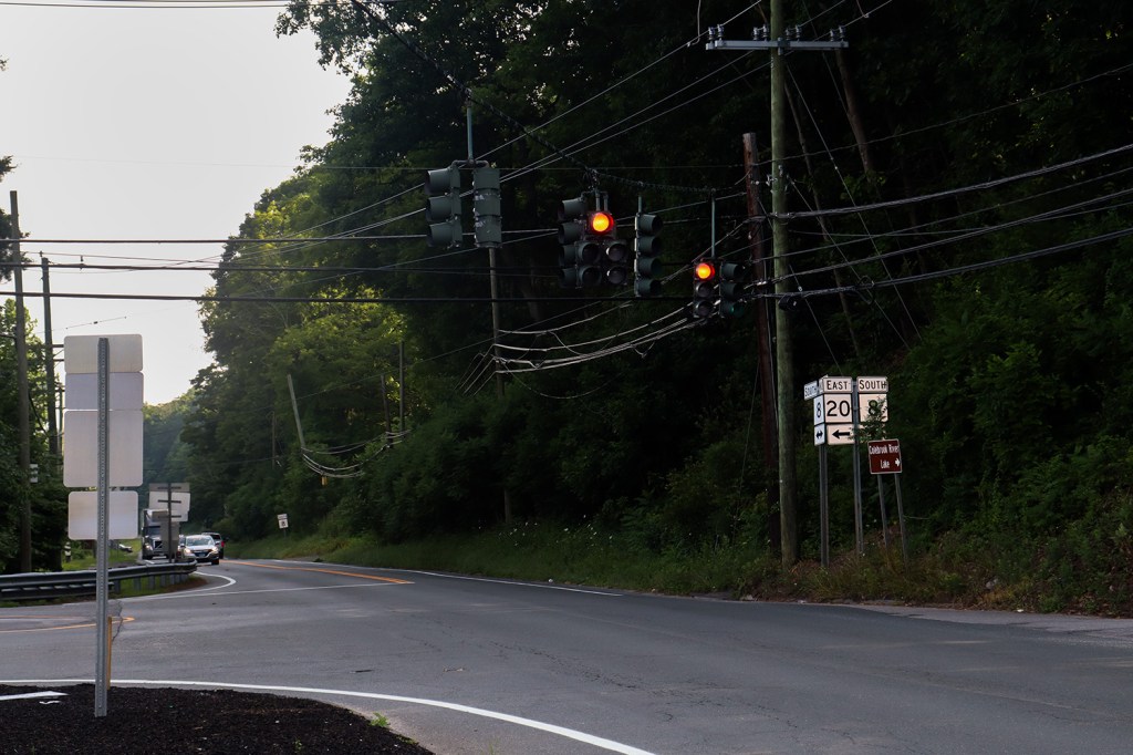
Route 20 ends just two miles past Riverton, in the town of Winchester. Its terminus brings us right up to CT Route 8, connecting this region with virtually the entirety of western Connecticut.
But wait! If you were missing my usual nerd-out session about weird geographic anomalies in this post, there’s one right here at the end! This terminus sits at the northern border of Winsted, a medium-sized city of around 7,000 people. Except, Winsted technically isn’t a city – it’s a census-designated place within the greater town of Winchester, which as a whole contains around 10,000 people. Except again, it technically IS a city recognized by the state of Connecticut, just not legally separate from Winchester since around the 1970s due to the vague fact that Winsted “does not maintain a separate, active existence from the town of Winchester.”
This is a seriously confusing status, and to make things even more difficult, Wikipedia is seemingly the most thorough source for this, and its citation isn’t even findable anymore! This is certainly a mystery I really want to figure out, so perhaps next time we’re here I’ll be able to give an update on this. Until then, feel free to comment your thoughts about it, or any additional sources you can find!
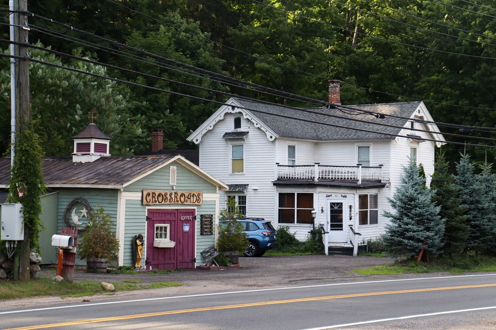
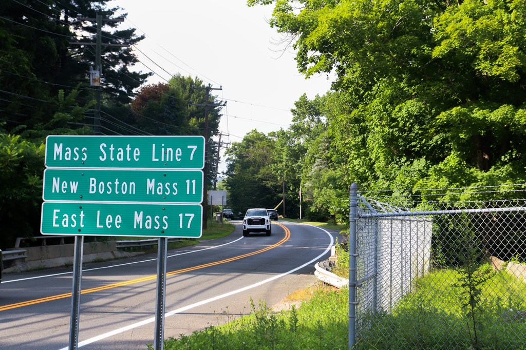
This was my first time spending a significant period of time in the Northwest Hills, and I can’t say enough good things about the region! I’ll absolutely come back here sometime (perhaps even for another One Road – Route 219 especially looks like a great take). This really gave me a lot more appreciation for Connecticut, and I promise that we’ll be exploring more of it here on One Road in the future!
(P.S. If you’re in the area, go grab dinner at Antonio’s Restaurant in Simsbury. Their interior decorating is one-of-a-kind, and they serve some AMAZING pizza to match!)
In our next post, we’re heading north to a part of Maine famous for its many bodies of water, and attempt to evade the crowds at one of New England’s largest natural tourist draws.
Written and Photographed by Rin Gately. Edited by Keith Libby.


Leave a Reply