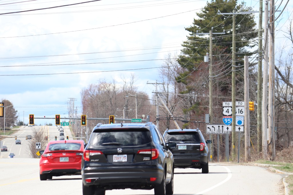
Just northwest of the coastal cities of Portsmouth and Newington, the Spaulding Turnpike begins. And with US Route 4 turning west in the city of Dover, New Hampshire Route 16 takes its place. Though NH 16 begins here as a freeway, this road will continue north for the length of the state, turning into one of the most varied and scenic routes in New England.
Route 16 is the main throughway for visitors to the White Mountains, but for my purposes here on One Road, it’s so much more than that. Starting on the seacoast, Route 16 moves through New Hampshire’s urban south, through a series of elevation changes from the Ossipee Range to the Androscoggin Valley.
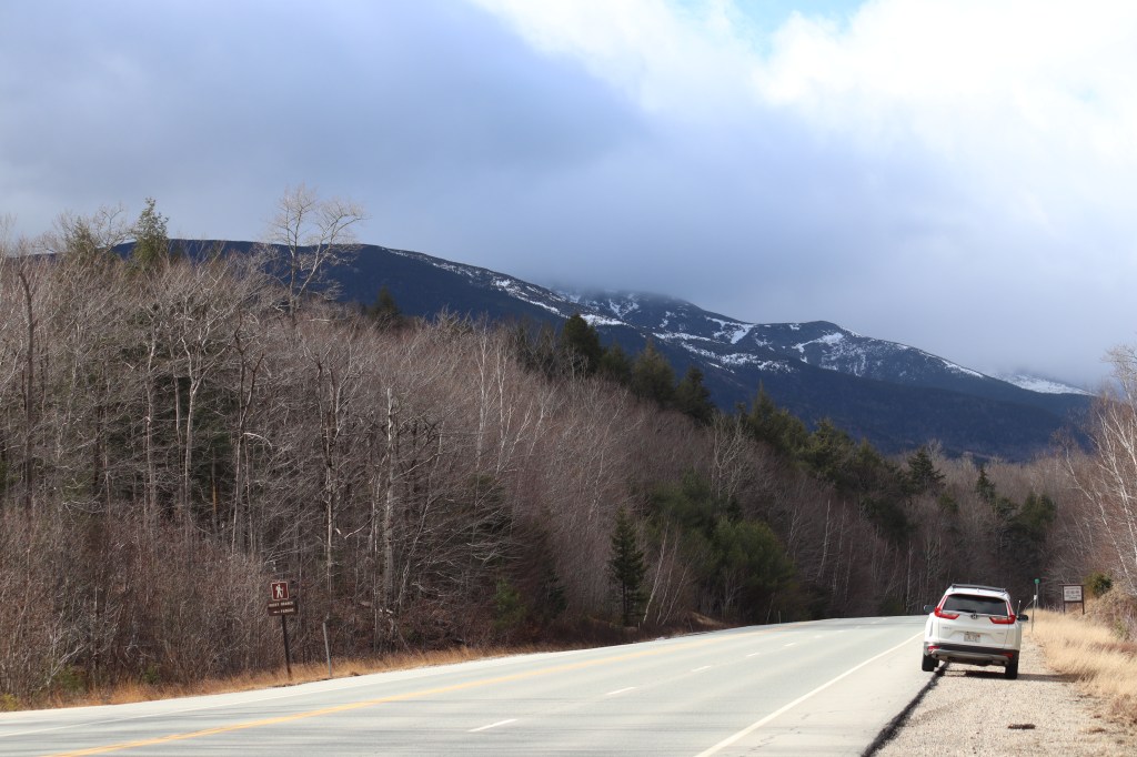
I drove this road on a cloudy day in mid April, but the weather stayed generally clear for the extent of the trip. I hit some rain around Mount Washington, but considering it’s well known for having some of the most variable weather in the region, that was to be expected. As I’ve said before with the MA 3A journey, sometimes what seems like inopportune weather can in practice make for some of the most exciting
This is my journey down New Hampshire Route 16.
Spaulding Turnpike
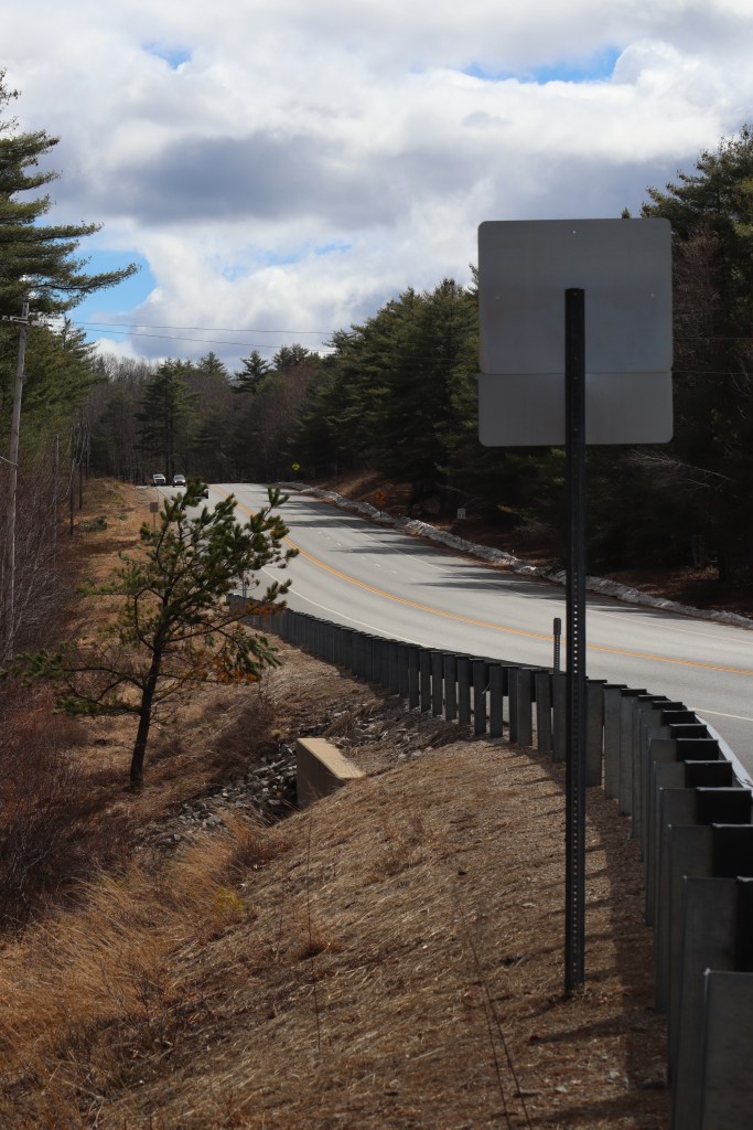
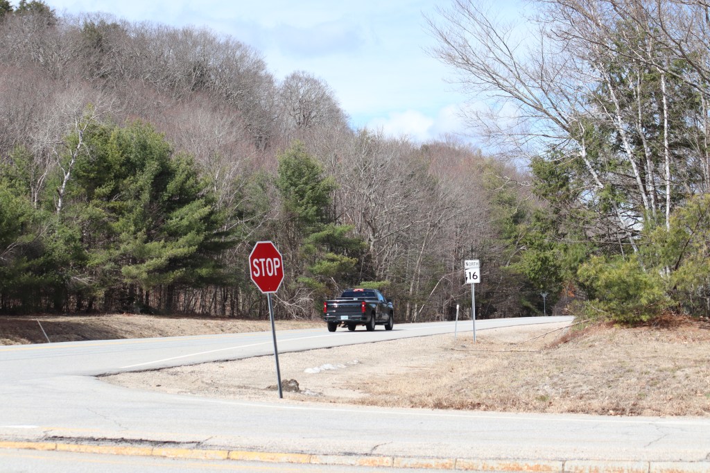
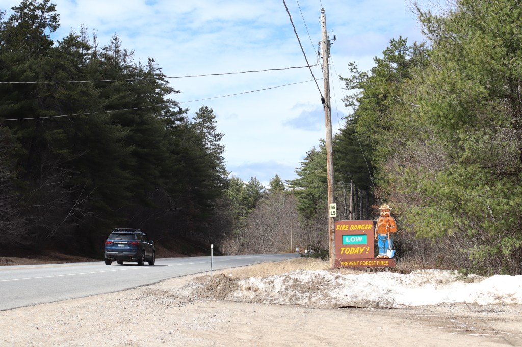
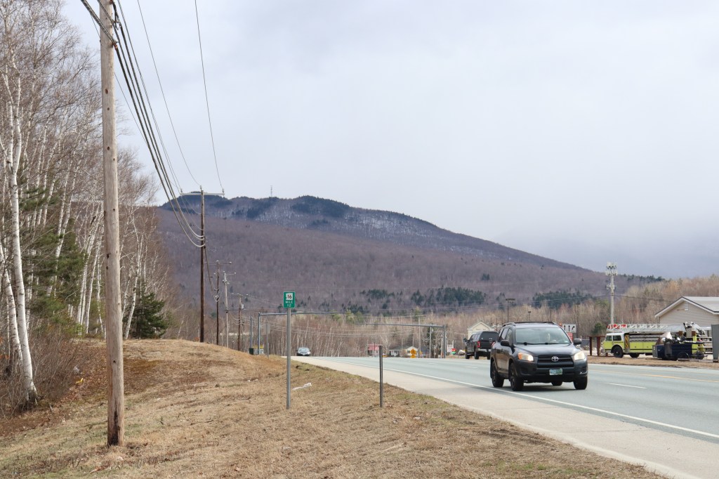
The beginning of Route 16 is, unfortunately, much like an interstate. This means it was really hard to stop and get any photos of the first 30 miles or so. Once reaching the town of Wakefield though, the road narrows and returns to something much easier to explore.
Ossipee
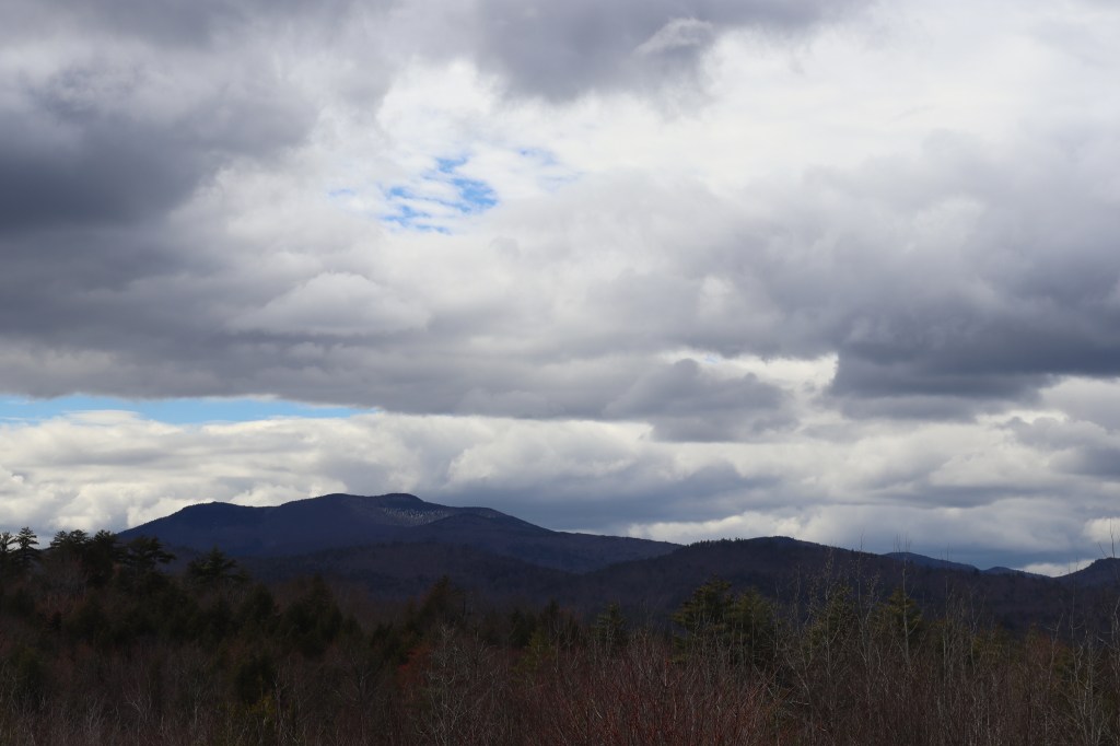
Past the occasional pull-offs of Wakefield and the town of Ossipee, my first major stop of the day was at a scenic overlook peeking out towards the Ossipee Range to the west of Route 16.
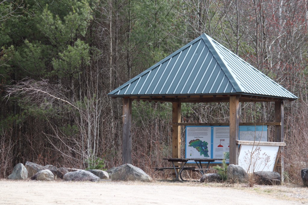
The concrete turns to a meandering dirt lane down the ridge of the road to a small parking area, and stops by a small shelter on the cliffside. Looking out, the Ossipee Range stands proudly as the first of many prominent peaks leading into the White Mountains.
Chocorua
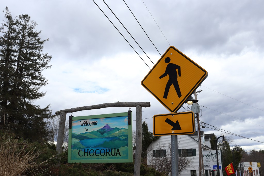
The first small town I stopped in was Tamworth, a little ways north of the Ossipee Range. In particular, Route 16 goes through the village of Chocorua.
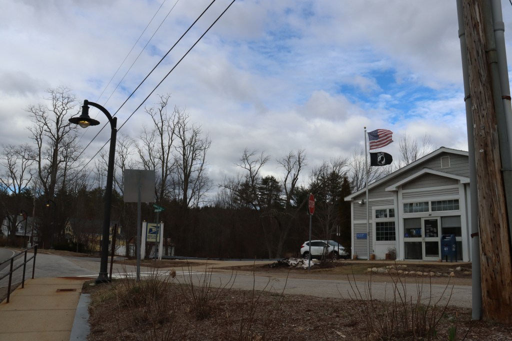
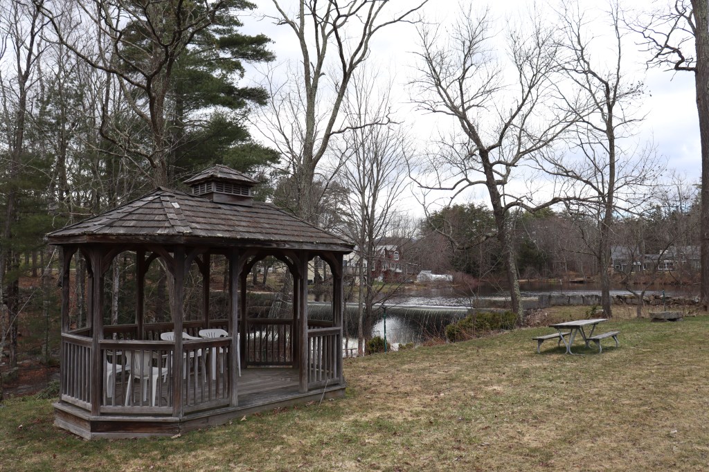
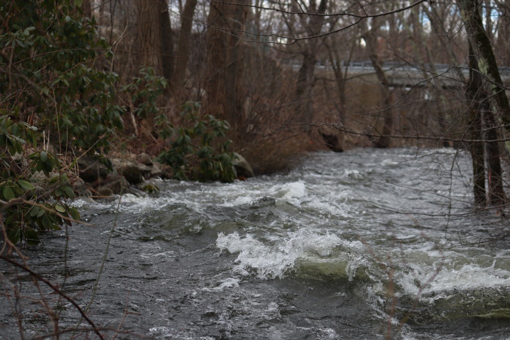
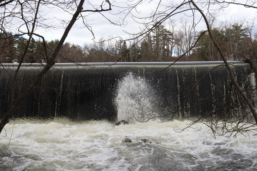
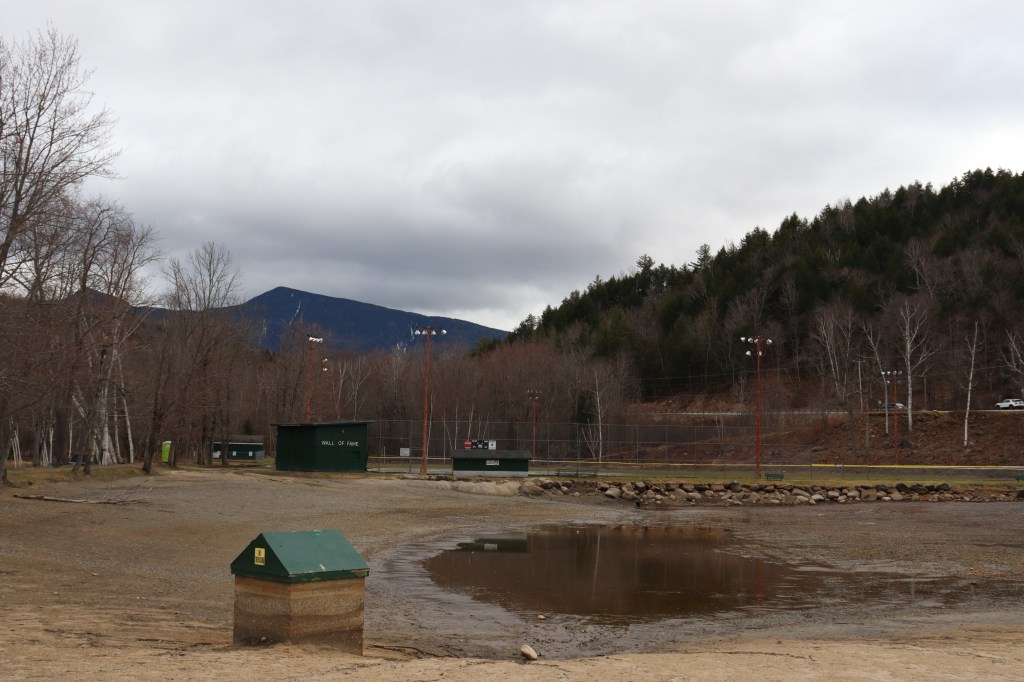
I stopped in the local post office and walked across the street to a small park by the village’s central Chocorua River. Strangely, the dam seemed to be mildly overflowing during my visit, as the grounds around the stream were flooded, creating the odd circumstance of several picnic tables sitting atop shallow water. Though the surrounding area seemed fairly modernized, the park itself appeared to get minimal usage by locals, leading to an almost abandoned vibe.
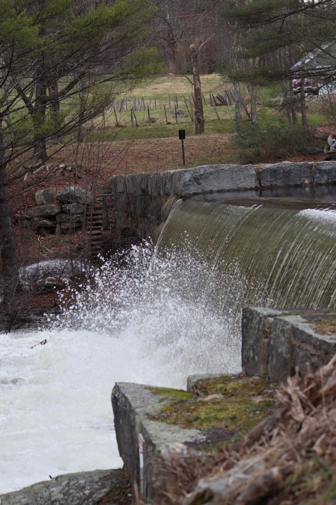
The path allowed for me to get surprisingly close to the town’s dam. Water was spraying up from rocks in the dam wall, creating a fine mist over the nearby park. Even the wooden bridge across the natural bridge was slightly weakened due to the flood. One may think that the town center’s reclamation by nature feels destructive, but all in all, the scene was one of tranquility.
Conway
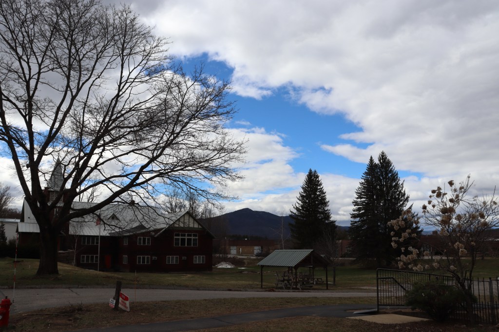
The next town up the road is Conway. Here, amongst quintessential New England small town vibes, it’s clear that we’re moving into mountain country.
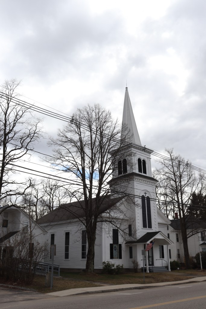
Conway acts as the first town that feels well surrounded by the White Mountains on all sides, and we’re only now hitting the southern border of the national forest. Even with its beautiful scenic nature, Conway doesn’t quite feel touristy in the usual sense. The town proper has a few chain businesses, sure, but no more than you’d see in an established town in Maine or Vermont. The town remains centered around the typical pillars of an old New England town: The post office, fire department, and a unique local church.
This town is also where we pass by the famed Kancamagus Highway, a road between here and Lincoln that passes through some of the most majestic topography in the region. We’ll get a taste of it today when we pass through the national forest in a couple sections, but perhaps soon I’ll drive New Hampshire’s Route 112 and see what that road has to offer.
North Conway
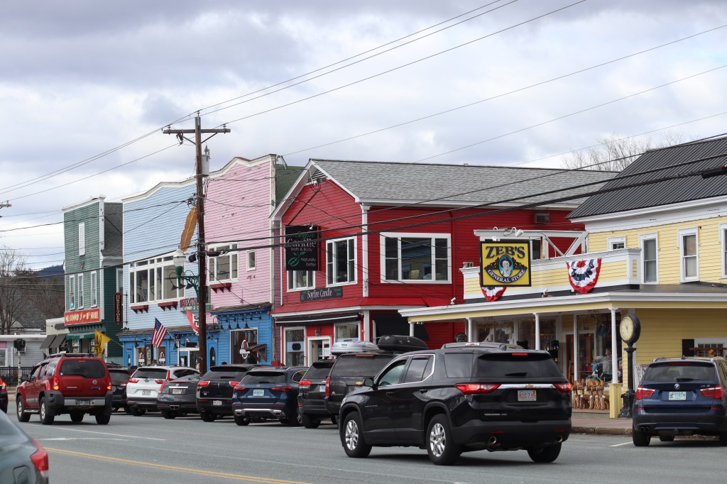
Now we’re into the true ski town portion of Conway. North Conway is definitely the most touristy area I’ve visited so far on One Road, but for good reason. This village has some of the best views of the White Mountains outside of the park itself, and great support from longstanding local businesses that give Route 16 an unmistakable alpine flair.
Even this late into ski season, the village is still filled with hikers, skiers, and tourists roaming the streets. The resorts of the area have continued to make snow for the slopes to lengthen winter as much as possible, but the signature white stripes of active trails give the vistas a sense of texture, and add that little something extra to the surrounding mountainsides.
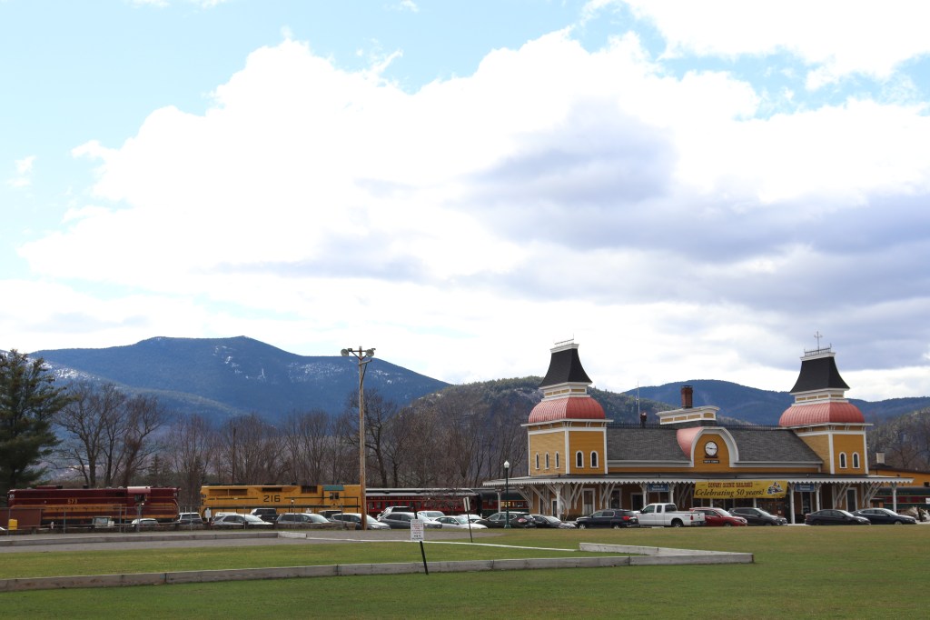
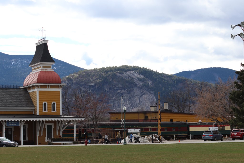
To the west, below the backdrop of monolithic ridges and cliffsides, sits the home base of the Conway Scenic Railroad company, a one-of-a-kind building that both stands out and nestles itself perfectly amongst the verticality of the land. Its unique yellow facade gives a hint towards the style of the whole village; its houses and businesses a spectrum of pastel colors from door to door.
Intervale
Now, mere miles from Route 16’s official entrance to White Mountain National Forest, the town of Intervale sits as a final stop.
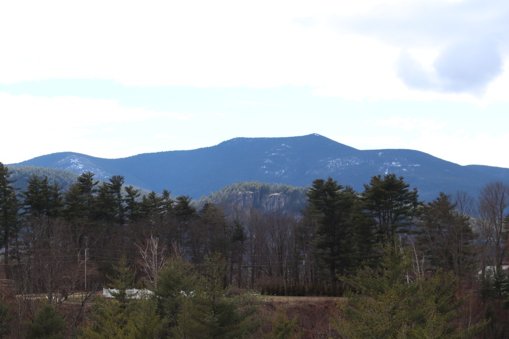
This tiny, and technically unincorporated, community is mostly made up of luxury homes deep in the mountains. But the major point of interest for our One Road purposes is the Intervale Scenic Vista in the center of town. From here, you can see all the way through the Mount Washington Valley to its titular peak in the northwest.
White Mountain National Forest
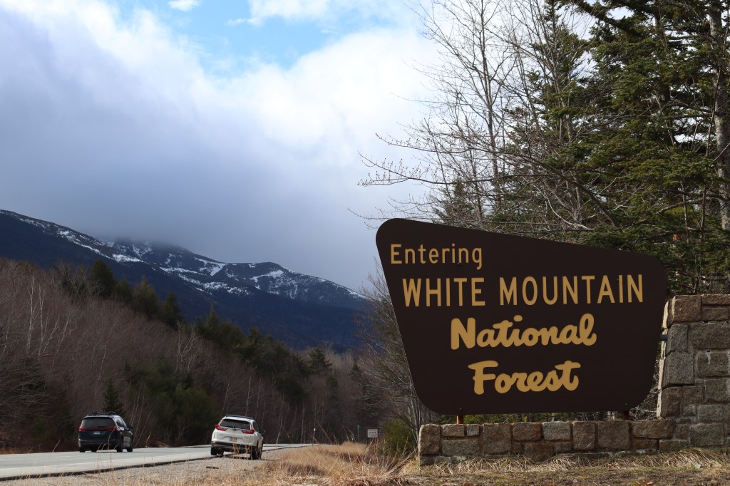
Intervale marks the last hint of civilization we’ll see for a while, as now Route 16 officially enters the White Mountain National Forest.
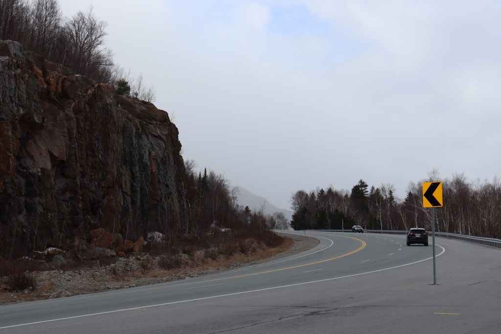
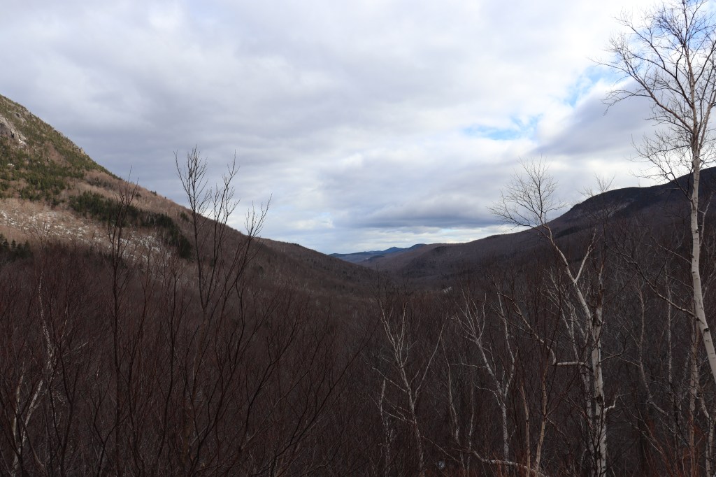
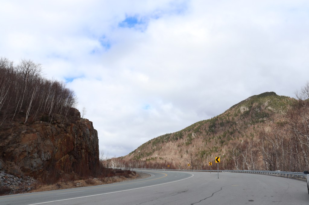
This region is well known for the truly amazing mountain vistas from basically every angle you look at. But one extra tidbit that makes this region even more interesting is its weather. Since the elevation gets so high here, especially around Mount Washington, storms tend to whip up around the area and create a layer of dense fog around its tallest peaks.
Today was one of those days, and unfortunately, due to the storm, the Mount Washington Auto Road was closed while I was there. However, the very edge of the storm’s reaches to the south of Mount Washington still had semi-clear skies and very clear views of the entire region, so I wasn’t going to let a little drizzle stop me from exploring.
Gorham
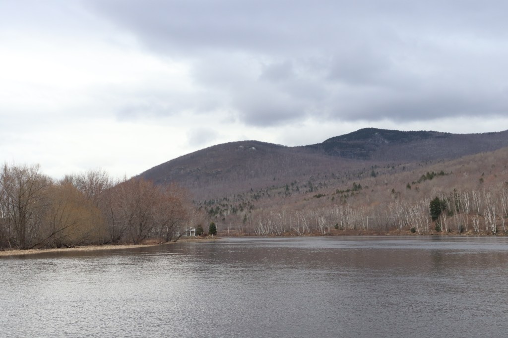
Leaving the forest, Route 16 meets up with the Androscoggin River in the town of Gorham. If you recognize that river name from my coverage of US Route 2 in Maine, you may not be surprised to find out that that road passes through here too.
I stopped by the Gorham Dam in the north of town to take one last look back towards the White Mountains, and look forward towards the Androscoggin. While Route 2 continues west from here, Route 16 will take up the baton US 2 held in Maine and follow this river north, deep into the rural woodlands of Coös County.
Berlin
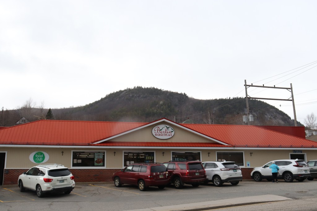
If Coös County is to New Hampshire like Aroostook is to Maine, then Berlin is definitely its Presque Isle. Though not a large city by any means, it is the largest municipality in this county, and in fact the only one in the north of New Hampshire to be labelled as a “city.”
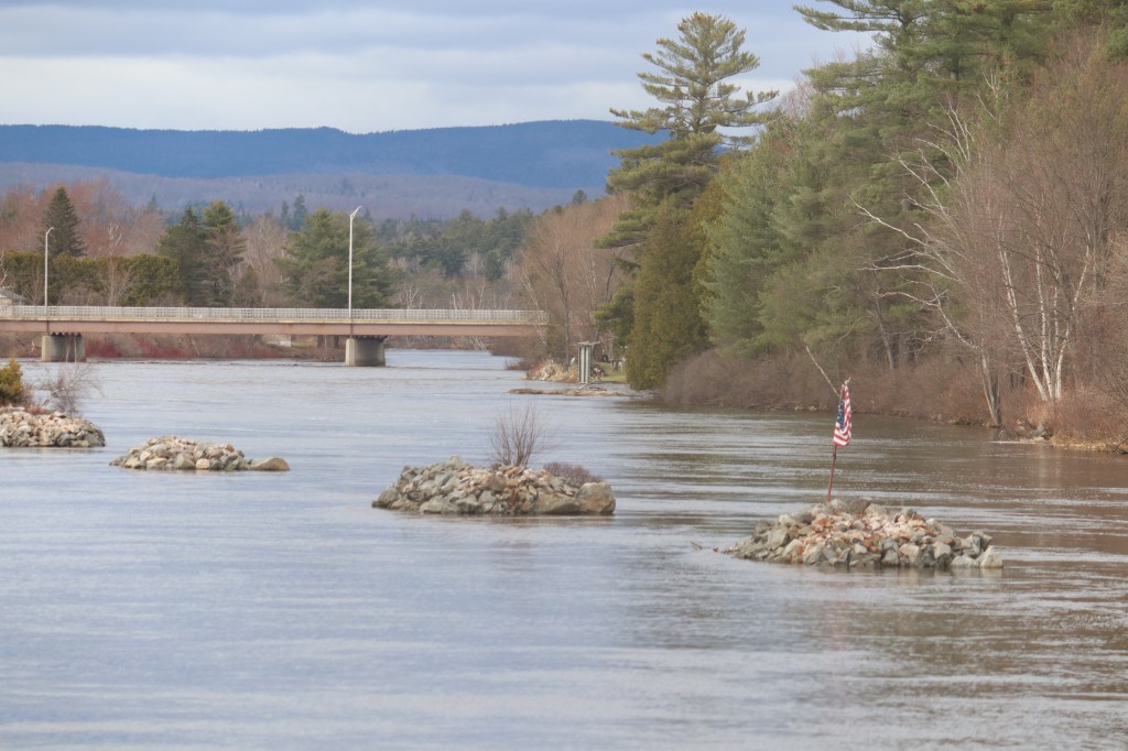
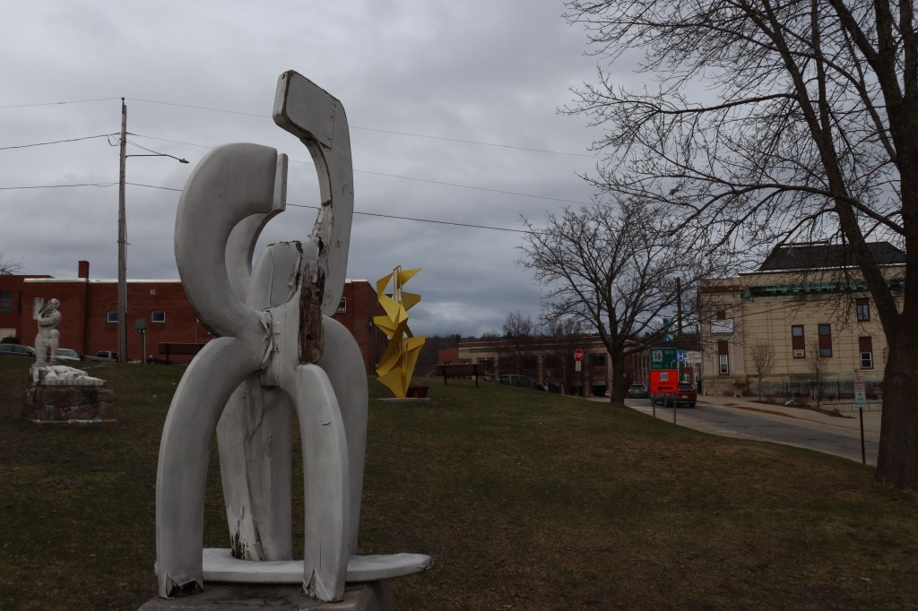
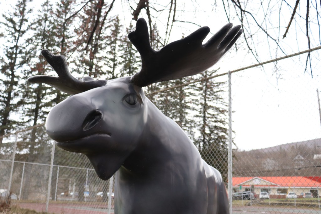
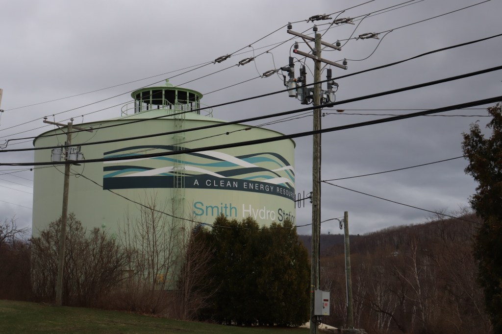
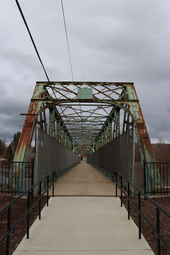
Built from the frame of an old mill town, Berlin has seamlessly tied its past into its present. The large iron bridge across the Androscoggin and classic mill buildings dotting the city square are complemented by a plethora of sculptures and art and the large hydroelectric plant built into its old dam.
But though it appears as a place simply remembering its past successes and embracing new opportunities, Berlin is still, at its core, a small New Hampshire community, respecting its members old and new through commemorative structures across its streets.
Northern Androscoggin River Valley
Past Berlin, there’s not much outside of simple nature to be seen. But what it lacks in quantitative population, it fully makes up for in scenic views.
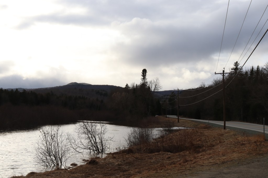
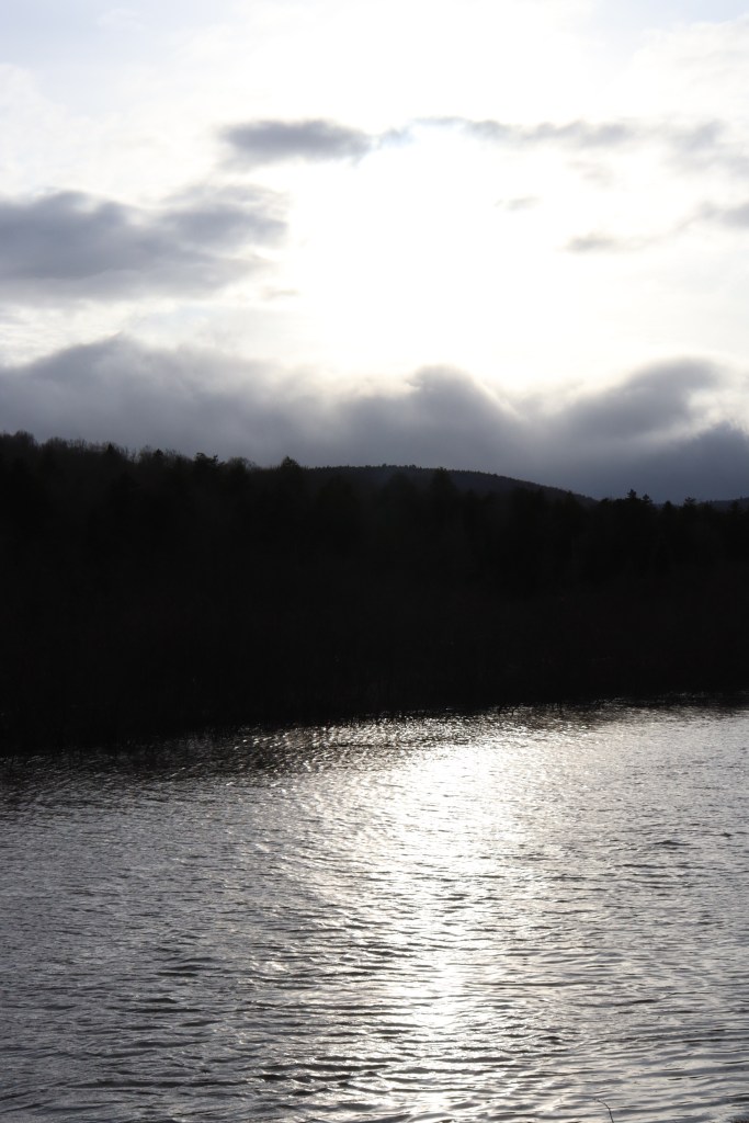
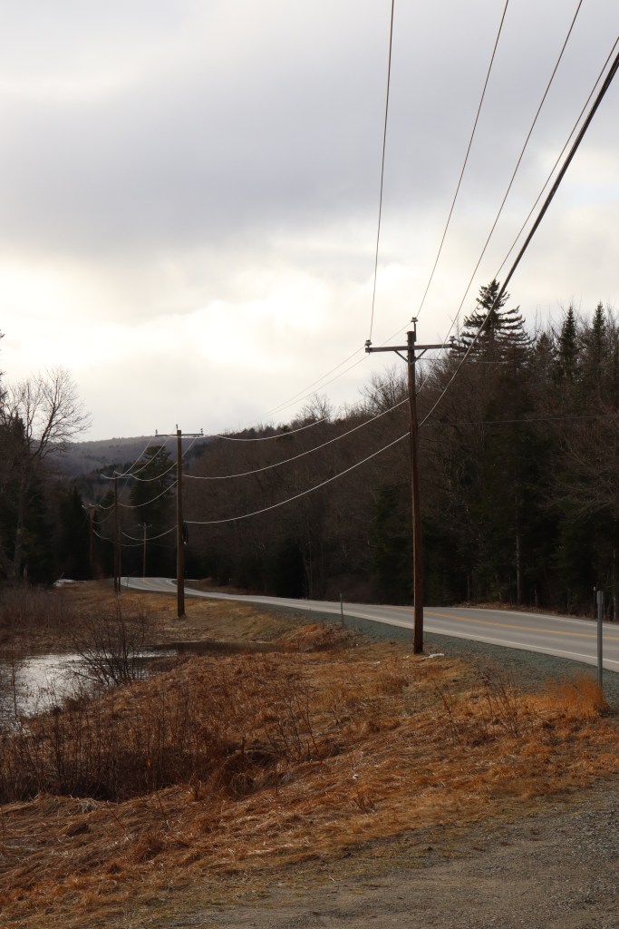
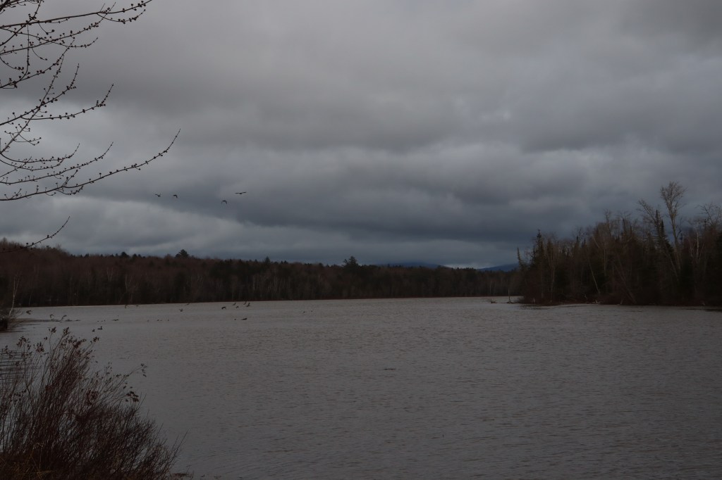
For a surprisingly major amount of mileage, Route 16 runs directly along the shore of the Androscoggin. The views here are many, with every turn catching a new glimpse of the mighty river and the hills and mountains encasing its valley.
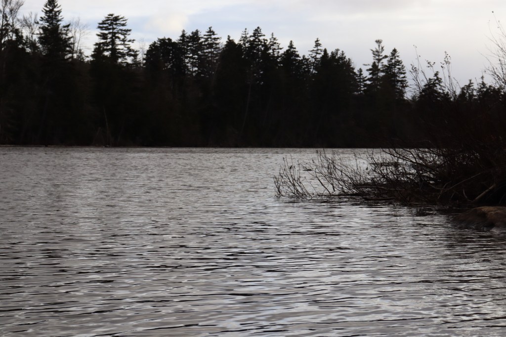
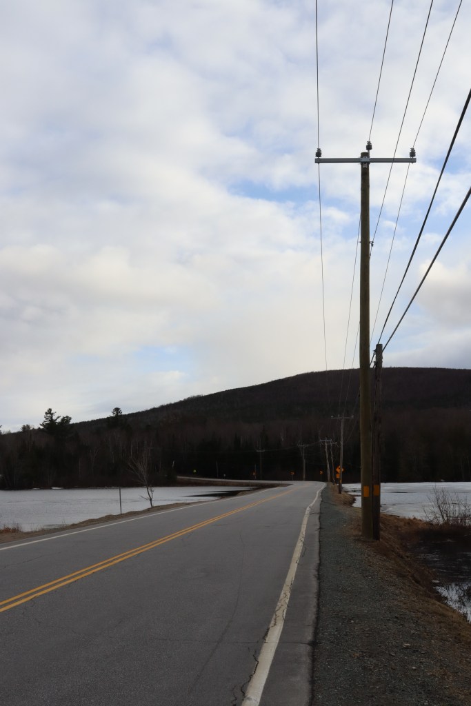
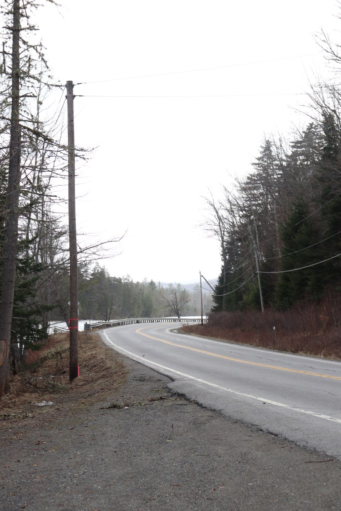
One especially unique spot along the road is that of the Pontook Reservoir, where the Androscoggin as we know it begins. I was excited to see the Androscoggin’s source, being a river I’ve found myself spending a lot of time nearby, but I was blown away by what makes this section of Route 16 so special. The road literally goes over this reservoir, on a small quarter-mile-long land bridge, and for a few moments I am surrounded by water. It’s an incredible section of roadway that seems nearly wholly forgotten due to its remoteness, and one I know I’ll not soon forget.
Umbagog National Wildlife Refuge
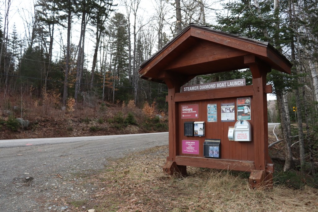
As I approach the Maine border in the township of Wentworth’s Location, Route 16 passes through one more bit of natural beauty in the Umbagog National Wildlife Refuge.
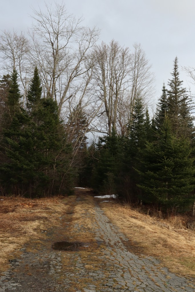
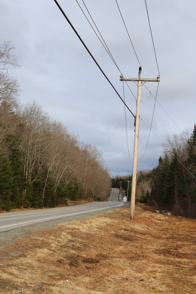
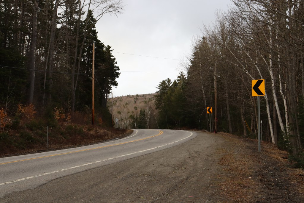
This is the one and only road through the northern part of the refuge, and the sheer remoteness is clear to see. There’s not as much as another car for miles, as this road is the epitome of a hyper-local route. It’s wild that this road began as a major freeway in the seacoast cities in the state’s south, and ends here, in the exact antithesis of urban.
And without much fanfare or camaraderie, I pass a sign by a singular house marking the border of Maine, and consequently, the end of New Hampshire’s Route 16. But don’t worry, Route 16 itself isn’t over. Maine picks up the road with its own Route 16, travelling all the way from this border back into a city, that being Orono on the Penobscot River. I continued this drive on a second day through Maine, and you can see that post right now, as it releases alongside this one.


Leave a Reply