Massachusetts is well known for its coastline. From the national seashore of Cape Cod, to the marshland fishing towns of the Gloucester region, to the many islands of Boston Harbor. But one part of the seashore is largely forgotten by anyone but the locals who live there: the small peninsula town of Nahant.
Nahant Road isn’t part of a state highway or scenic route like other roads I’ve travelled for One Road. This is simply just a road for locals getting in and out of the small peninsula community of about 3500. It starts on the last rotary of the Lynnway, an urban route following the coastline of its namesake city, Lynn, and ends at the southeastern tip of Nahant at Lodge Park. From beginning to end, it’s just under 4 miles long, making it the shortest road I’ve explored for this series so far.
I visited Nahant back in mid-January, during the off-season on an unusually warm day for that time of year. The town is essentially closed to outsiders (who don’t pay a hefty parking fee in the one and only public parking lot in town) between the months of April and October, so this was my best opportunity to experience the town.
I did something a little different travel-wise for this trip as well. Given its short size, I decided to walk the length of the road rather than drive it. This allowed me to explore beyond just the road itself, and really get a feel for the community as a whole. I spoke with locals, visited some of the town’s businesses, and went off the beaten path onto the several parks and beaches that litter the neighborhoods of Nahant.
This is my journey down Nahant Road.
Long Beach
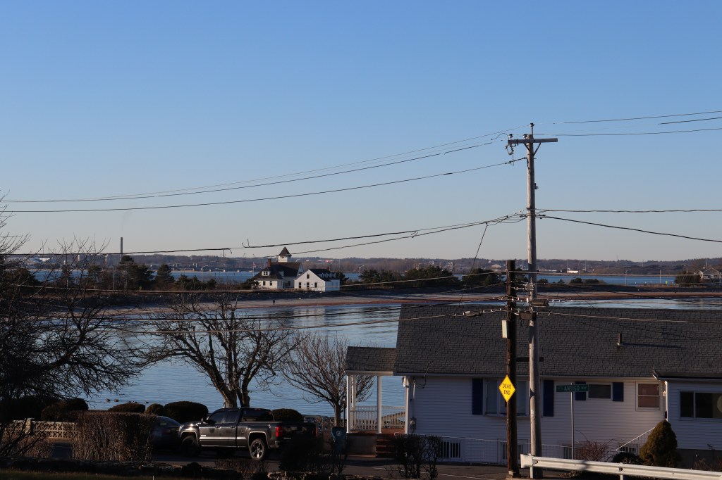
The first mile and a half or so of Nahant Road follows a long isthmus, trailed on either side by Boston Harbor. I drove this part up until the parking area north of Little Nahant Island, but along the way took in the views of Boston from afar.
Due to the position of Nahant and the urbanization of Massachusetts’ North Shore, this is perhaps the only place in the state, outside of some small islands in the far reaches of Boston Harbor, that you can see all the way to Hull in the south and Gloucester in the north. Nahant’s strange shape and unusual hilliness acts as a barrier between views north and south of Boston, so seeing this unique 360 view is one-of-a-kind.

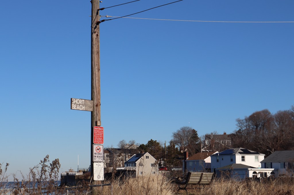
Little Nahant Island and Short Beach
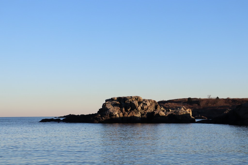
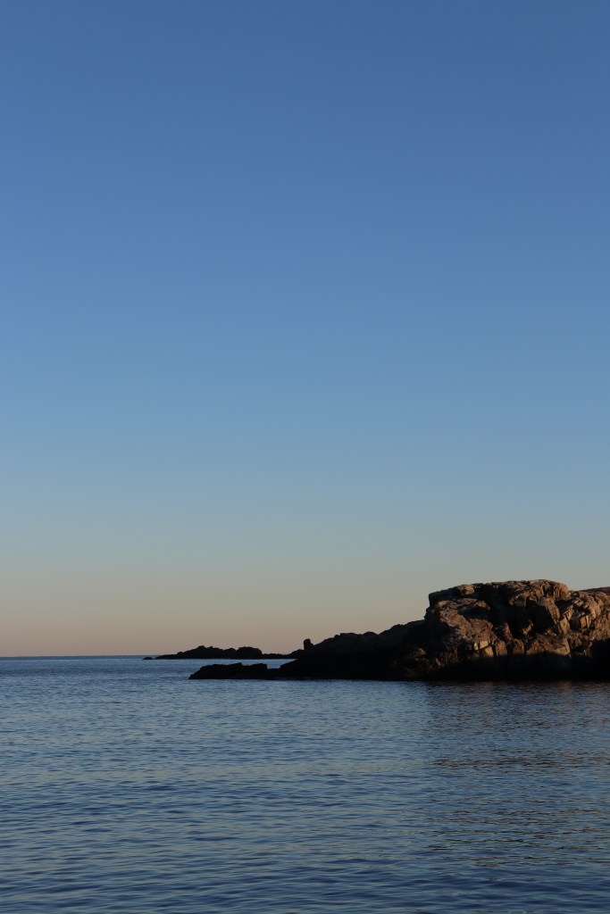
Out of the car and now on foot, I made my way past the Little Nahant Island neighborhood and onto the second isthmus connecting Nahant proper to the mainland. This part of the road runs along Nahant’s second sand beach, Short Beach.
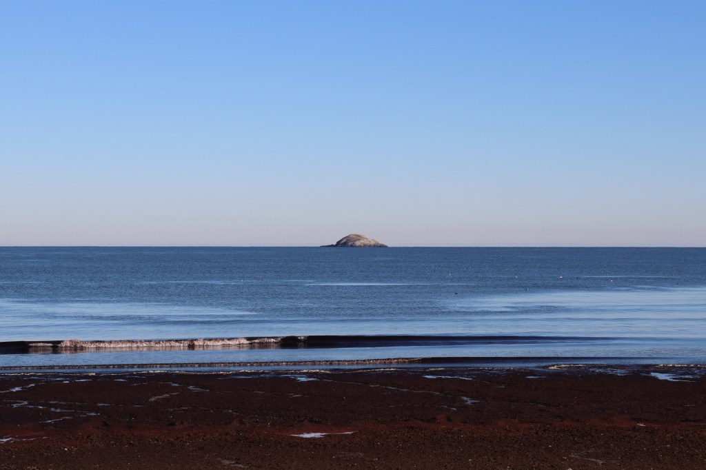
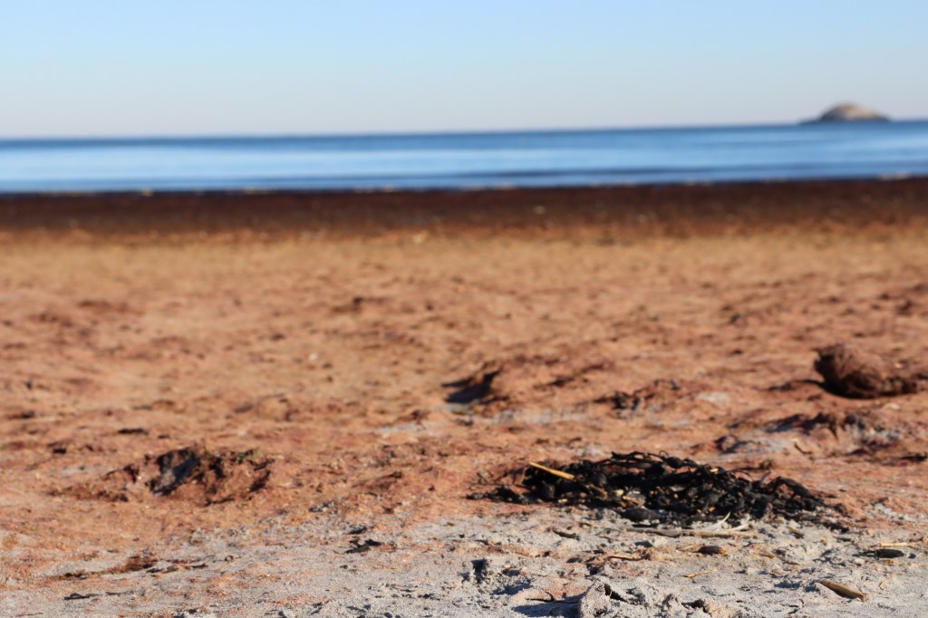
I decided to break away from the sidewalk and followed the wave line for a half mile or so. Short Beach overlooks Egg Rock, a small island and state wildlife refuge positioned independently in front of the endless Atlantic.
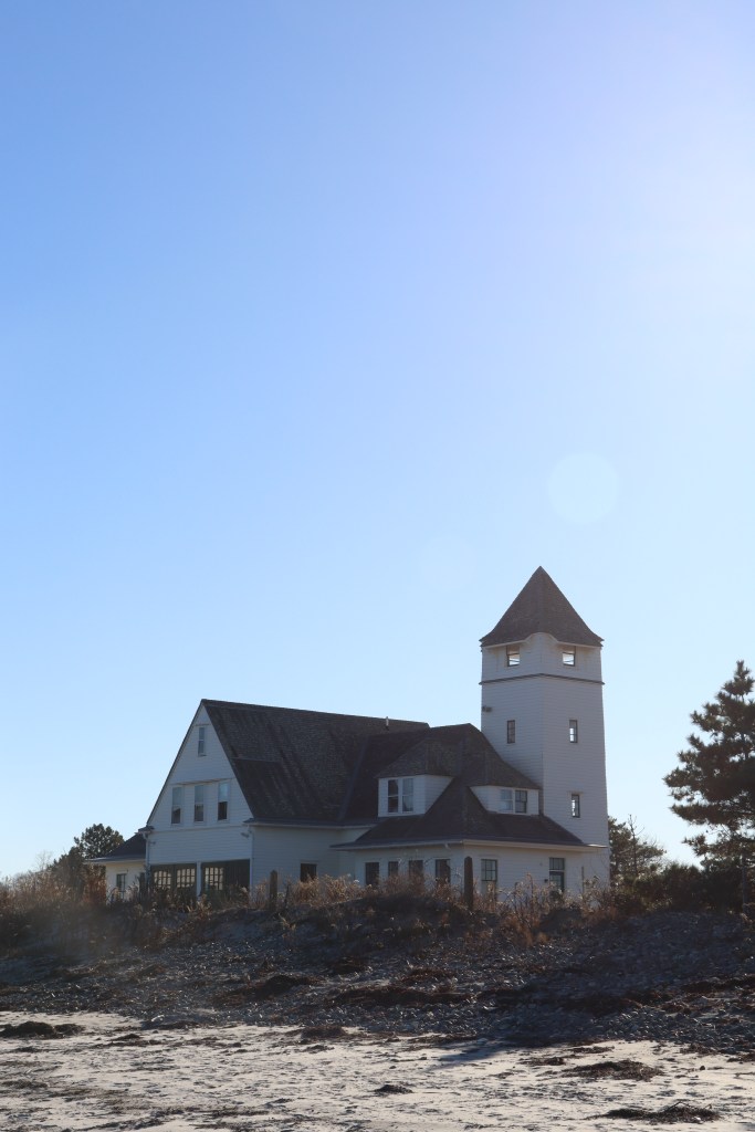
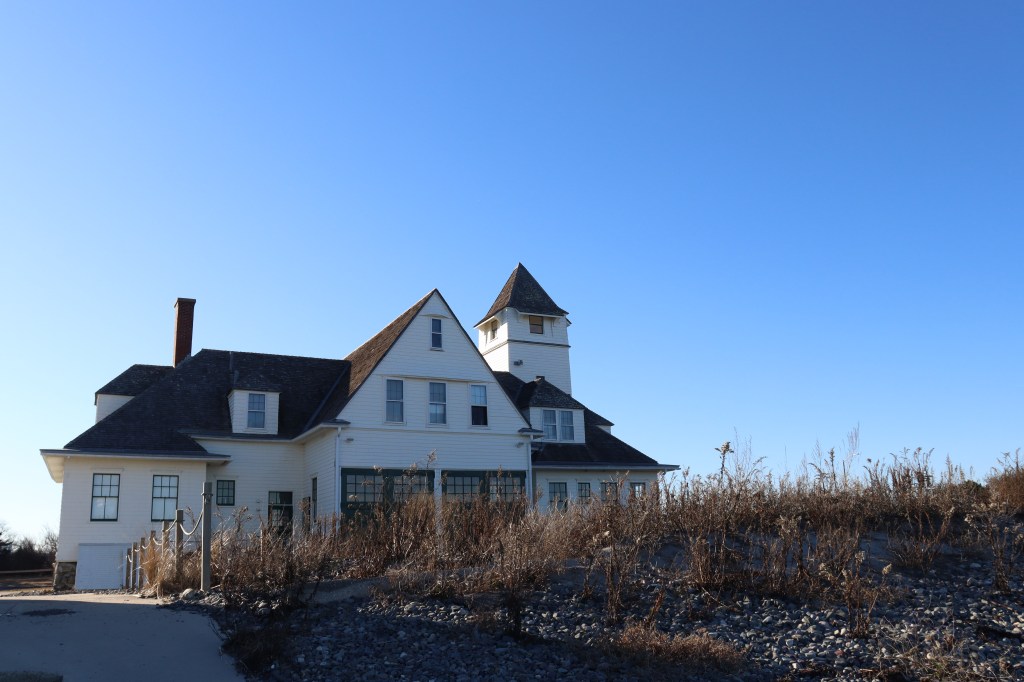
The beach is also home to the Nahant Life Saving Station, a historic lighthouse that now stands as a symbol of life on the peninsula. I spoke with two locals who were also walking along the beach, who gave some insight on the importance of the structure. Even long since it’s been out of official service, it remains a centerpiece of Nahant’s community.
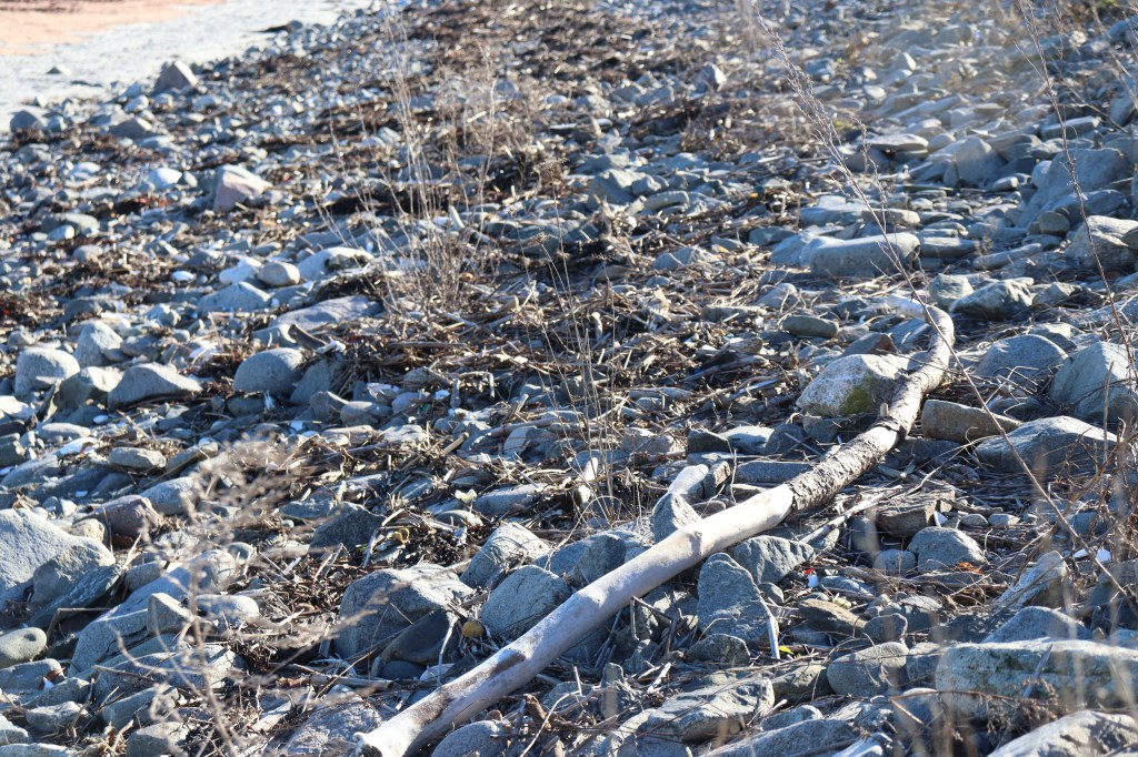
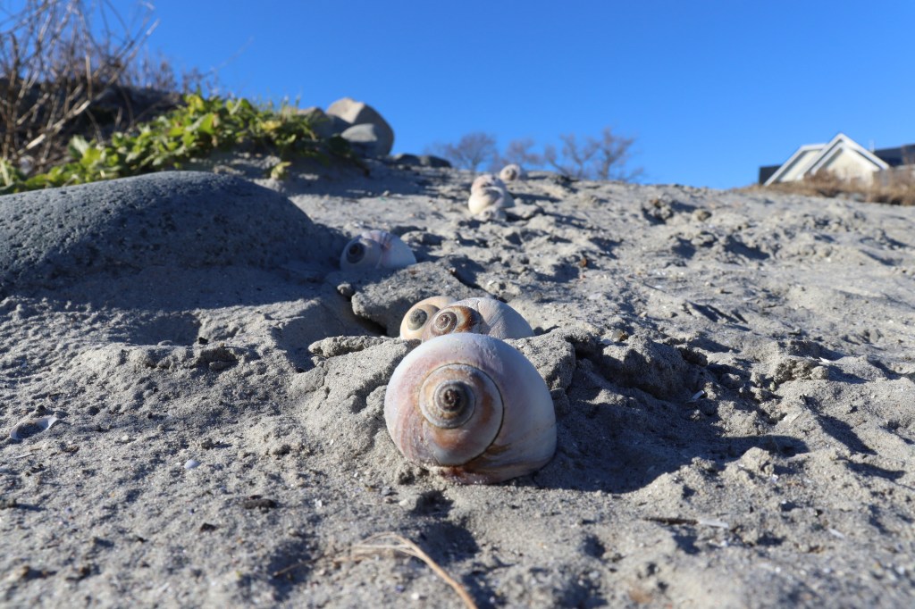
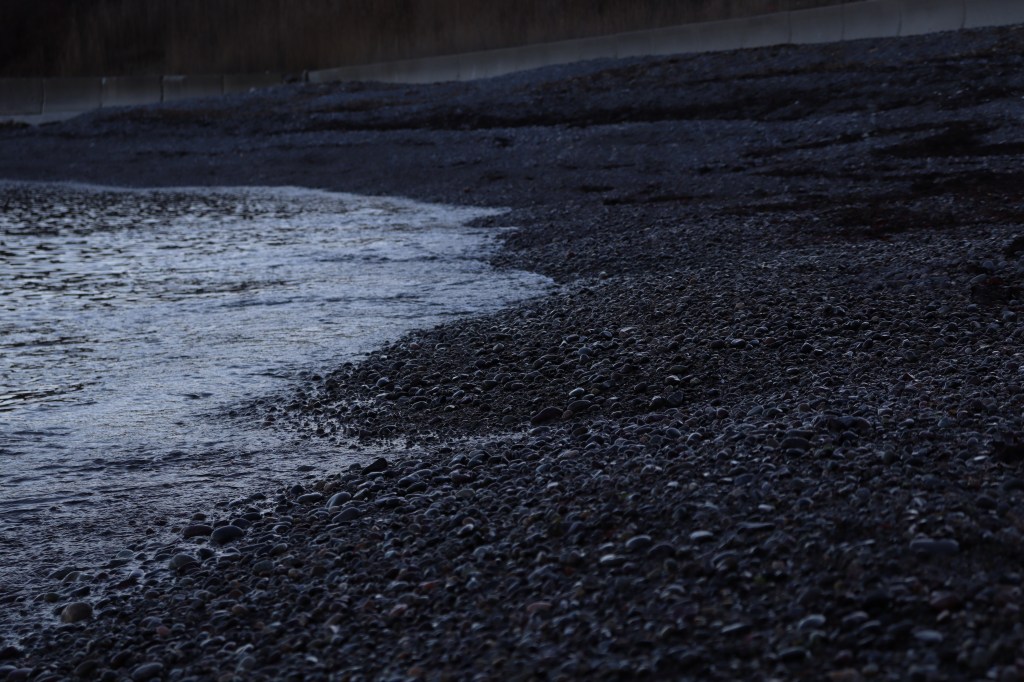
Beyond the scenery and structures, however, I found myself most interested in the nature of the beach itself. Though it was the heart of winter, the shells and seaweed posted periodically along the waterline made it feel alive.

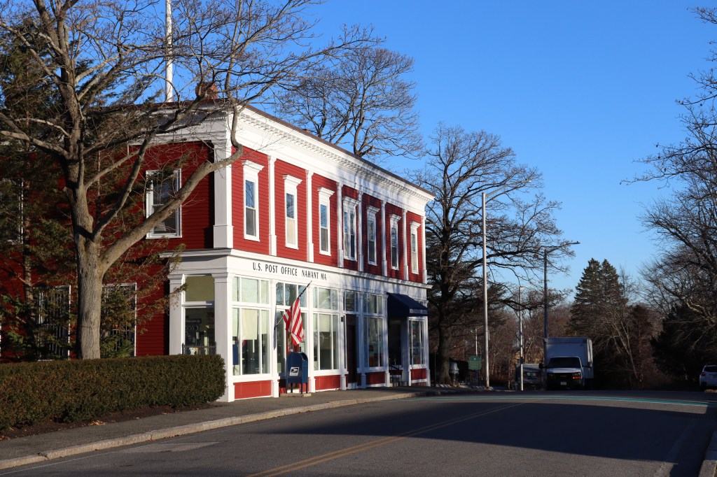
Nahant
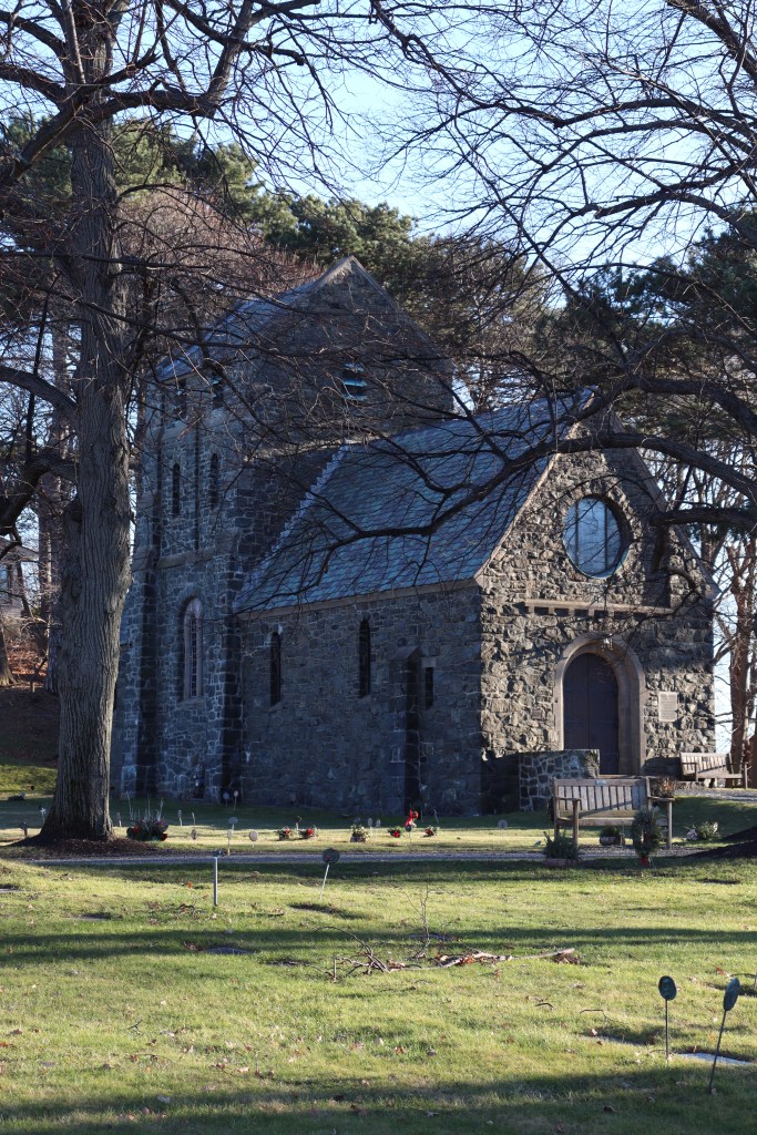
After stopping for lunch at Nahant’s only restaurant in town, Seaside Pizza, I continued on into the town itself. The road gained elevation, and at the top of the hill rested the sort of main street vibe you’d expect to see in a small New England town. A small cobblestone church on the town common. A tiny, locally-staffed police station. A convenience store or two within walking distance of every residence in town.
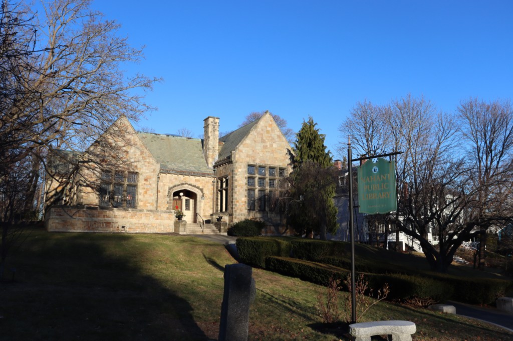
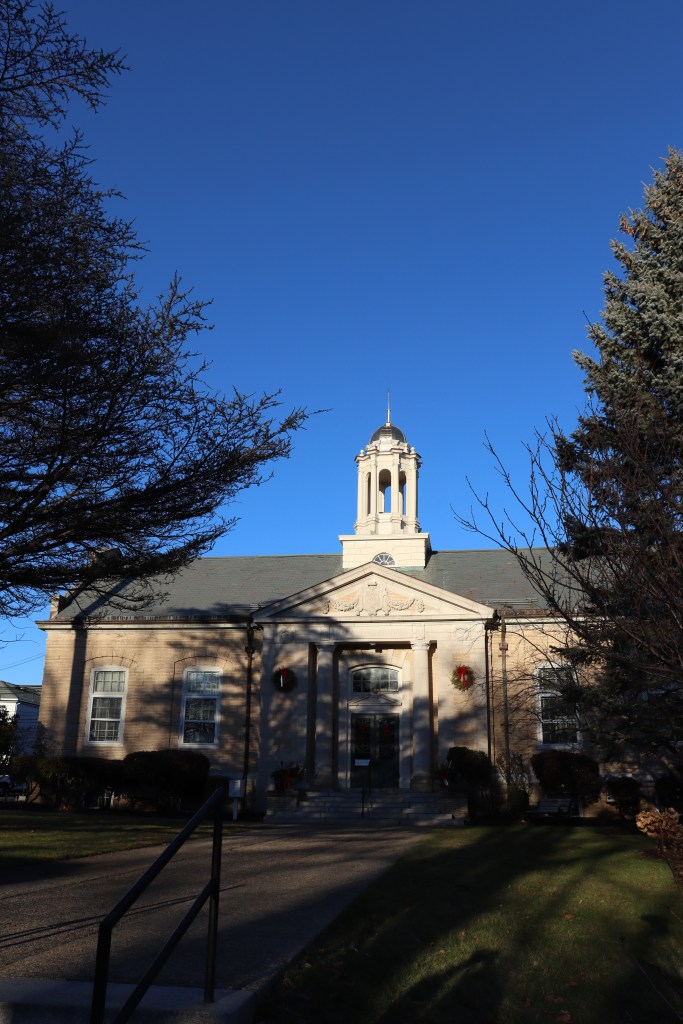
Further down the road lied the Nahant town hall, a beautifully ornate capitol-esque building nestled between a pair of old trees. Its classically New England architecture was matched by that of the library further down the road, a building I decided to stop in for a few minutes to chat with the librarian about local history.
Though Nahant is certainly a fairly wealthy community, it doesn’t seem particularly luxurious like other wealthy communities around the city. The town is still, at its core, just a town. Its lack of apartment complexes or multi-million-dollar mansions becomes clear when you see just how tightly knit its residents are. And getting the opportunity to speak with some of those residents one-on-one made that feeling very clear.
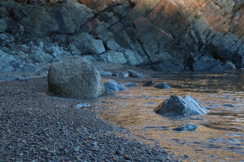
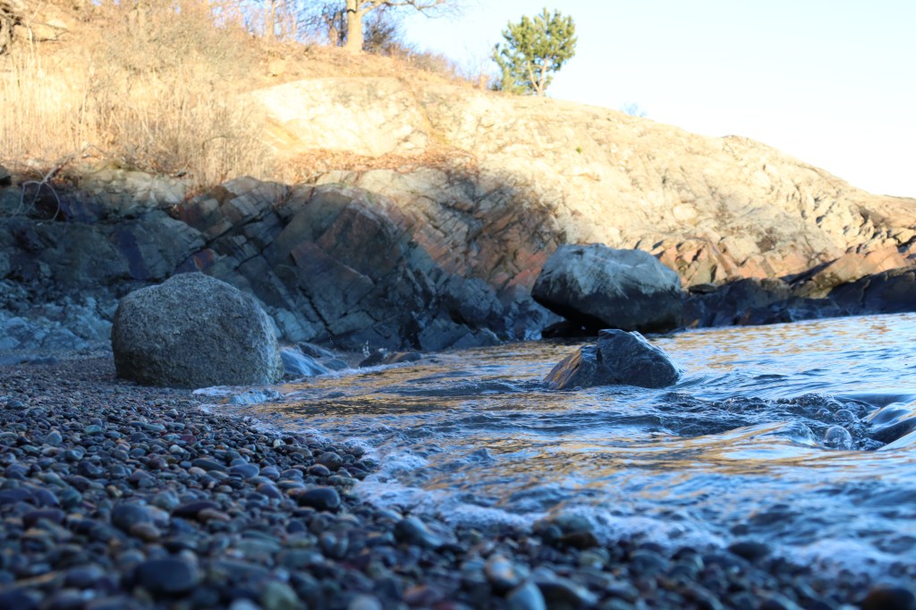
Forty Steps
At the eastern end of the main town of Nahant lies a small staircase onto another of its several beaches. This area is labelled simply as Forty Steps.
At first, I must say that I was a bit disappointed to count out a total of 52 steps down from the road to the water, a 12-step increase from the promised 40. But later, I discovered that the “Forty Steps” name comes instead from the many geological features surrounding this small cove, resembling staircases in their own right. But then I discovered that that too may be false; perhaps the name references the small size of the beach, only taking around 40 steps to cross from end to end.
I got conflicting reports from the local library, and researching online yielded even fewer answers, so I suppose it’s best to leave it up to interpretation what the name means. No matter what or why it’s called what it is, however, it’s impossible to deny the beauty in this small pocket of coastline on one of the most defined rocky outcroppings in the state.
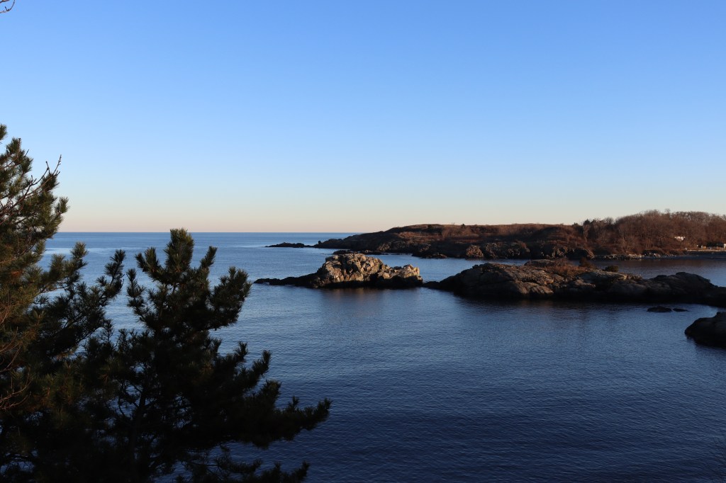


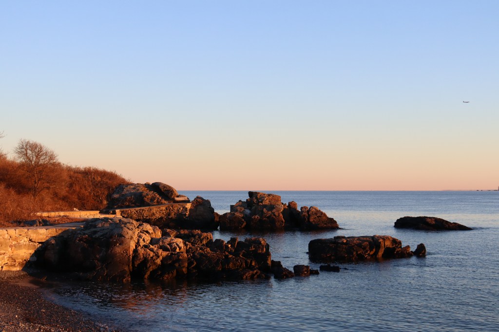
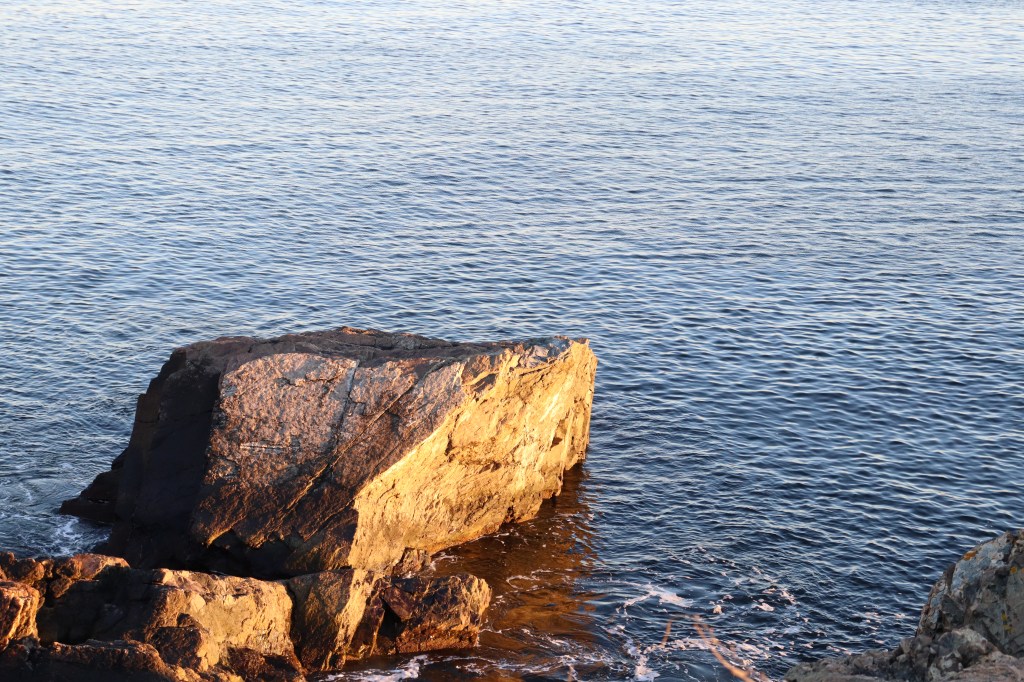
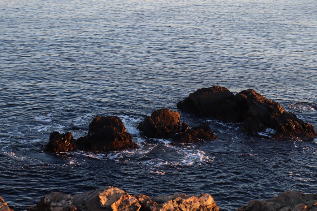
Lodge Park
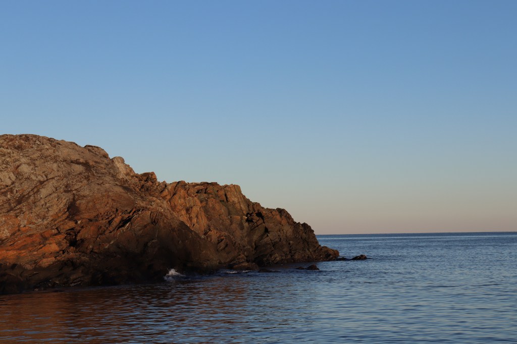
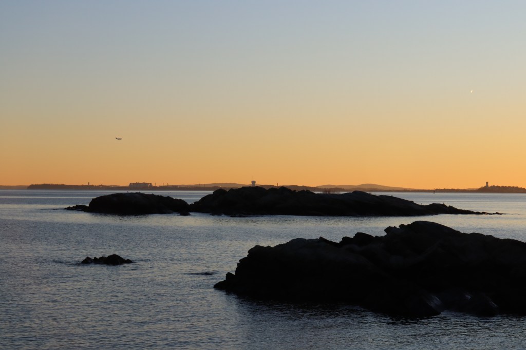
Nahant Road meets its terminus at the entrance to Lodge Park. Once a military site, much of the area is now owned by Boston’s Northeastern University as a research center for marine sciences. But beyond the gated ruins of the old fort, a small public park grants a final look out towards the deep sea to the east.
As the sun sets over the distant skyscrapers of Boston, I looked out to the harbor at the few large rocks poking their faces out of the water. From here, you can get the clearest mainland view of The Graves, a series of small islands extending from Boston Light to the northeast border of the harbor itself.
At the end of this one road journey, I’m left with the primary feeling of being refreshed. Though this was, distance-wise, my shortest one road to date, the act of going on foot and experiencing everything this town had to offer was a wholly unique experience to the usual driving tours I do. When on foot, the overarching sense of adventure feels that much more free. I’m still sticking to one road, but it seems like that road is so much more open. And if there’s any Massachusetts town to take this walking tour through, the scenic coastlines and community vibes of Nahant is a prime choice.


Leave a comment