For nearly every year of my life, my dad and I have always ended our summer by making a visit to Maine’s Blue Hill Fair. It’s a typical country fair with food stalls, carnival rides, farm competitions, a local art showcase, and it’s always a ton of fun to go to (I especially love the produce exhibition, there’s serious skill behind vegetable growing!). But one of my favorite parts of going to this fair is to have an excuse to visit the Blue Hill Peninsula, a stunningly scenic but often overlooked section of Downeast Maine nestled between the Penobscot Bay and Acadia.
ME Route 175 was my first choice for a tour across the peninsula, as it meanders across a majority of it in a large fishhook pattern. Though it’s signed as a North-South route, it moves primarily east to west along the rocky coasts of five Blue Hill towns, and stops by some of the coolest natural features this region has to offer.
This is our journey down ME Route 175.
Blue Hill
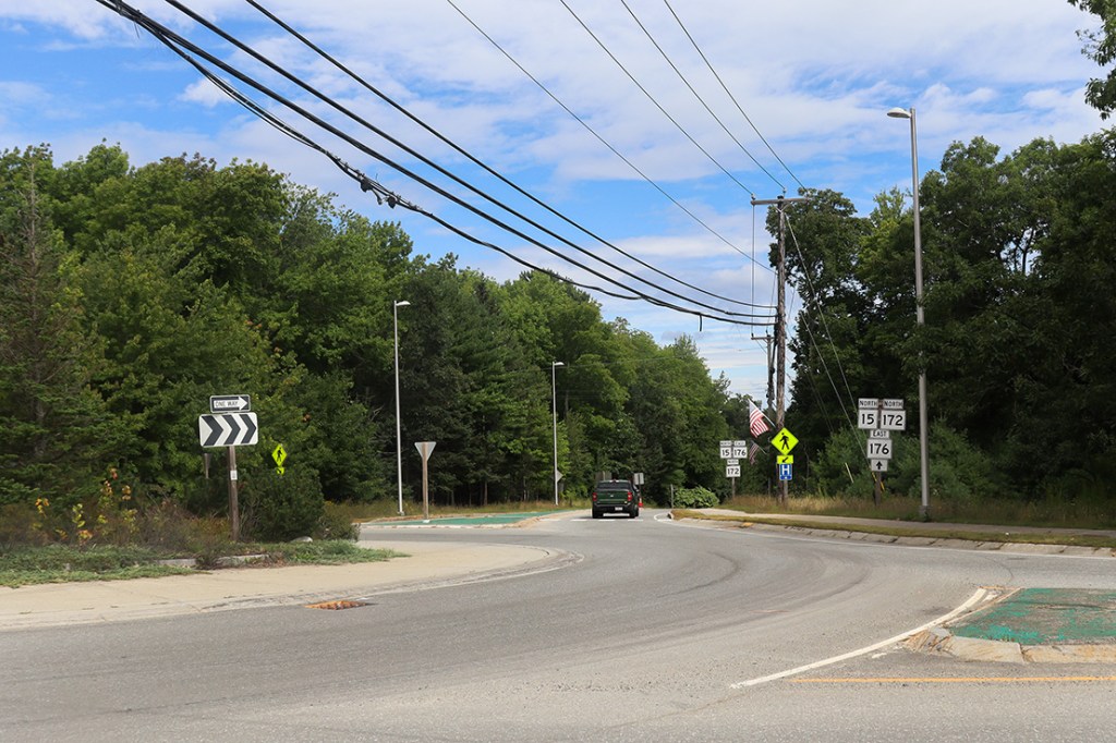
Route 175 begins just southwest of the town of Blue Hill’s main street, at the rotary connecting Routes 15, 172, 176, and (via a short connecting road) 177. I usually wouldn’t bother to list out every other route we pass by on a One Road, but in this case I think it’s actually somewhat relevant. There’s one thing to get out of the way about the Blue Hill peninsula early: the routes in this small Downeast subregion have some of the most wild and meandering trajectories in the state, so we’ll be meeting up with each of these routes again at several other points along 175.
We unfortunately won’t be seeing much of the town of Blue Hill on this route, but with the traffic caused by the Blue Hill Fair holding things up a couple miles north, I’m happy to start this journey on a much quieter stretch.
The Nub
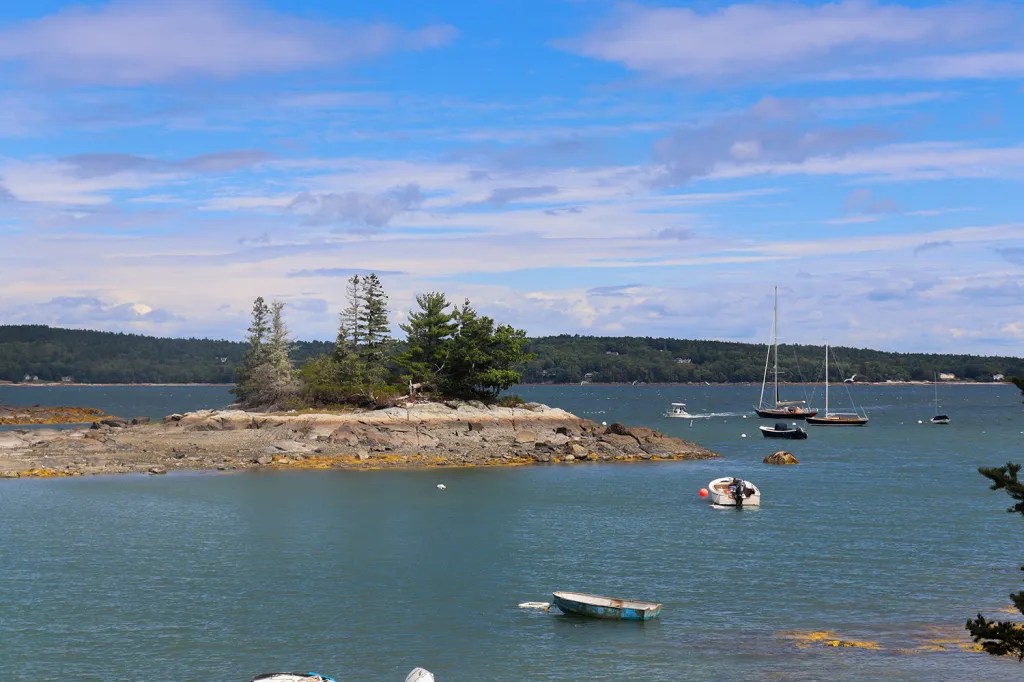
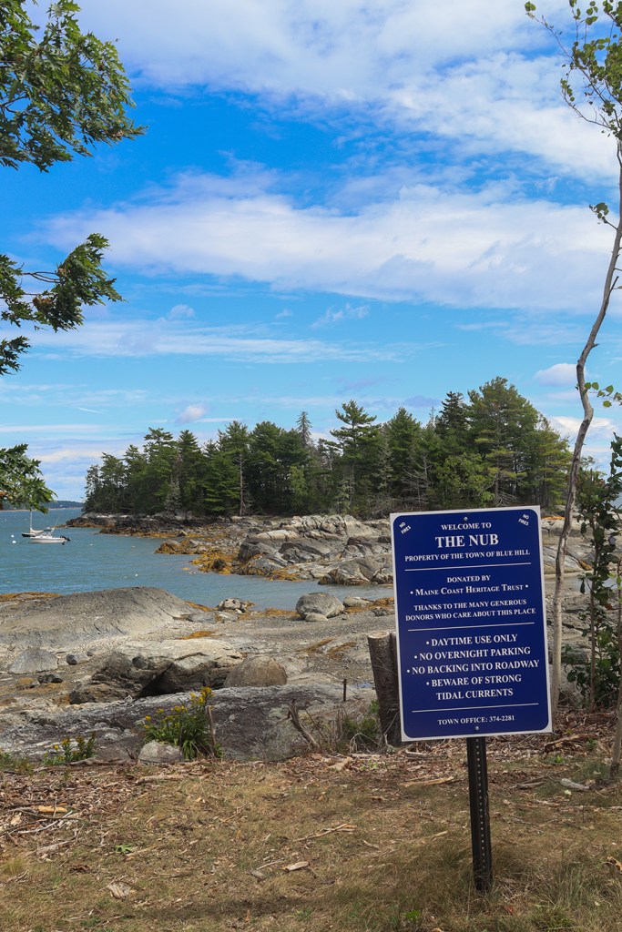
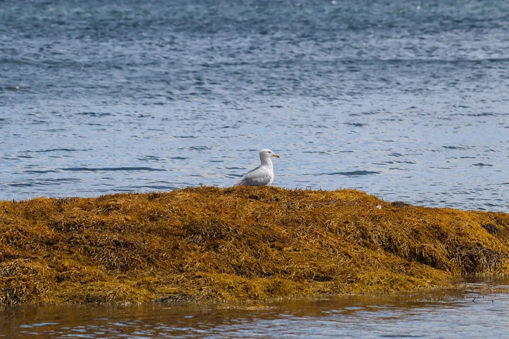
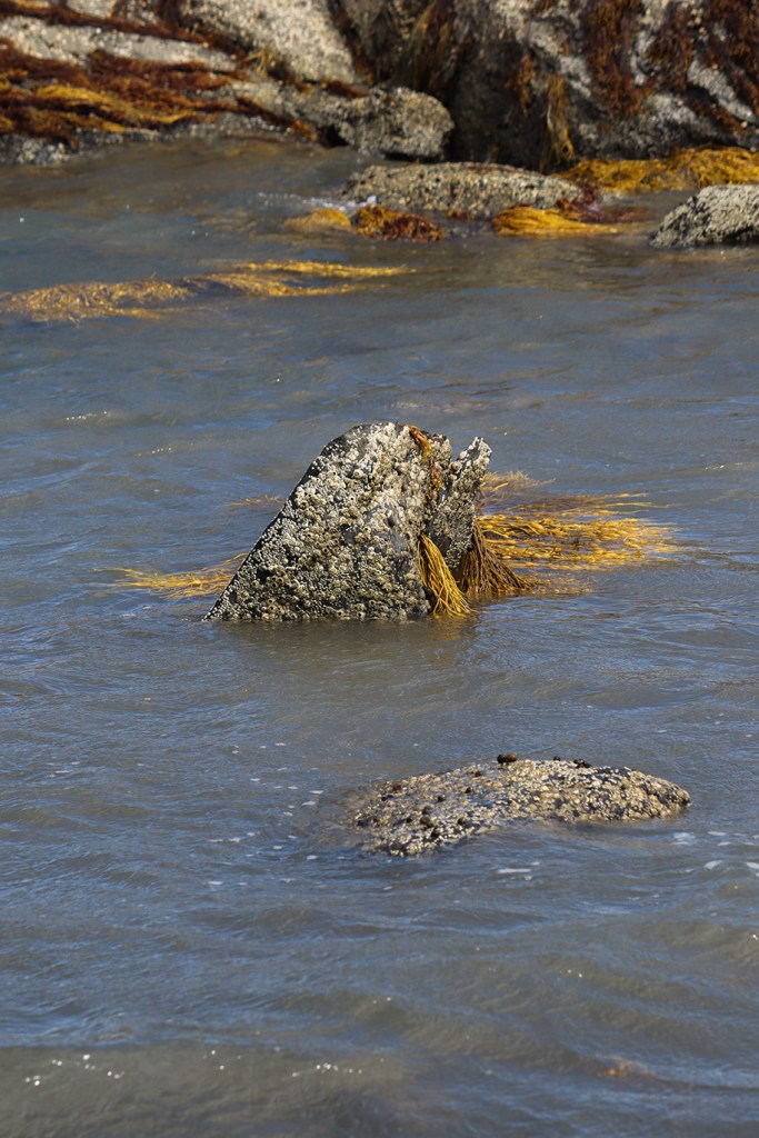
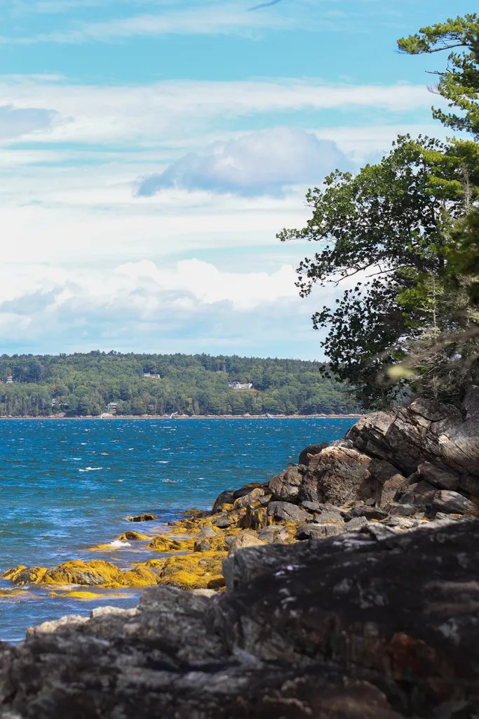
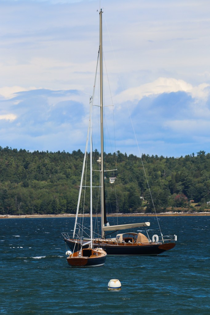
Our first stop was certainly one of the sillier place names we’ve seen on One Road (apparently Downeast Maine is starting to get a track record here!). Despite its title though, The Nub is a beautiful little stopping point with a nearly 360° view of the Mount Desert Narrows.
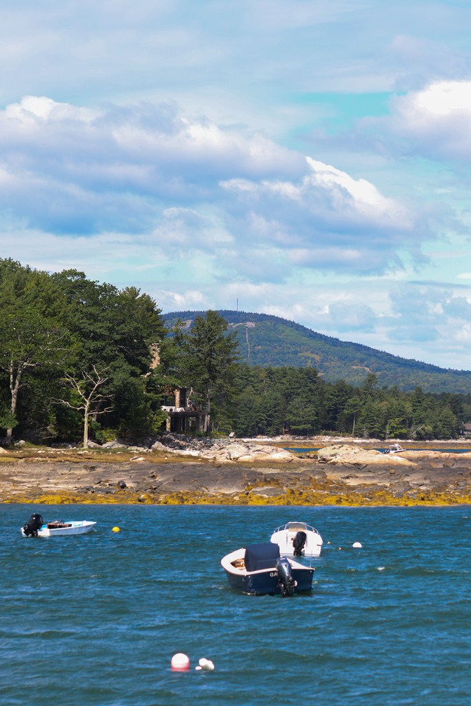
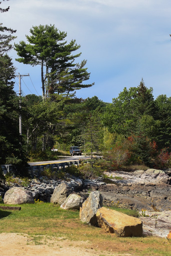
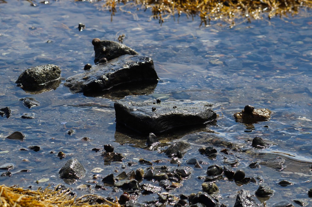
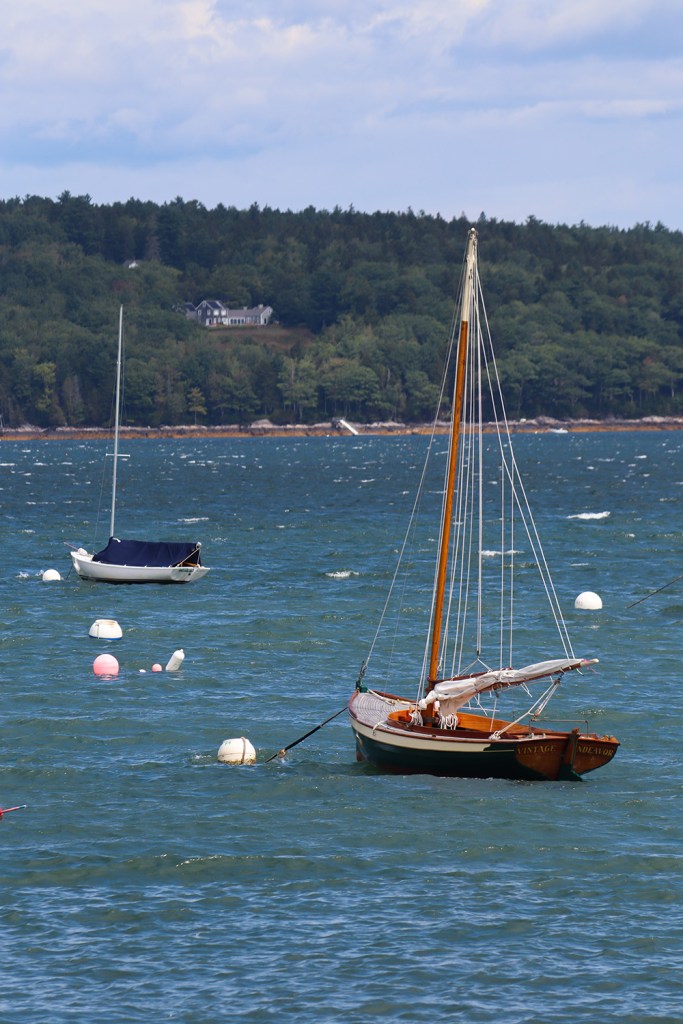
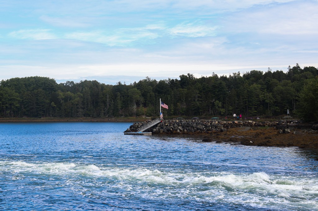
As it turned out, we arrived at exactly the right time, as the tide was low enough for us to walk across to the small forested island this location is named for. It was rising though, so we couldn’t stay too long and risk wading back to the parking lot. We definitely made good use of our time though – I got a LOT of pictures of the many compositions of the fishing and sailboats docked to our north. I’m only putting my favorites below, or else we’d have a whole post worth of just boat pictures!
Blue Hill Reversing Falls
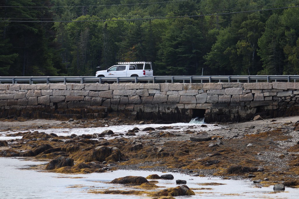
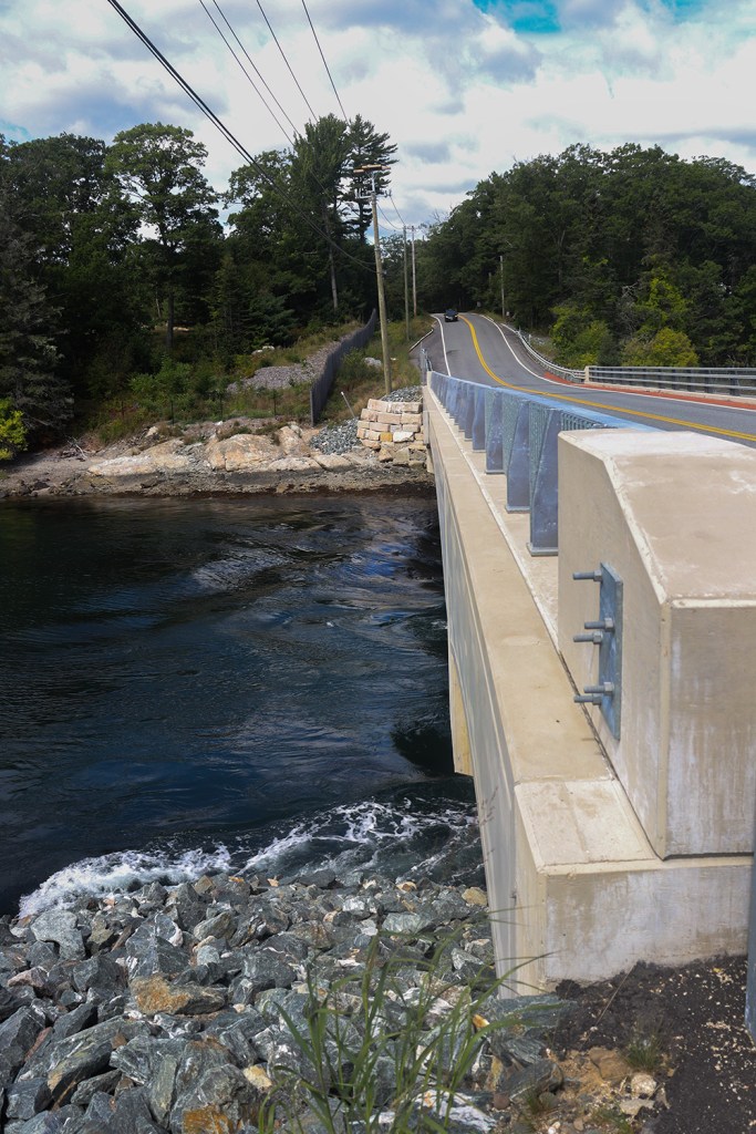
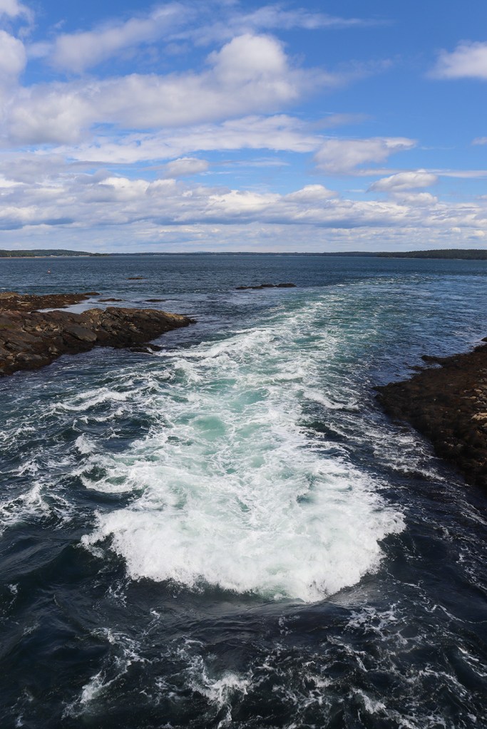
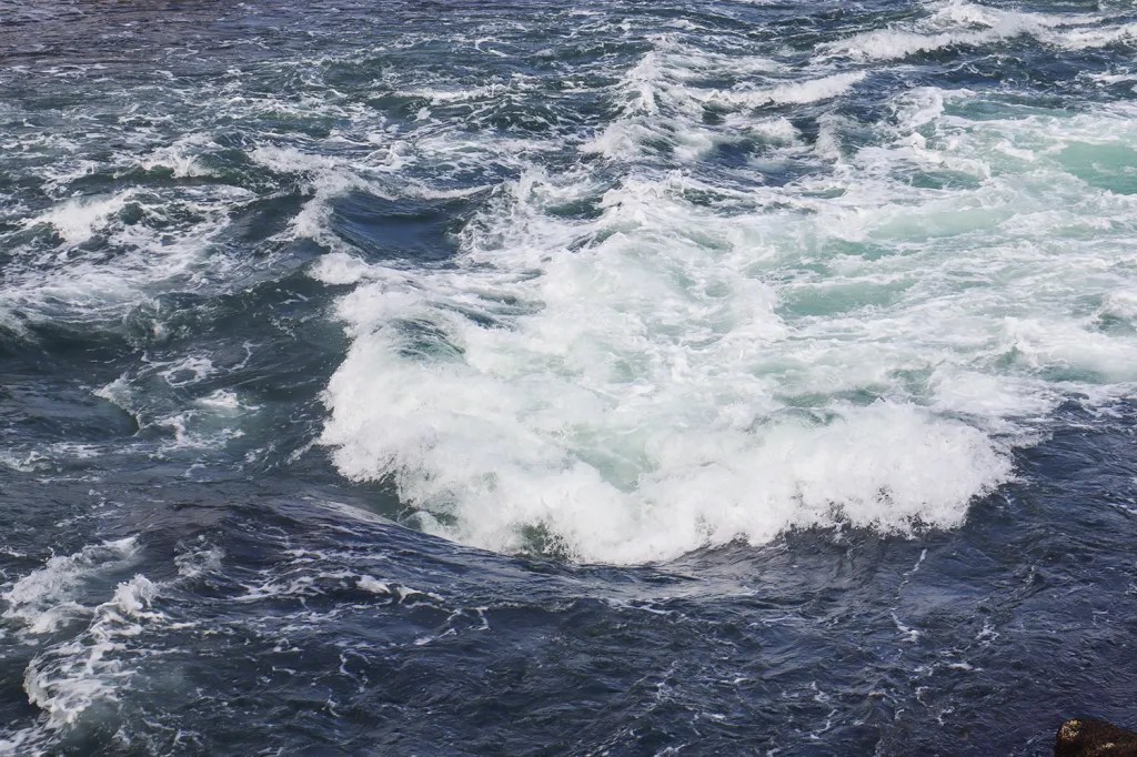
Less than a third of a mile south of The Nub lies a rare natural oddity: the Blue Hill Reversing Falls. This is a phenomenon present in just eight places along Maine’s coast in which the direction of the waterfall changes with the tides. Blue Hill’s falls are a result of Salt Pond to our west, and due to their long width and relative calmness compared to other rapids, they’re a very popular spot for local kayakers to learn the sport.
Interestingly, ME 175 is the only state route to pass through multiple of these reversing falls, so we’ll be seeing this phenomenon again on the other side of the peninsula!
Brooklin
A bit further south and we reach the town of Brooklin. Contrary to its well-known New York counterpart, this Brooklin is the smallest town on the Blue Hill peninsula, with ME 175 being the only numbered route to visit its borders. This also marks the southernmost point of what is marked as “South” 175, before the road turns back north for the majority of its route.
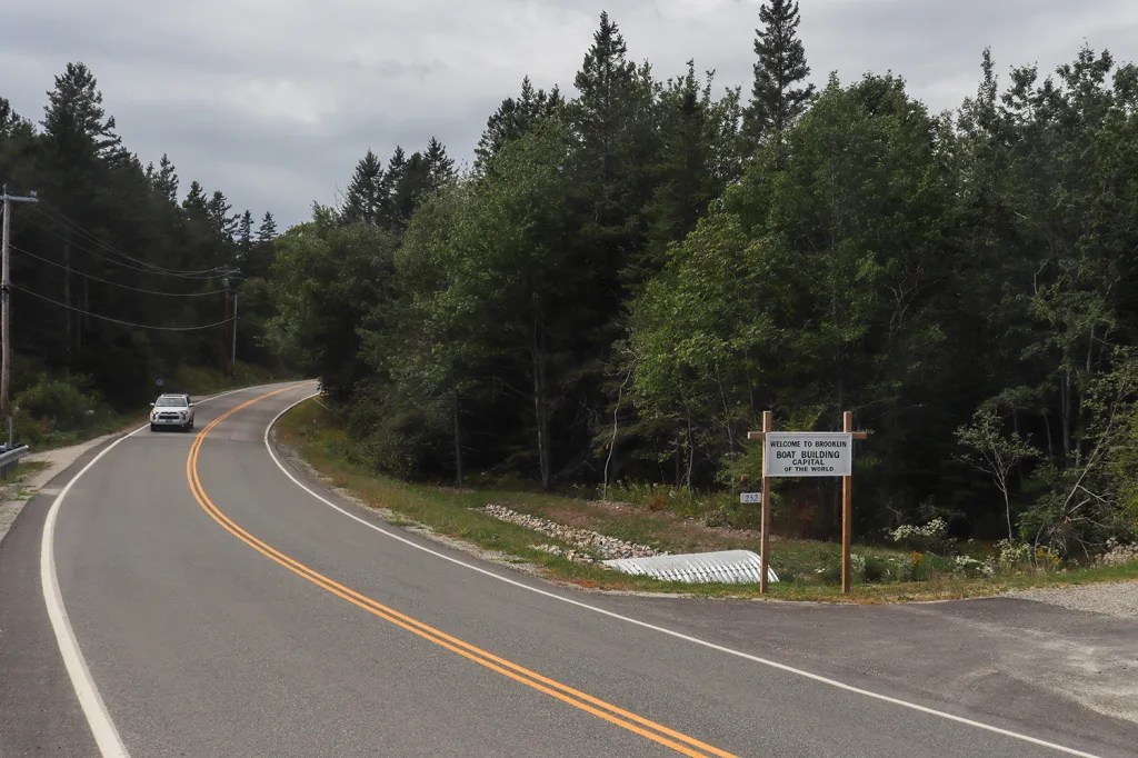
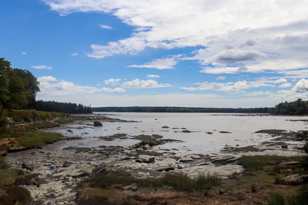
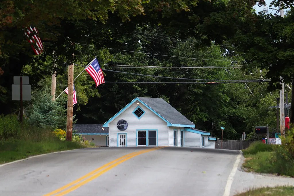
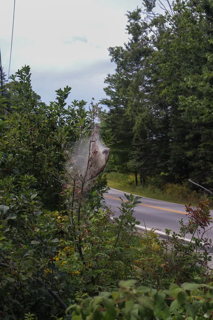
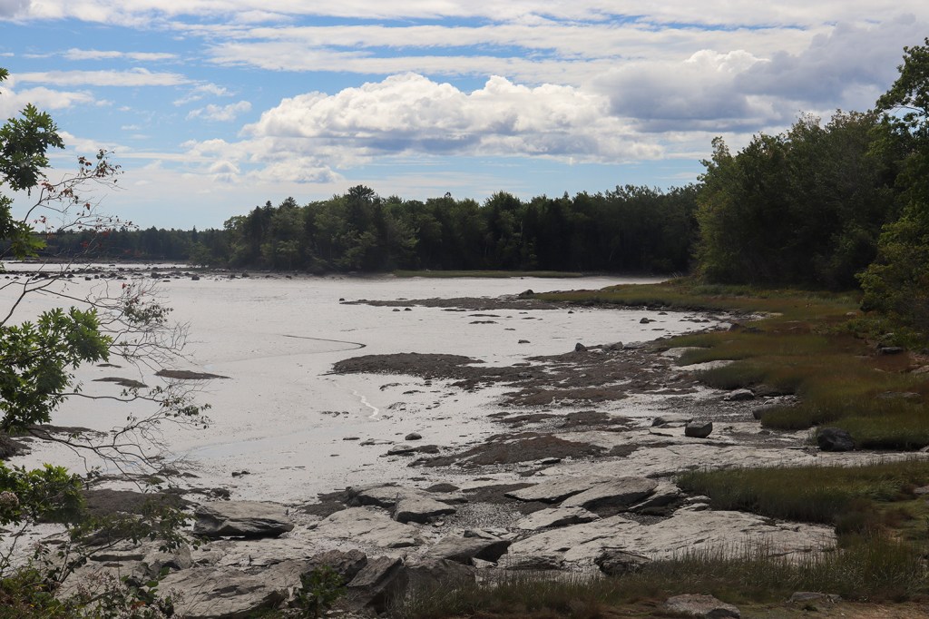
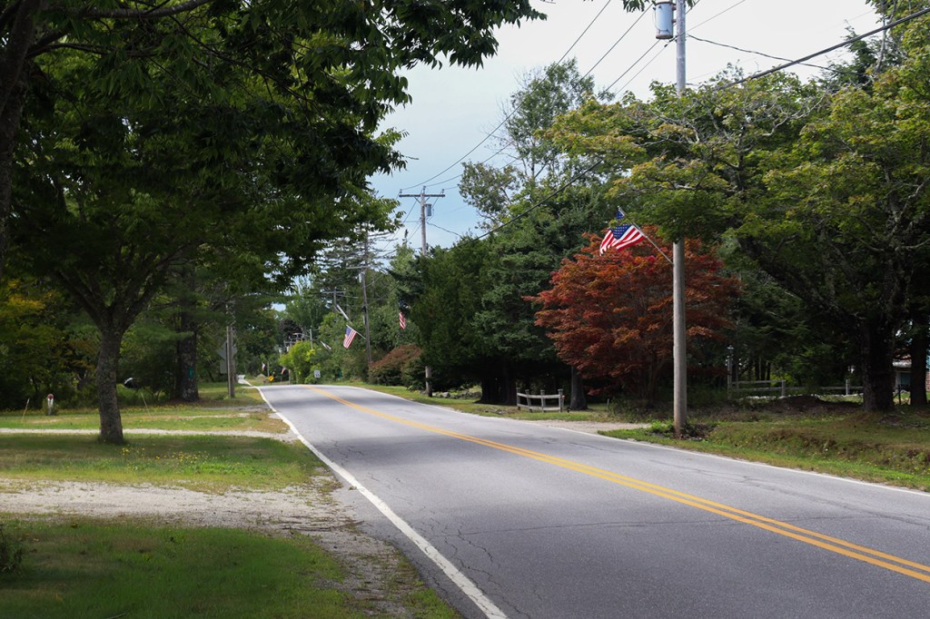
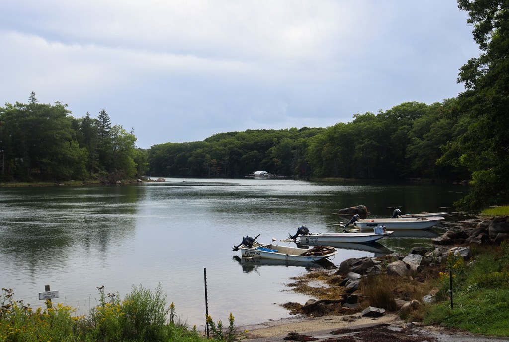
Brooklin definitely has the feel of a tiny coastal town, and even with the fair happening just one town north, we spotted exceedingly few other cars on this stretch (seriously, I was lucky to even get one in a picture). But the quiet just served to emphasize the beautiful views between the trees of Eggemoggin Reach, the calm strait between the Blue Hill Peninsula and Deer Isle.
The town does have one claim to fame though, as it’s locally known as the “Boatbuilding Capital of the World.” When I first saw this sign on the road I had to find out more, and as it turns out, Brooklin has a long history of wooden boatbuilding, and is even home to the renowned WoodenBoat School.
Sedgwick
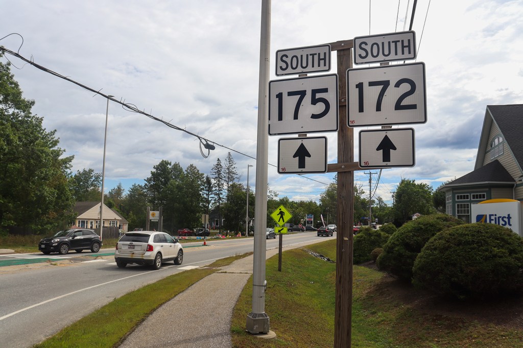
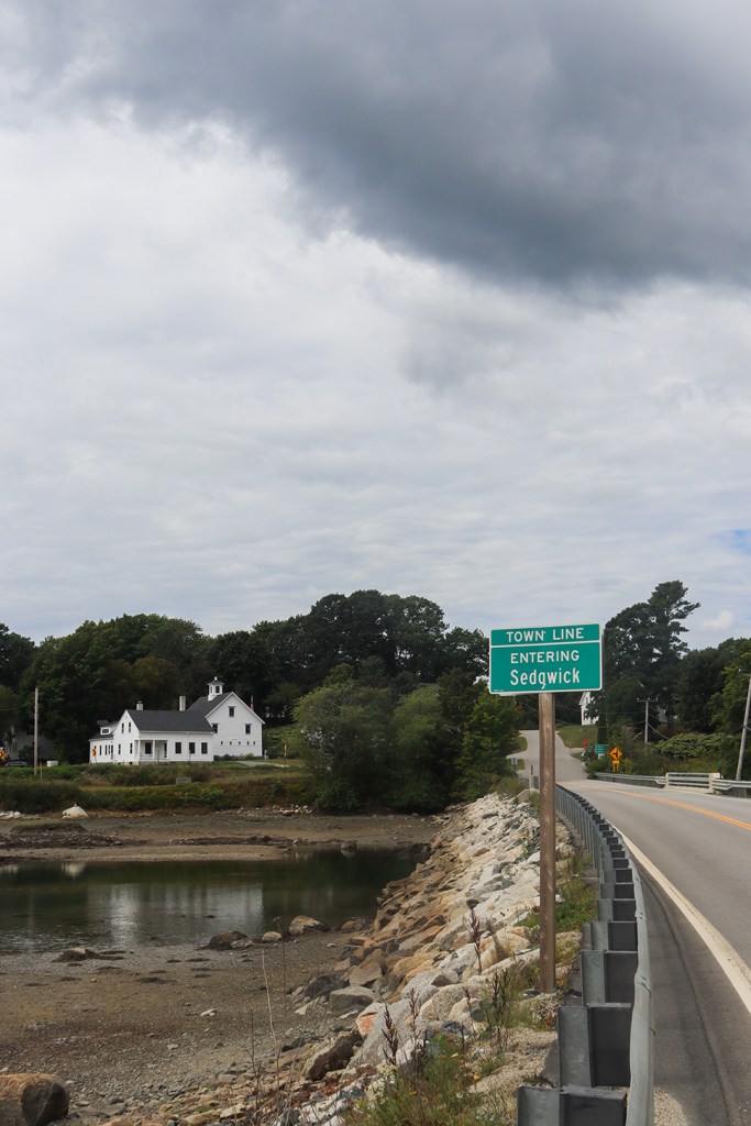
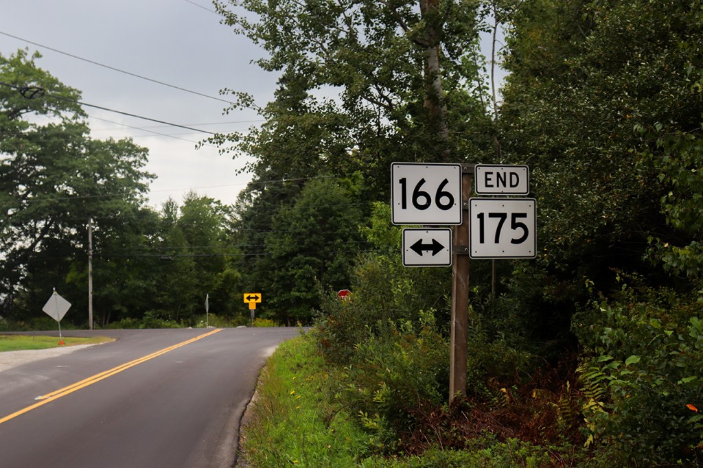
Something very strange happens when we reach the border of Sedgwick. Starting here, the direction of travel on ME 175 officially changes from South to North on the route’s signage. This is something I really haven’t seen any other routes do in New England, and not even Mount Desert’s ME 102, a route that quite literally loops in on itself, featured this change. That’s the sort of weird geographic character I love to see in a One Road!
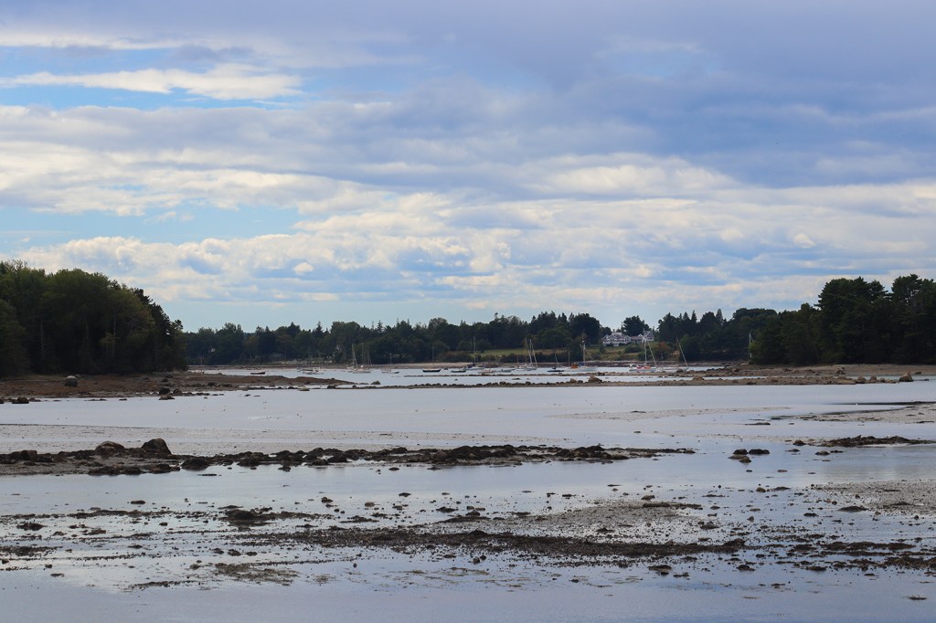
The town of Sedgwick itself, of course, was just as beautiful as what we’ve been seeing so far. The eastern border of the town, where we stopped for these photos, follows the mouth of the Benjamin River, which allowed for a great view south to the town’s two prominent points – Mean Point and Carter Point. We also met back up with the southern terminus of ME 172 here, marking off the first of the four routes we saw at the beginning of the trip.
Caterpillar Hill
Maybe the biggest surprise of the route is coming up through the northern portion of Sedgwick and reaching an opening with one of the clearest mountain vistas of the Downeast. ME 175 turns north after meeting back up with ME 15 (another route spotted), and climbs nearly 400’ in elevation to the top of Caterpillar Hill.
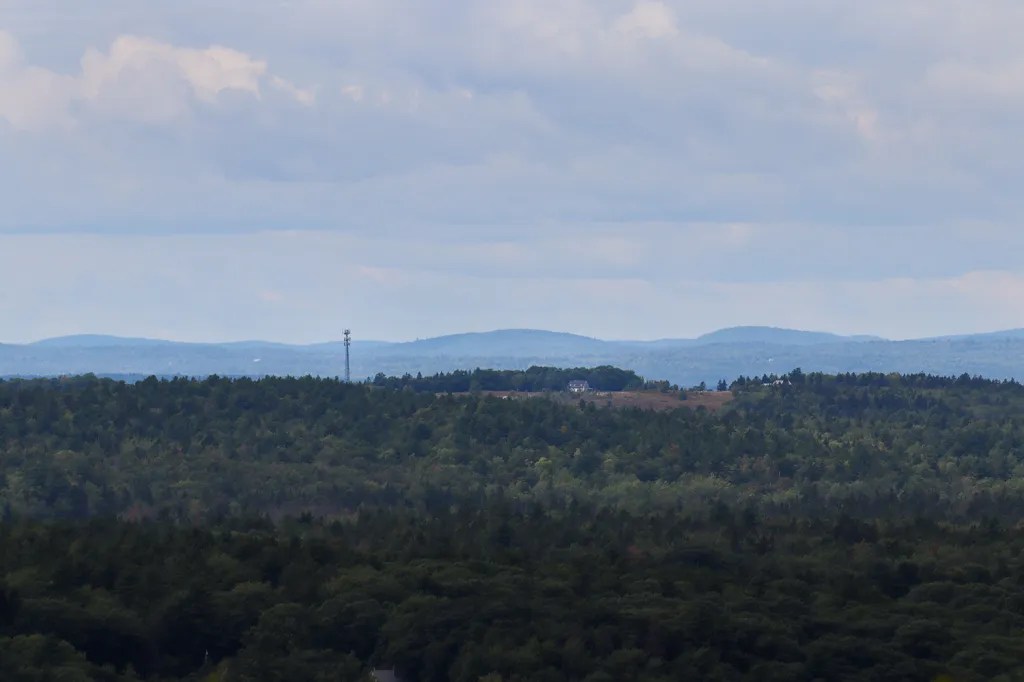
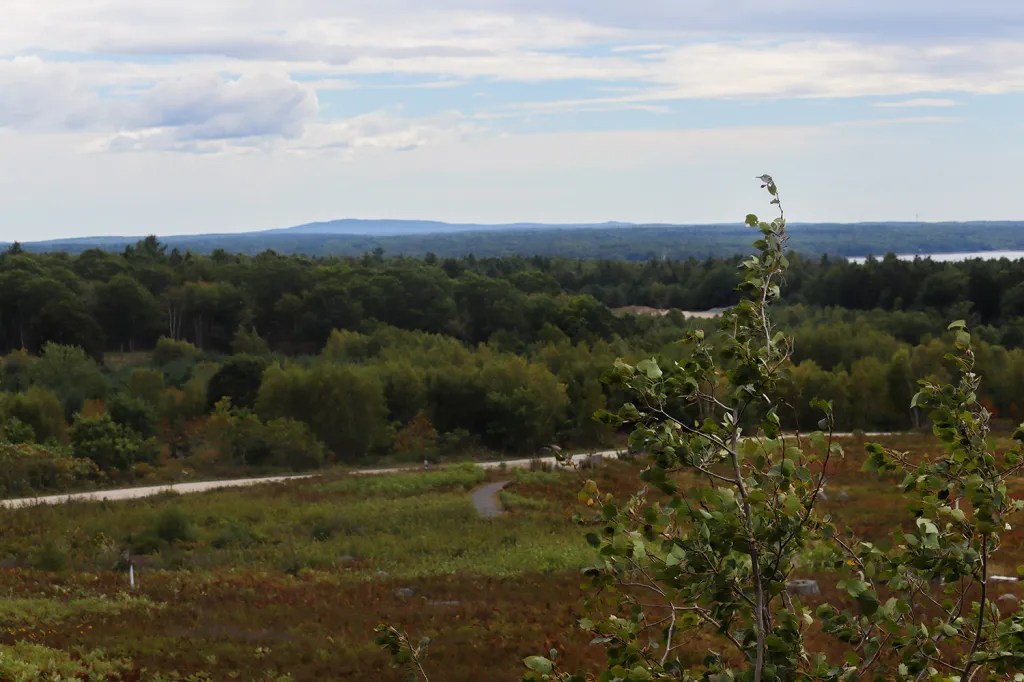
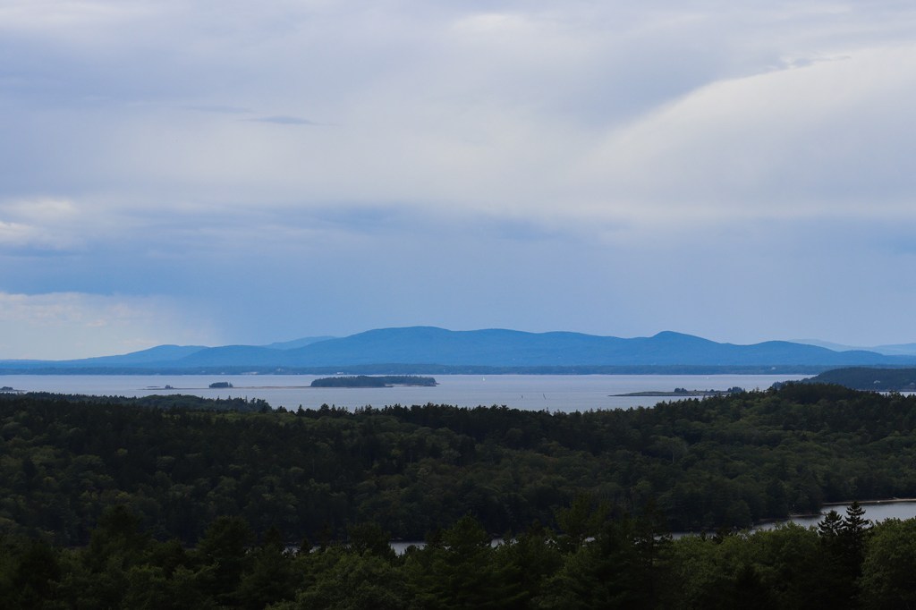
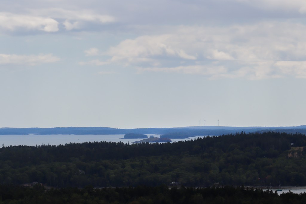
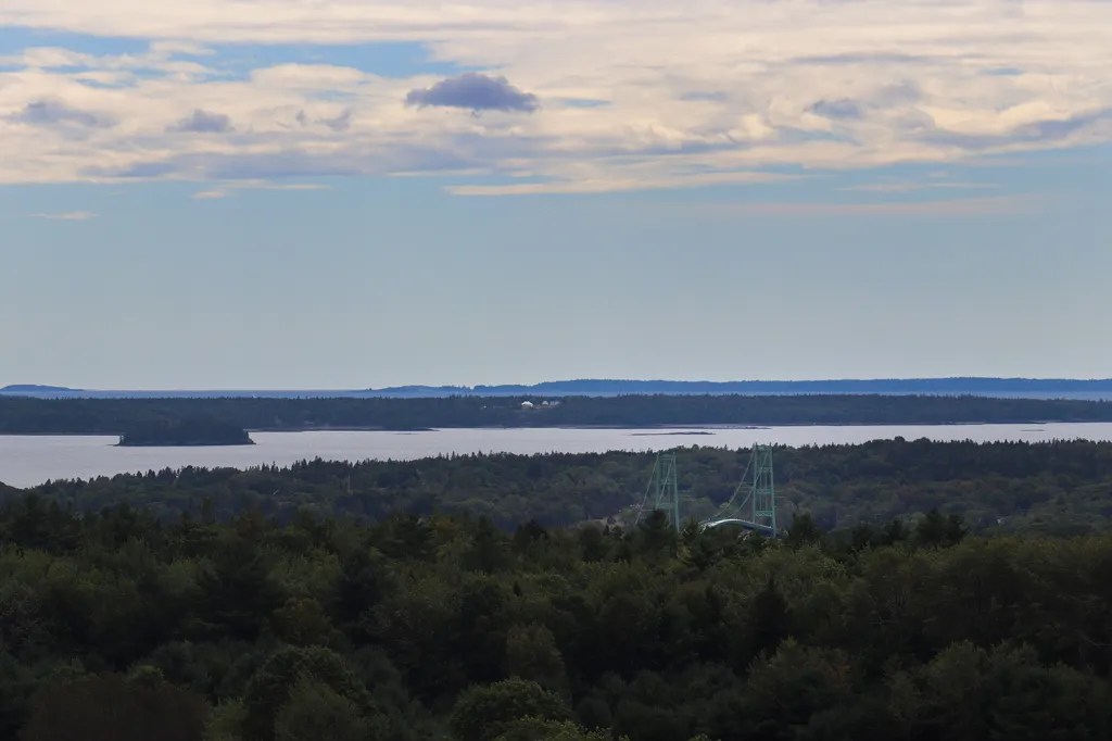
From here, you can basically see every major landmark in the Penobscot Bay region. To the south, the majestic green suspension bridge to Deer Isle pokes over the trees. To the north, the massive Penobscot Narrows Bridge can be seen as well. And due east is the entire range of the Camden Hills, the tallest set of mountains in the Midcoast. On a day like today, which was mostly clear, you can genuinely see over 30 miles of Maine’s coastline in one view.
Bagaduce Falls
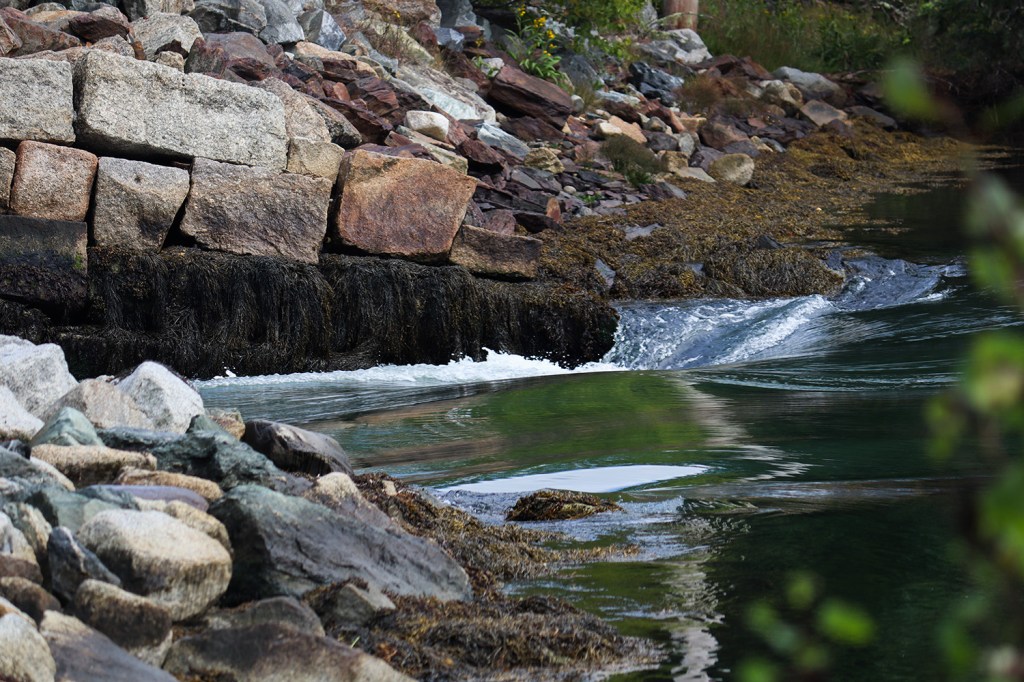
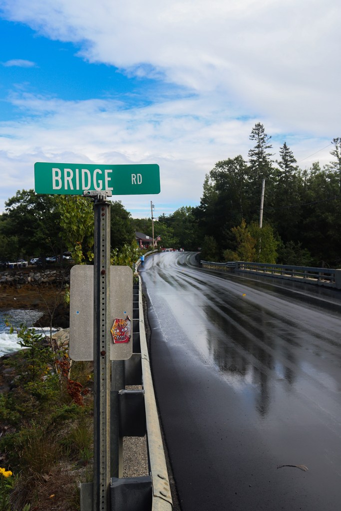
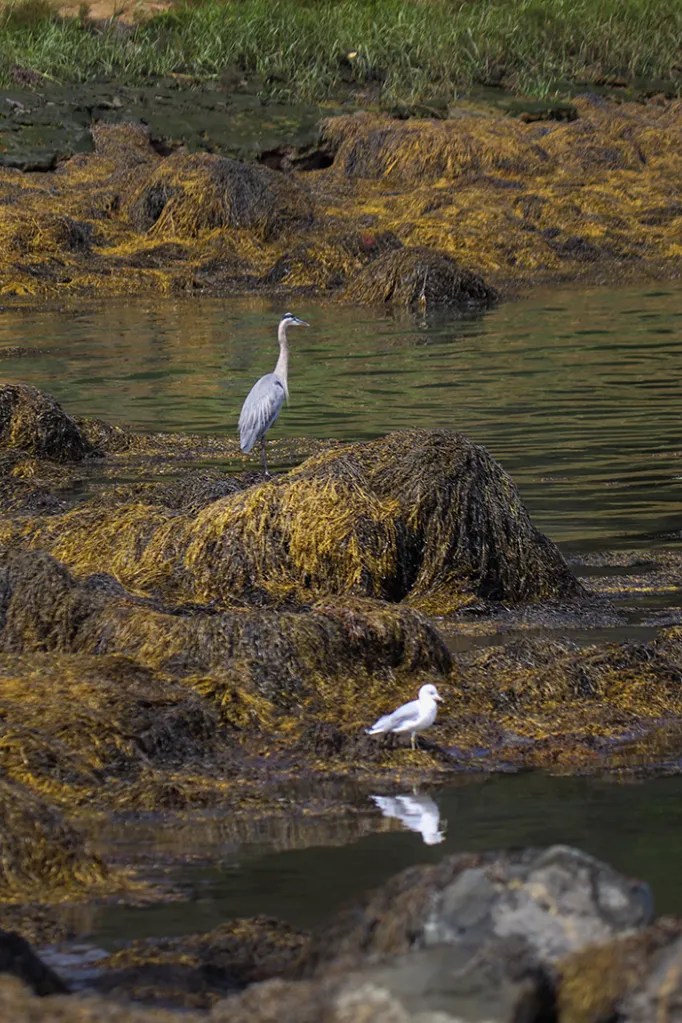
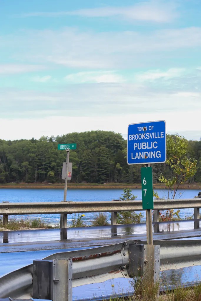
After ME 175’s weird little detour through the town of Brooksville, we finally reached the second reversing falls of the trip at the mouth of the Bagaduce River. While this one didn’t have as dramatic of a wave as Blue Hill’s falls had, it was still really impressive to see compared to how calm the rest of the river was on either side of Bridge Road.
Let’s be honest though. The real treat of reaching Bagaduce Falls was what was sat next door: Bagaduce Lunch. This is one of the most famous and awarded seafood shacks in New England, and we just so happened to be here on the last day of their 80th season, so of course we had to stop by. For anyone curious, we had some amazing fish and chips and fried clams, and the pistachio ice cream we ordered on the way out might genuinely be my favorite soft serve I’ve ever had!
Penobscot
Leaving Bagaduce, ME 175 quickly turns left at its intersection with ME 176, the route’s sister road that travels a similarly windy path along an east-west direction instead. And not long after that, in the village of South Penobscot, we find the end of ME 177 as well. That’s all four of the routes we saw at the start now revisited along Route 175!
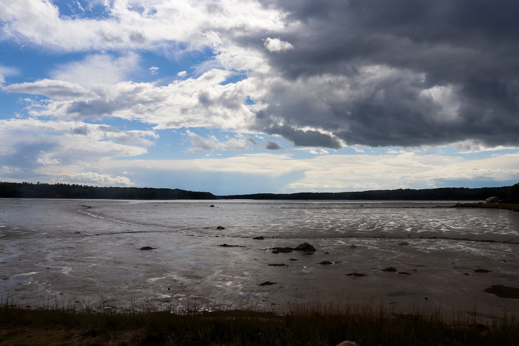
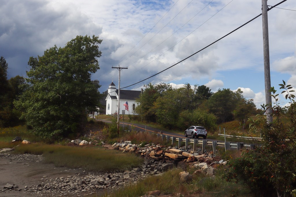
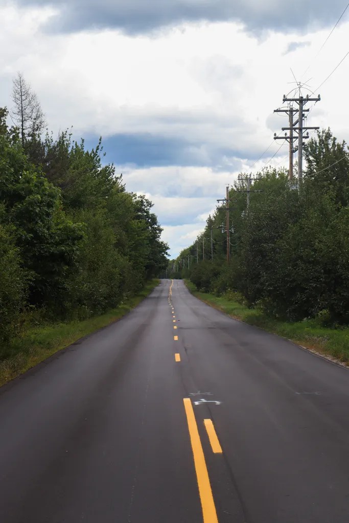
In Penobscot proper, we made one last stop before the end of the route at a pulloff overlooking Northern Bay. We saw a tiny bit of rain on the stretch before this, but now that the sun was shining again, the entire delta of the Bagaduce River and Seneca Brook was lit up for one last look south over the water.
Next week, it’s time to welcome fall with a long-awaited proper trip to Vermont. We’re seeking the answer to one simple question: How do the Green Mountains look without green?
Written and Photographed by Rin Gately. Edited by Keith Libby.


Leave a Reply