Washington County has always felt like a part of Maine that’s glossed over in most discussions of the state. It’s east of Acadia National Park, its largest city has barely over 3,000 people, and there’s no major interstates that run through to connect it to the rest of New England. It’s unfortunately both one of the smallest counties by population and the poorest county in Maine, and that lack of connection has led to it getting left behind on a lot of Mainer’s minds. Despite that fact, this county has some of the most beautiful environments across the state, and is the core of Downeast culture. I love visiting this region whenever I can, and today, we’ll be taking a trip down a small state route that visits many of this region’s forgotten natural wonders.
ME Route 191 serves as a connection between three of the region’s notable hubs, those being Calais, Machias, and Lubec. However, the route it takes skips the main part of each of these towns, instead acting mostly as a connecting road for the much smaller communities in the northern and coastal parts of the county. It winds through 60 or so miles in a fishhook shape, leading through woodland reserves, remote lakes, and some of the most scenic parts of the Downeast’s coastline.
I drove this road on a mostly clear day in mid-May, for once actually beating the weather which has rained on our parade for the past two posts. My dad also came along for the ride on this one, as he’s a fellow fan of Washington County and especially the scenery along the Cutler Coast. There were set to be storms across the Downeast that night though, so we had to make good use of our time to make sure the weather held out for the whole trip. That being said, it certainly didn’t stop us from taking our time here and there to really appreciate the landscapes we were traveling through!
This is our journey down ME Route 191.
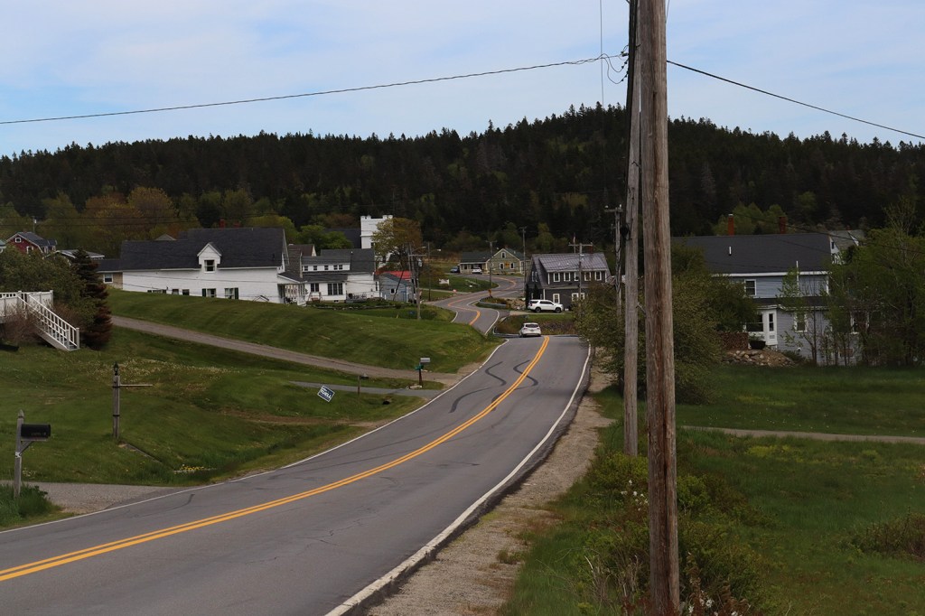
Baring
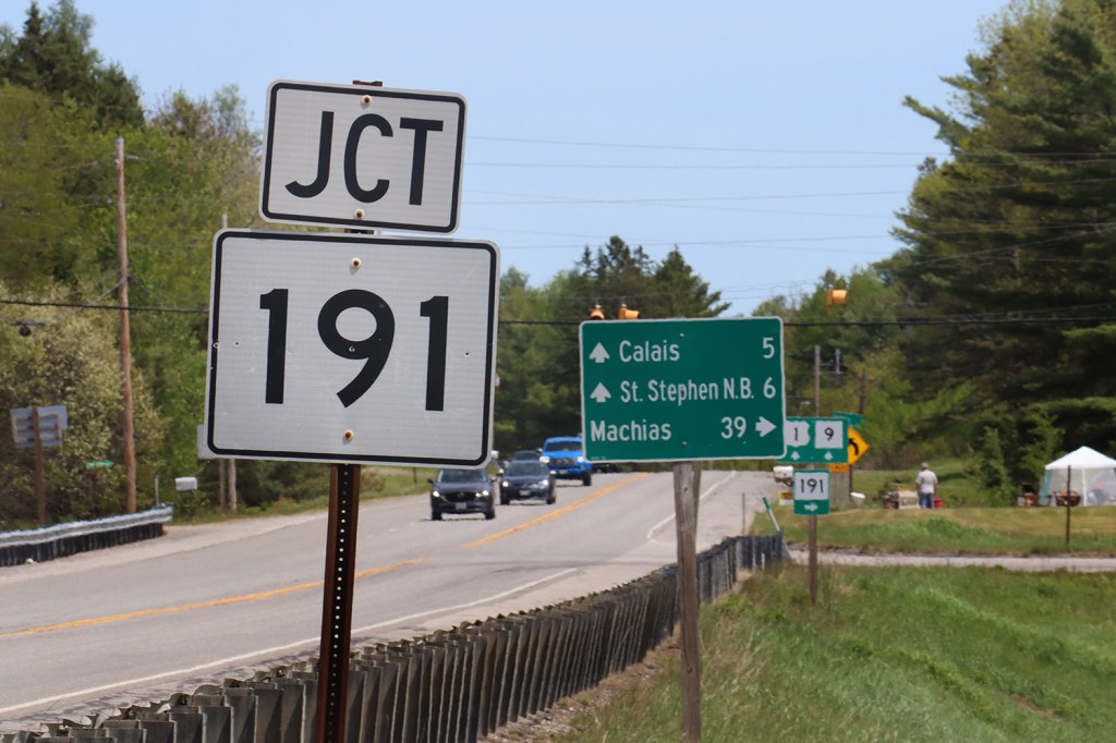
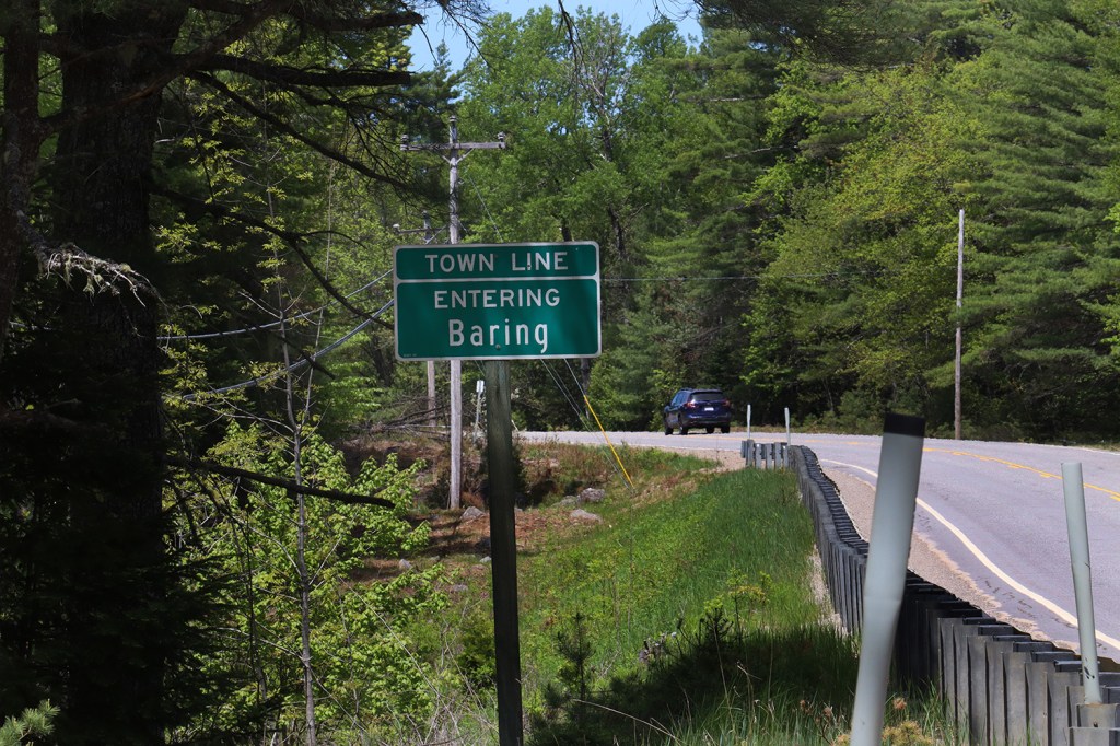
Route 191 starts close to the Canadian border in Baring Plantation, a tiny community of about 200 centered along the short stretch of US-1 between the eastern city of Calais and the Airline Road going west. It’s a simple start – just a small junction along an oft-traveled throughway for international truckers and those living along the St. Croix River.
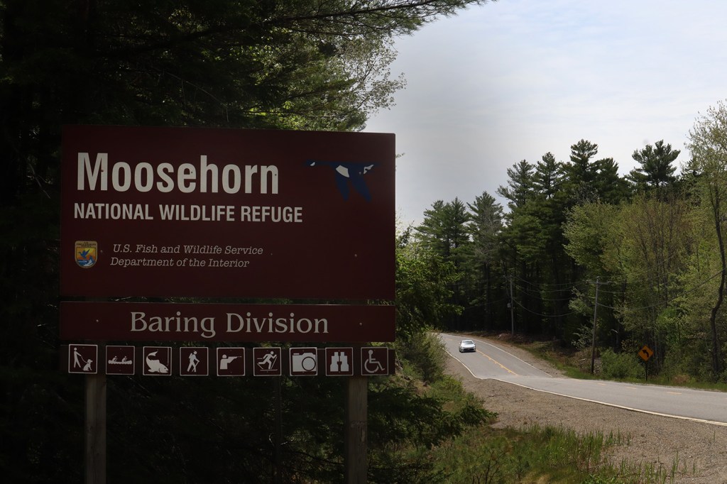
What’s especially interesting about Baring is what’s just a half mile south of this junction: the Moosehorn National Wildlife Refuge. This massive tract of reserved land is home to nearly 50 square miles of essentially untouched wilderness, and Route 191 is the only major road running through it.
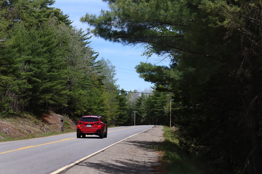
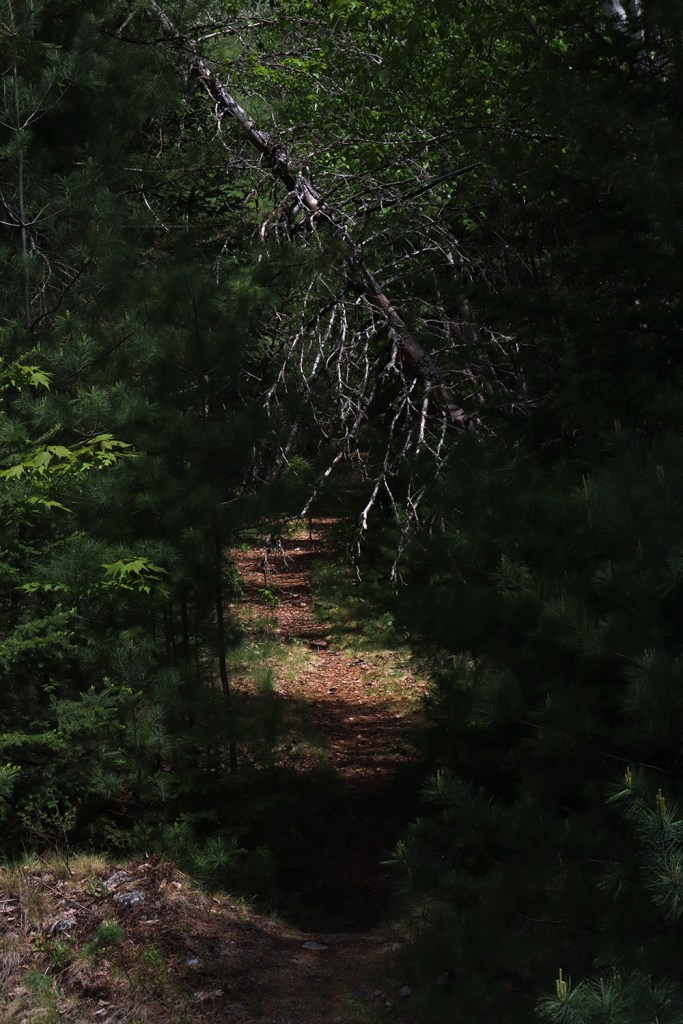
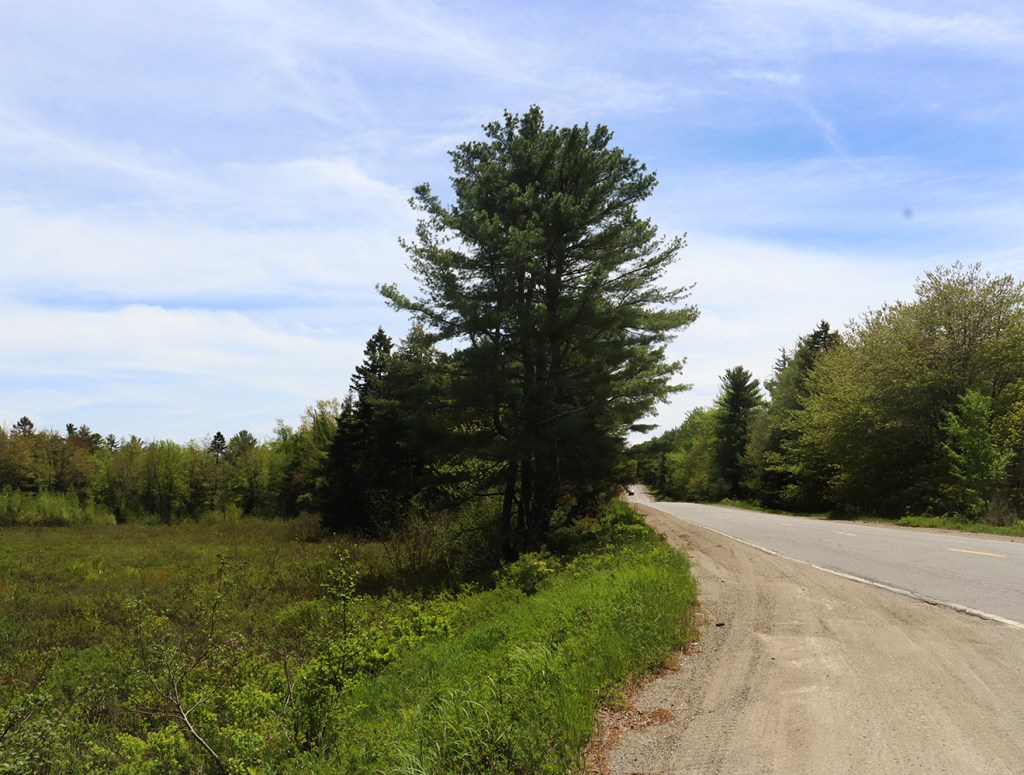
While the weather was beautiful here today, we didn’t see much in terms of wildlife. That could be partially to do with the storm that was set to roll through that evening, or more likely that we unfortunately didn’t have too much time to follow the trails away from the road due to said storm. But the views from the few parking areas along the road are beautiful on their own. The winding stretch leads right through woodlands, marshes, and even opens up towards the end with a view of Bearce Lake.
Meddybemps
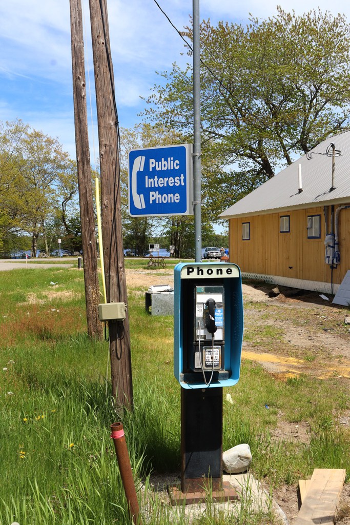
Meddybemps is one of my favorite little towns in Maine, and that’s not only because it has one of the most fun names to say. This town, with an even smaller population than Baring Plantation, is like a time capsule in the best way possible. Most of the buildings by the town’s center have maintained their historic farmhouse-esque architecture, the historical society has a wonderfully 90’s-style website (that unfortunately hasn’t been updated since 2015), and there’s even still a pay phone! In 2023, the Bangor Daily News reported that there were less than 50 payphones left in the state, and I can only imagine how low that number’s gotten since.
There is some change coming to the town though, as on the day we visited, the Meddybemps Country Store was well into its construction. This shop used to be known as Palmeter’s, but that closed sometime after 2011 and has left the community without a local grocer since. It’s good to see this option finally return to the folks living here.
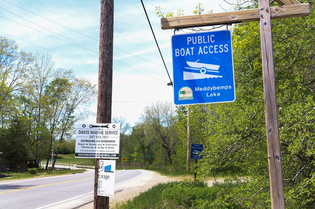
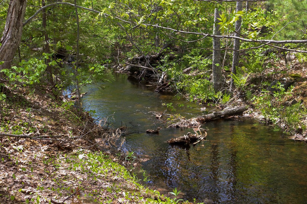
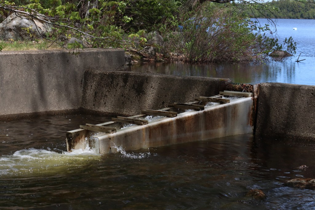
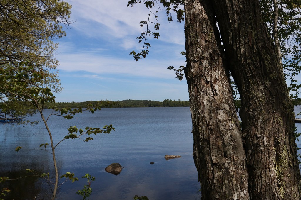
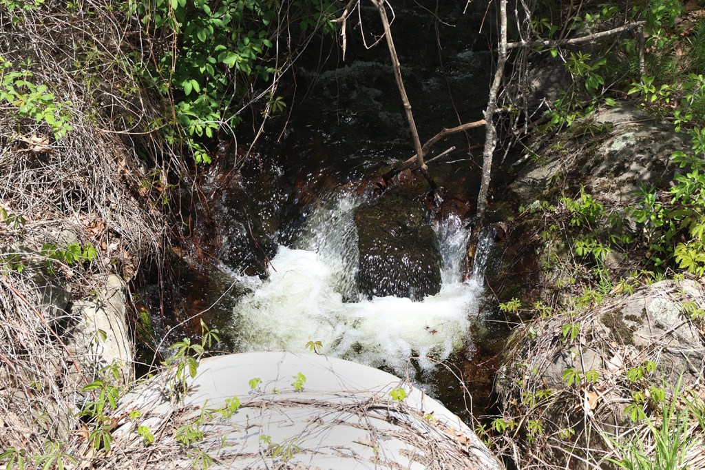
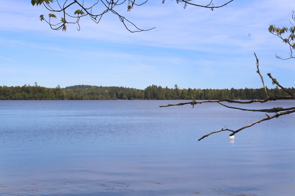
Perhaps the biggest reason to visit Meddybemps on a trip is to check out the massive Meddybemps Lake, which stretches north back into Moosehorn. The views from the boat launch are incredible, especially on a clear spring day such as this. Of course, my interest was especially piqued by the small dam on the nearby Denny’s River, which has a slotted design resembling a small aqueduct I haven’t seen anywhere else in New England.
Cathance
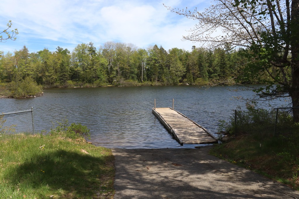
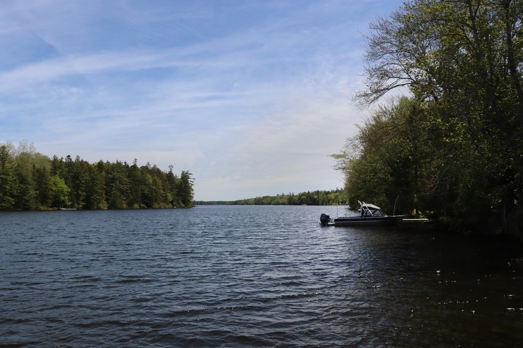
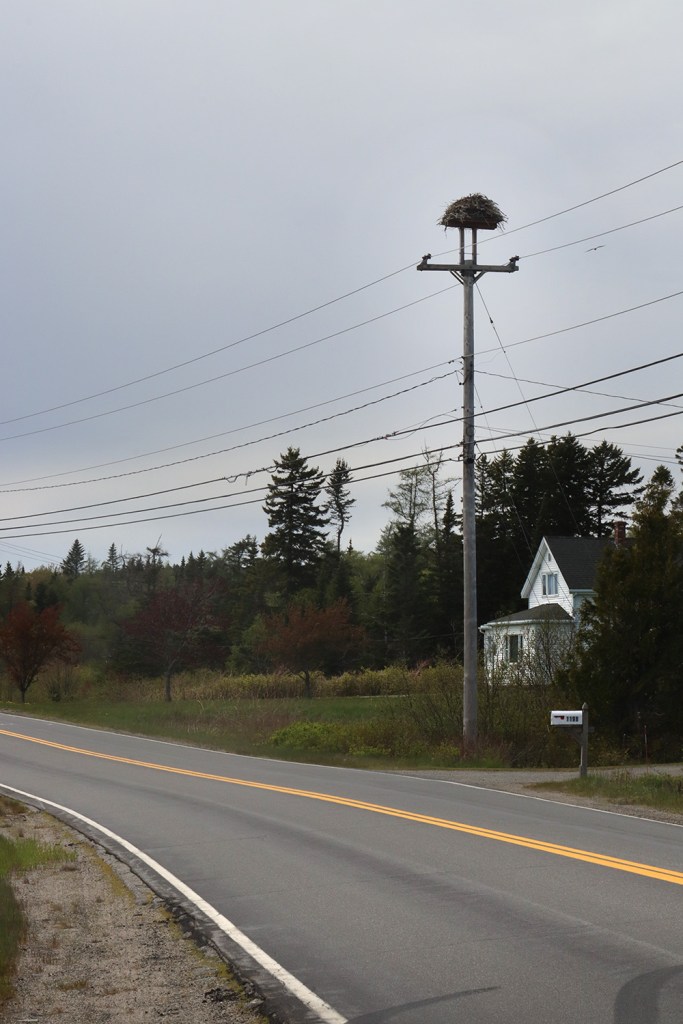
The road between Meddybemps and the coast is pretty empty, as it runs through a few even smaller communities before getting to East Machias. One such place is the unorganized Cathance Township, which features another big lake for us to take a walk down to. From the boat launch at Provost Point, only a fraction of Lake Cathance is visible. But what we can see is absolutely gorgeous to view from the attached floating dock.
Google Maps unfortunately has a huge lack of data on this lake, even labelling it with the false name of “Big Inlet,” and there’s not many pictures online outside of an old rental website. This is a place I’d love to come back to someday with a camera and a boat to really give it some photo coverage, but for now, this small taste of the lake will have to do.
East Machias
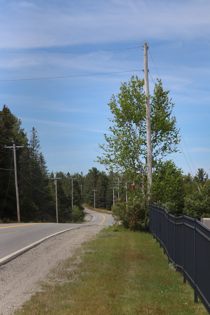
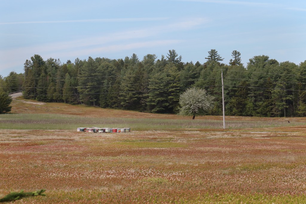
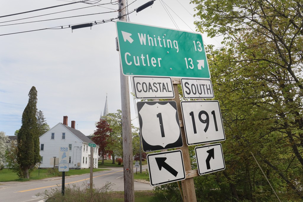
After winding further south through the rural woods of Washington County, Route 191 meets back up with US-1 for a second time across a small bridge in East Machias. Before we got there, we stopped in the roadside Jacksonville Cemetery to get a look at a few of the blueberry barrens this region of Maine is perhaps best-known for.
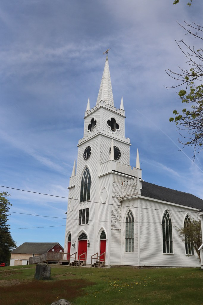
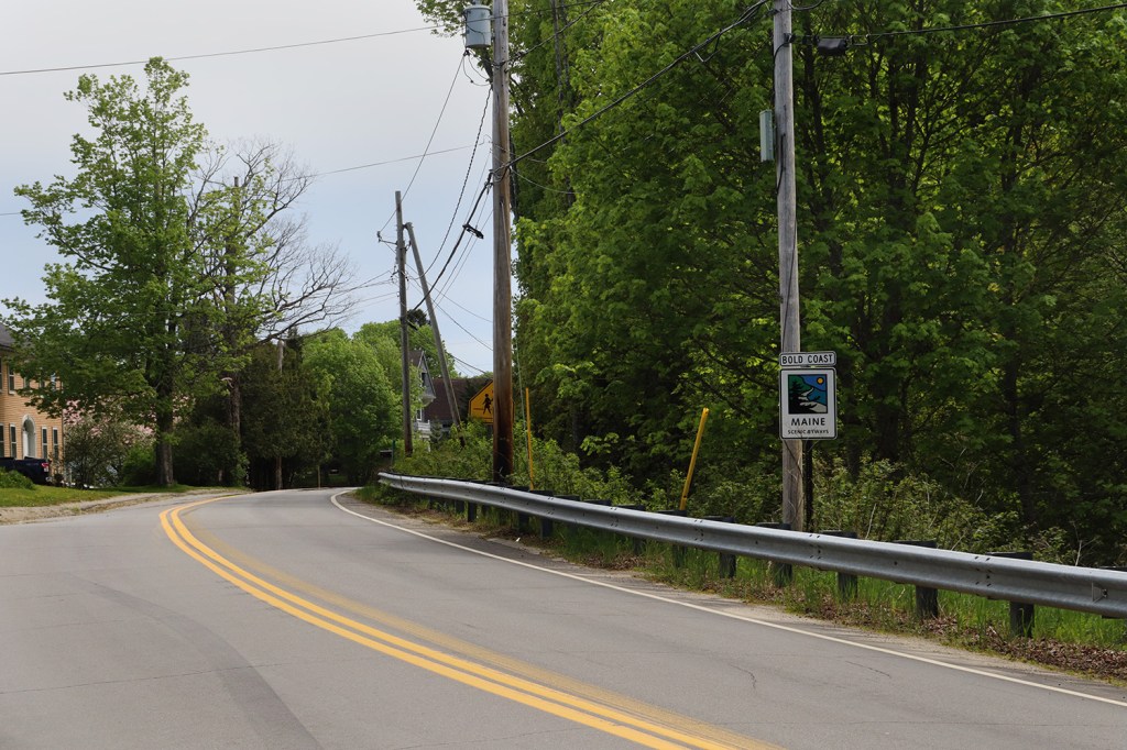
East Machias is by far the largest town Route 191 visits, but that’s not saying much with a population of just over 1,300. There’s definitely a different feel to this community than the others on the route though, as you can definitely feel the influence of nearby Machias with some extra housing density and a clear-cut town center. This is also the only town along the route to feature a hilltop church steeple, which is usually a common sight in a lot of small- to medium-sized Maine towns.
A Short Pause for Birds
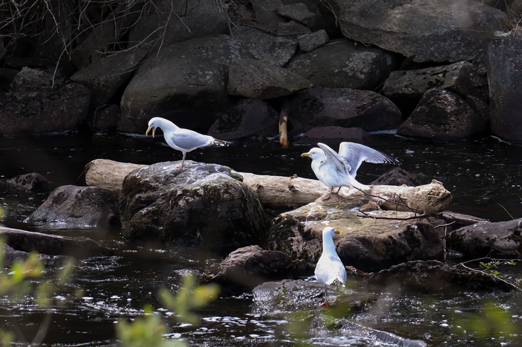
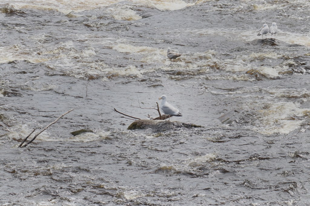
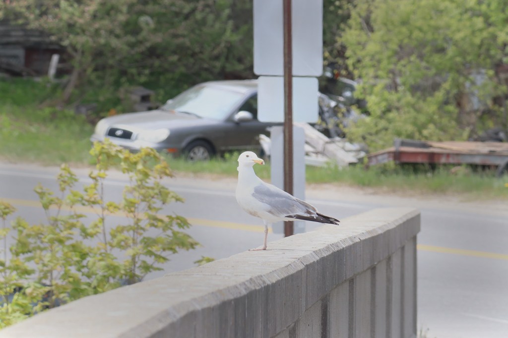
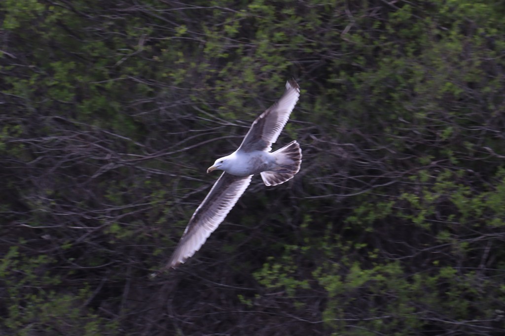
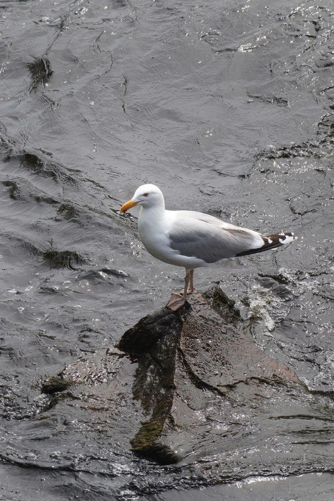
That’s right, it’s finally time for the second edition of one of my favorite segments! Here in the East Machias River Reservoir, there was a massive flock of seagulls hanging out along the rapids. Here’s a bit of what they were doing there:
Holmes Bay
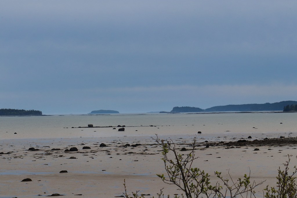
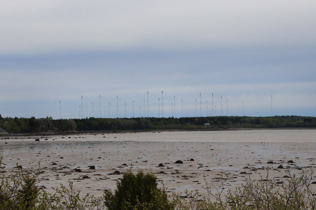
One of the weirdest sights along Route 191 is here on a small mile-and-a-half or so stretch through the town of Whiting along Holmes Bay. In the distance, there’s a massive network of what looks like large cellular towers reaching out into the ocean.
This area is actually a naval telecommunications base known as VLF Transmitter Cutler, which has been used since the 1960s to send radio signals to submarines across the Atlantic. The massive towers are set up to transmit location and communication data quickly at a low frequency, and there are two full arrays so communication can continue nonstop. According to Wikipedia, this has been the only one of its kind on the East Coast since 1999.
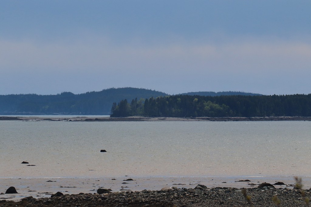
Obviously it’s impossible to get a closer look at the towers without clearance from the military, so these far-away shots are the best we’ll get for now. But the rest of the view of Holmes Bay is beautifully scenic Downeast coastline, so I’m certainly not complaining here.
Cutler
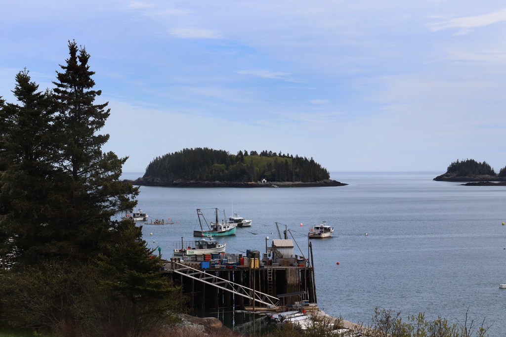
Cutler is the namesake of this coastline region for a reason. Coming around the corner at the outlet of Little River, Route 191 opens up to an absolutely stunning view of Cutler’s port.
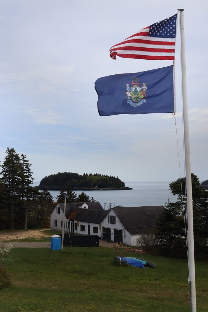
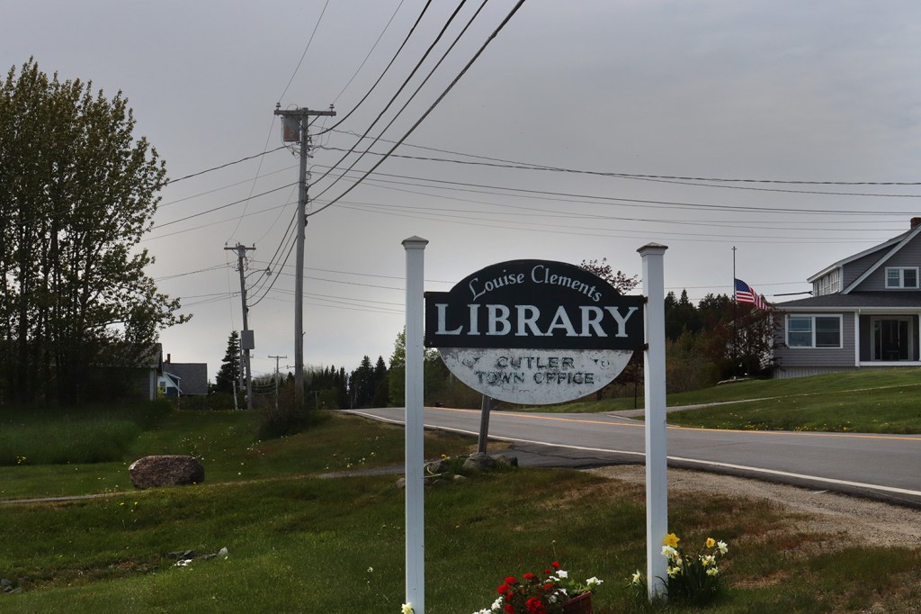
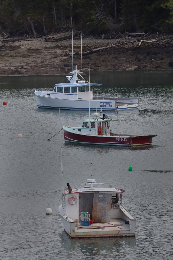
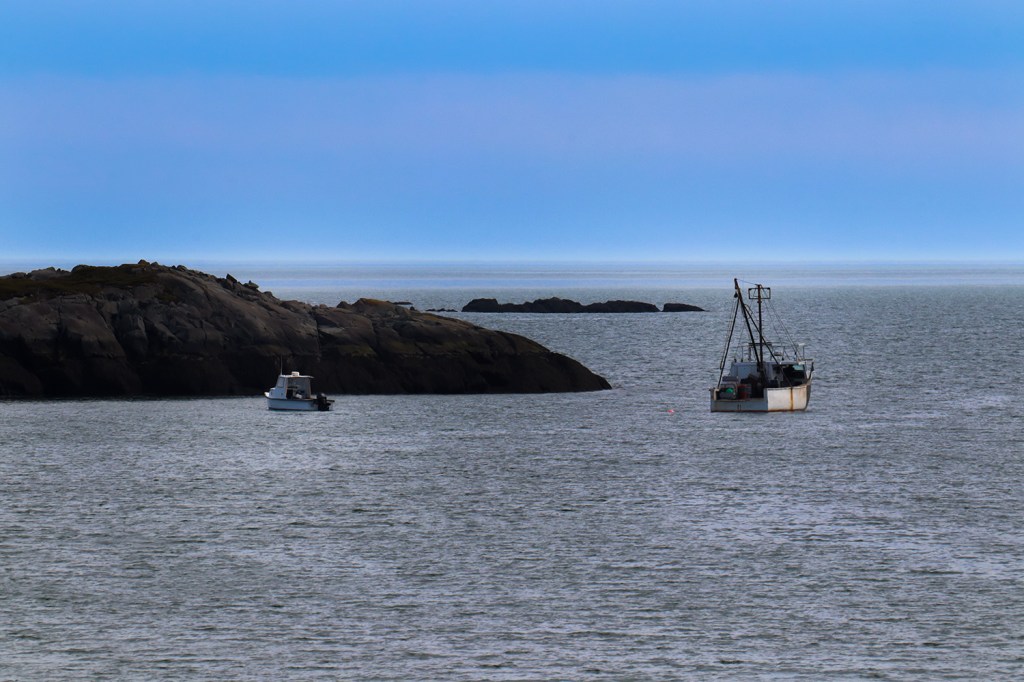
If you’ve seen a photo of the Cutler Coast in the past, this is likely where it was taken. We stopped in Cutler’s town office and library to take in the views. There were plenty of fishing boats out on the water today, although it seemed like most of them were docked for the day.
Alongside the water, Route 191 rolls through town until reaching a very sharp turn at the end where we start traveling back north. This turn is so sharp that it’s one of Maine’s rare few instances of a 15mph speed limit! Just north of this though is the beginning of the Cutler Coast Public Reserved Land, another large reservation stretching along Cutler’s eastern border until Holmes Cove.
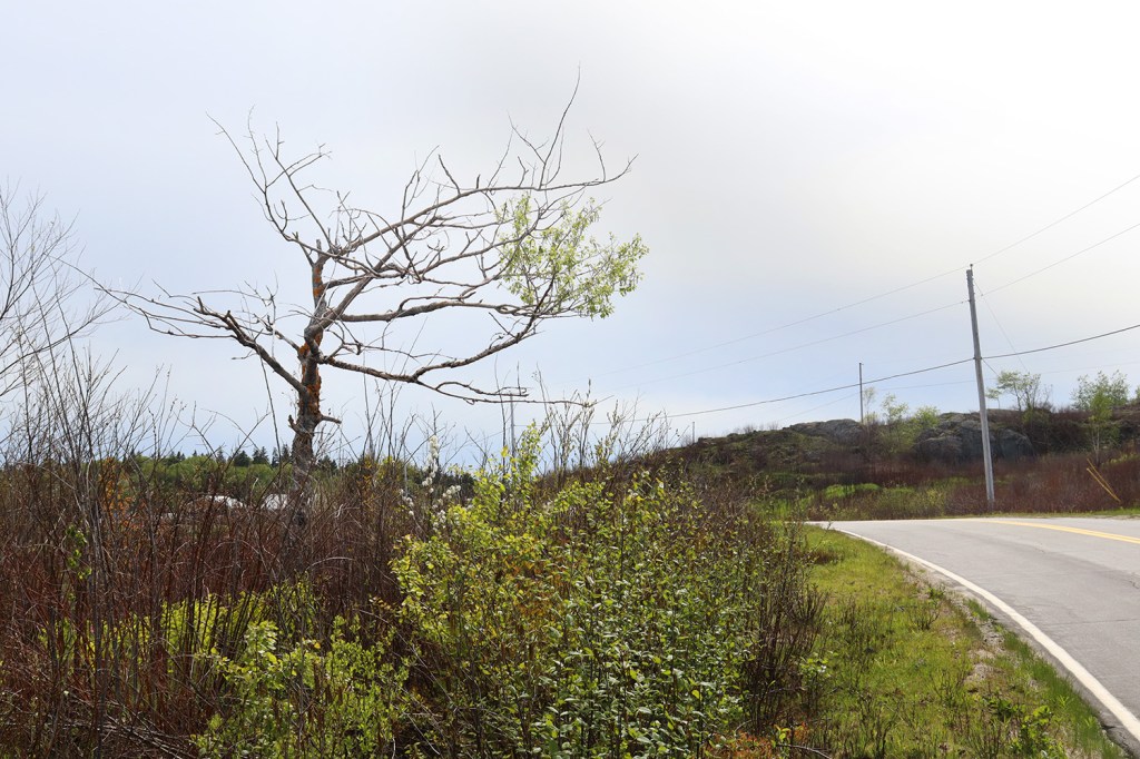
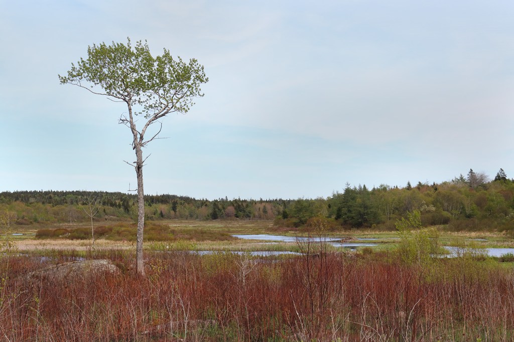
We stopped by a bit of marshland on Schooner Brook and walked up a short abandoned road to get a better view of the area. While the road itself is entirely west of the trails, this clearing gave a small hint of what the reserve has to offer.
Bailey’s Mistake
This location is just a bit off of Route 191 on Boot Cove Road in the village of South Trescott, but I couldn’t miss an opportunity to visit something called “Bailey’s Mistake.”
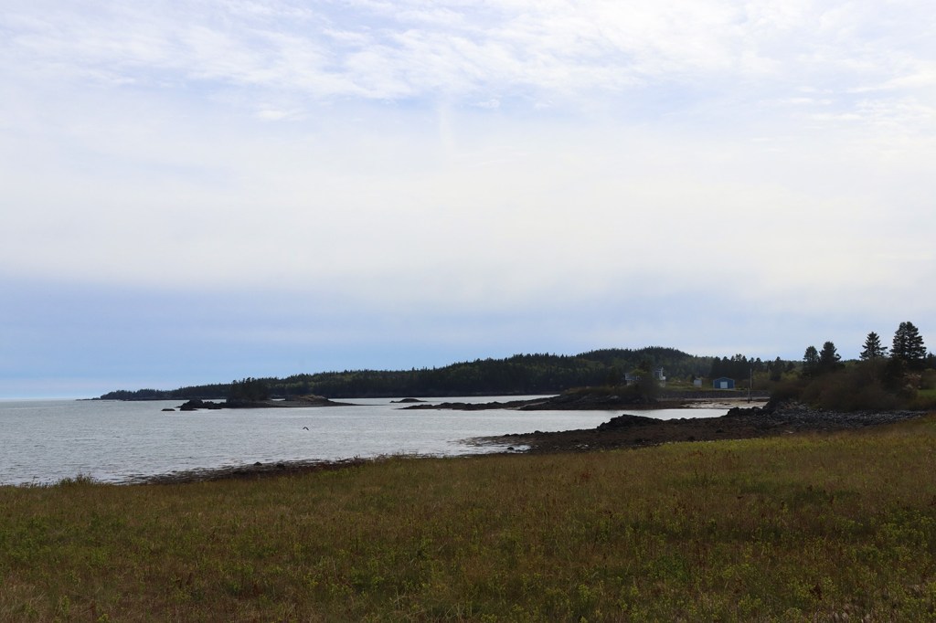
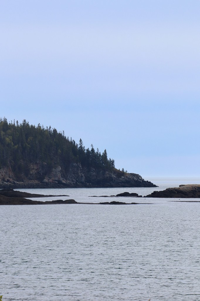
It’s a cove about 6 miles west of Quoddy Head, the easternmost point in Maine and the entrance to the port towns of Lubec and Eastport. According to a local legend, a Boston man named Captain Bailey ran his lumber ship aground here in the 18th century, and instead of continuing the few more miles to Lubec, he and his crew decided to stay and live by the wreck. The cove later came to be named for his embarrassment, and there’s even a Maine celtic folk band by the same name!
No matter the validity of Mr. Bailey’s story, I can’t blame the man for starting his impromptu retirement in a place with these kinds of oceanfront views.
West Lubec
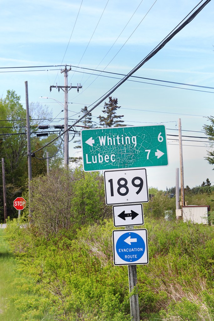
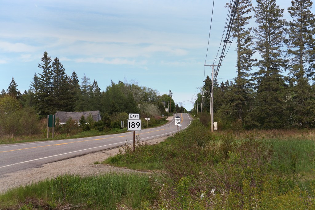
Route 191 ends in a spot that’s just as inconspicuous as where it began. After a short and relatively straight stretch of forest, the road meets up with Route 189 at a junction in West Lubec. From here, many will continue on to the Cobscook Bay views in the main part of Lubec or to the easternmost point in the country at Quoddy Head State Park. But for us, this is the end of our journey today.
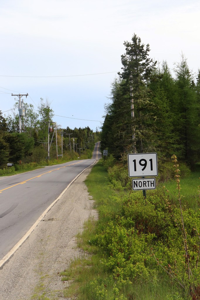
As one final bit of weird geography, our southbound journey has actually ended with us facing north. Outside of a small section of US-1 in Perry, this is the easternmost numbered north-south state route in the country, entirely due to its fishhook shape.
Route 191 has a lot more to offer than just the famous Cutler Coast, and all of it features some of the best views you can see in Washington County. But even if you’re just in the area to visit Calais, Machias, or the scenic Cobscook Bay just north of this final junction, I would definitely recommend taking a detour down some part of this road to experience just a bit of what it has to offer.
In the next post, we’ll move from the rural backcountry of eastern Maine to an urban hub of southern New England, as we take the one and only rapid bus route through one of the region’s biggest cities.
Written and Photographed by Rin Gately. Edited by Keith Libby.


Leave a Reply