In the original twelve-post run of One Road back in 2024, the first trip I recorded remains my favorite trip we covered: US Route 2 in Maine. Now, as we reach the tenth post since returning this year, I’d say it’s finally time we continued our journey west!
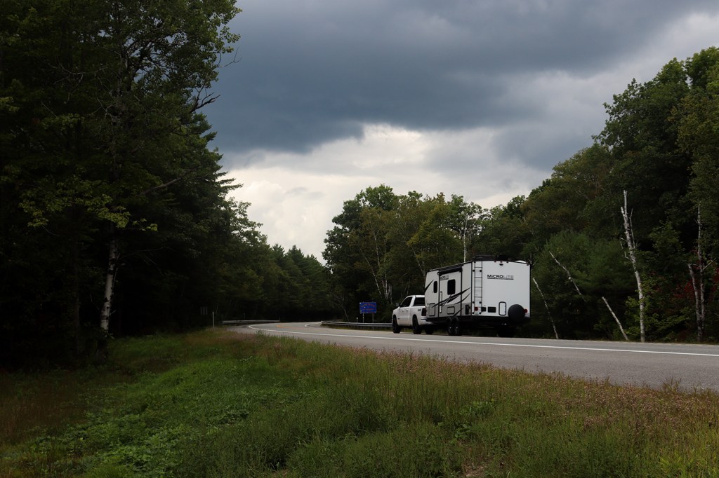
US Route 2 covers a pretty short distance in New Hampshire, only spanning about 35 miles from Maine to Vermont. Despite that, this segment of the route is one of the most beautiful and most visited of Route 2, as it runs directly through the White Mountain National Forest.
I drove this road at the beginning of September on a day when it was raining across most of the state. Luckily for us, it stayed mostly clear north of Mount Washington, but we still got to see some gorgeous cloud cover that offered a backdrop to the wild views of the northern Appalachians.
This was our journey down US Route 2 in New Hampshire.
Shelburne
In our last look at US-2, we followed the Androscoggin River for nearly 40 miles across the westernmost county of Maine until reaching the end of the road in Gilead. The Androscoggin is absolutely my favorite river in New England (sorry Connecticut, Charles, and Penobscot fans), so I was very happy to come see the 10 miles of its run I’ve yet to explore.
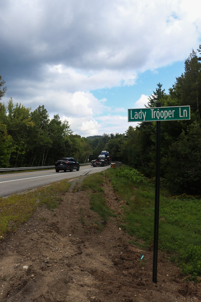
I started just a few hundred feet away from the border at Lady Trooper Lane, a dirt road connecting Route 2 to the southbound trails leading into Carlton Notch and Wind River. Unfortunately, since part of the road was washed out, I couldn’t grab another picture of the border sign this time.
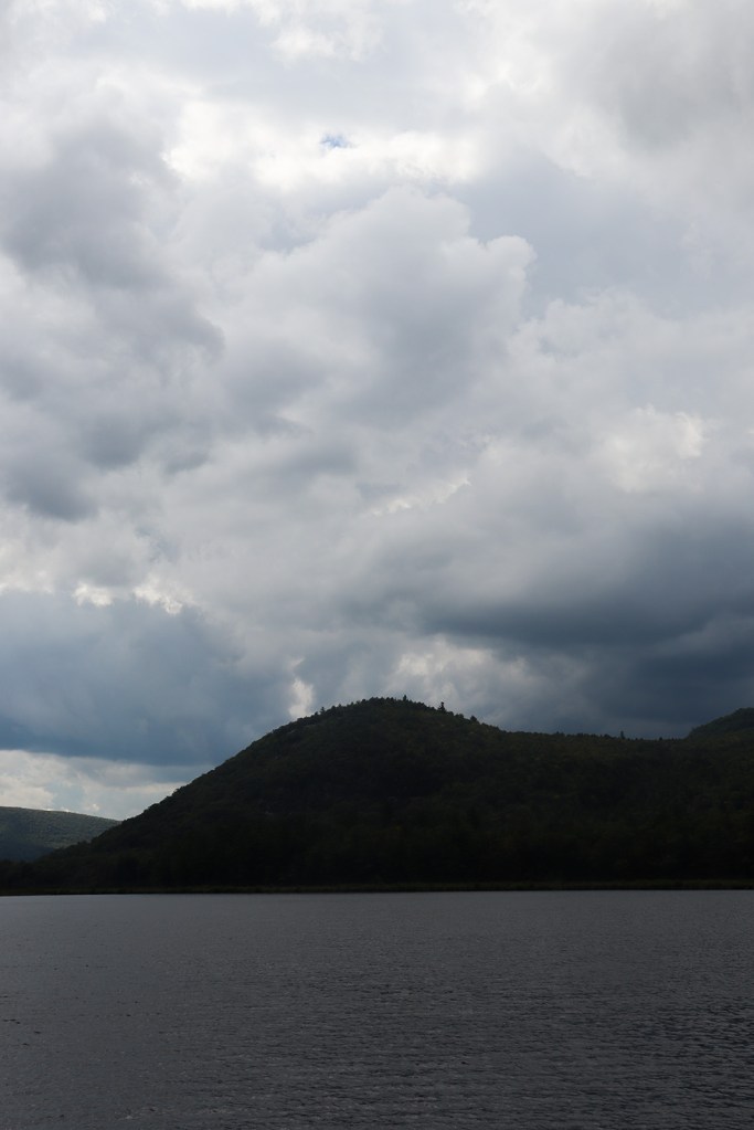
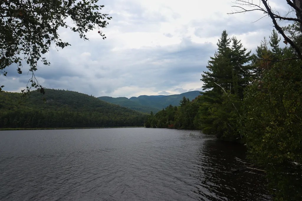
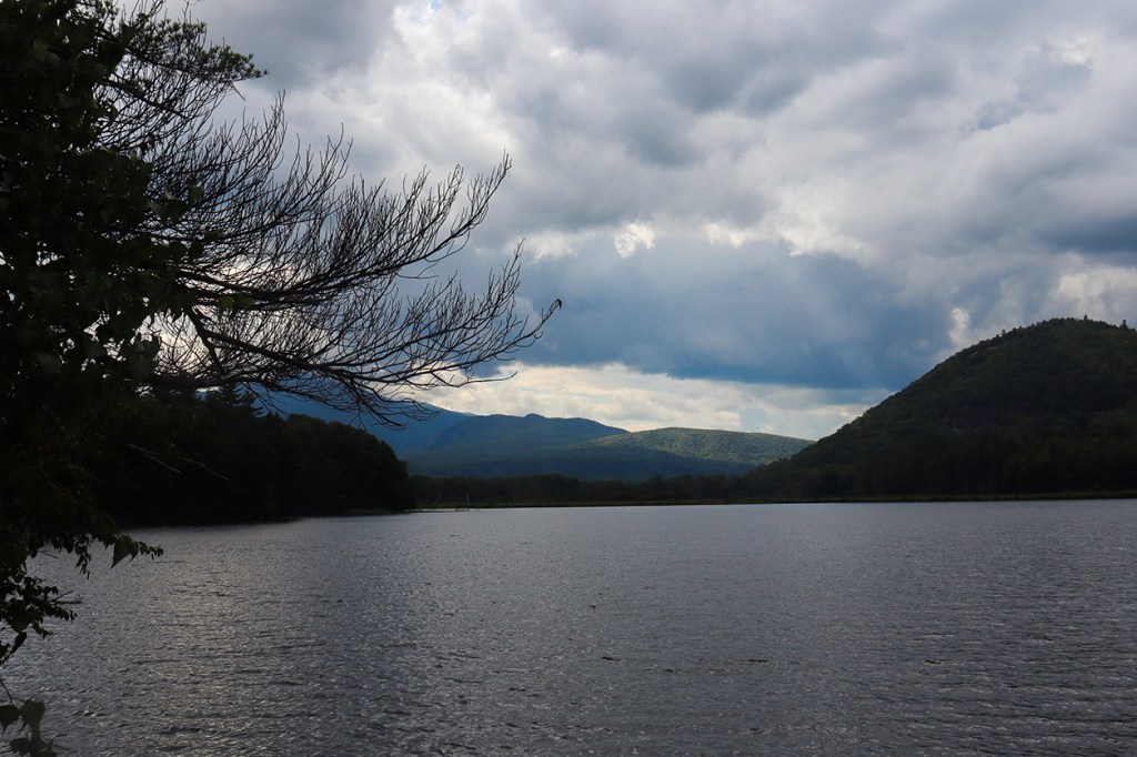
A little ways down the road, I stopped at the first major scenic spot next to Reflection Pond, a wide section of the Androscoggin facing north. Interestingly, the close shore you can see in the photos isn’t the other side of the pond. Instead, it’s an active railway built right through the water!
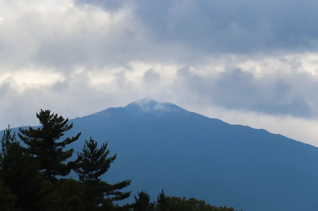
And of course, there’s an elephant in the room here. If it wasn’t clear yet that this drive is going to have a lot of mountain views, this stop will surely serve as solid notice of that.
Gorham
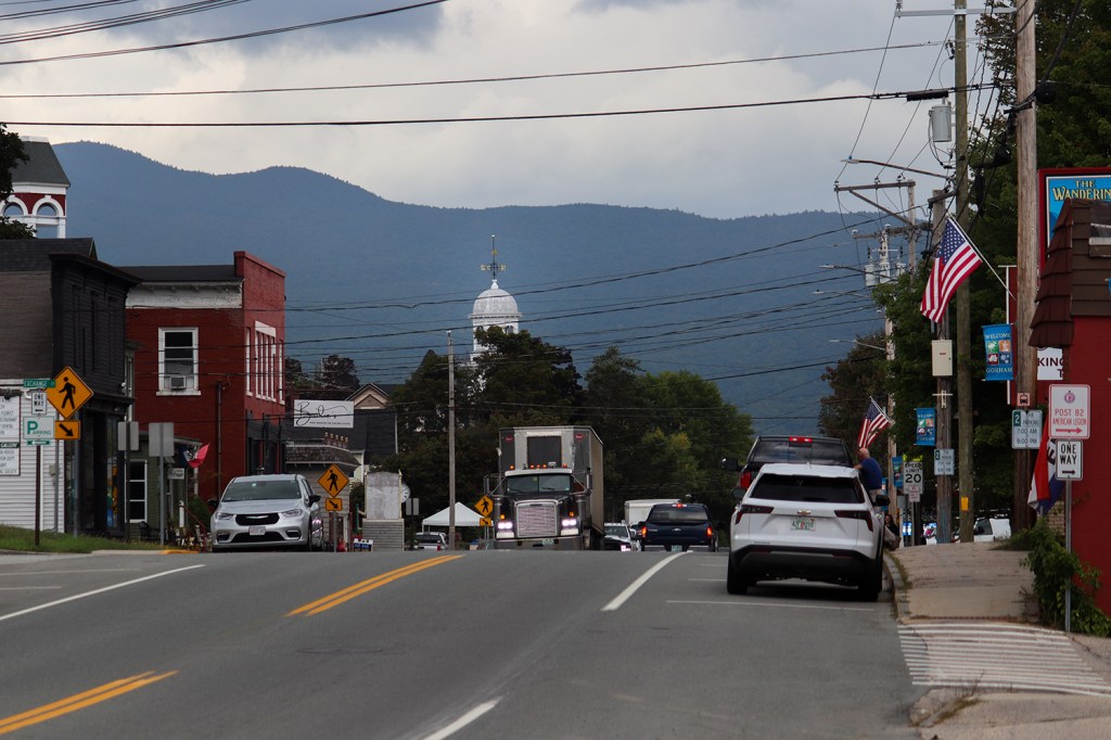
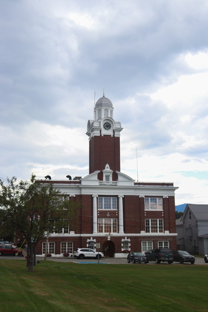
Last time we visited Gorham on our journey down NH 16, we focused largely on its beautiful riverside views on the northern shore of downtown. This time, I wanted to give a little more focus to the town itself, and take a look at something very cool right next to the central common.
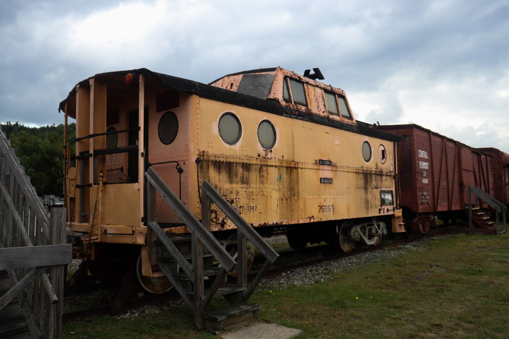
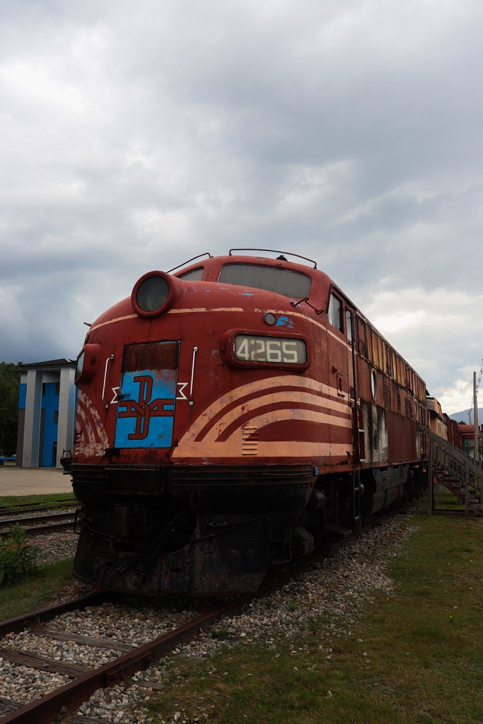
Right away after parking the car, I wanted to take a look at the Gorham Historical Society. I took note of this museum last time I was here, as it’s housed in an incredibly well-preserved 19th-century railroad station from the heyday of rail transportation. The inside is filled with artifacts from the time, including the original ticket cabinet and railway tools, and plenty of reading material from back when Gorham was a regional hub for national freight. And of course, there’s a line of original Boston & Maine and Central Vermont train carriages outside, including two locomotives!
Unfortunately the model railroad housed in one of the boxcars was closed on the day I stopped by, meaning someday I’ll have to find another excuse to visit Gorham and check it out!
Randolph
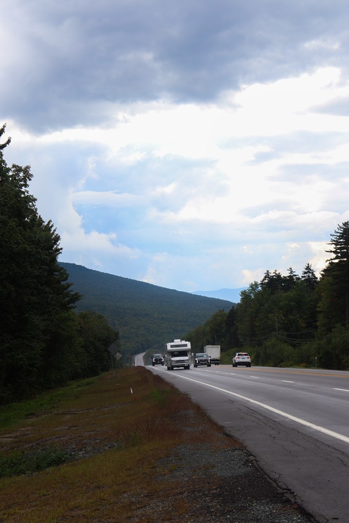
After Gorham, it’s pretty rural driving until we reach the end of the road in Lancaster. That being said, there was a pretty significant amount of tourist traffic going in both directions given it was still summertime in the White Mountains.
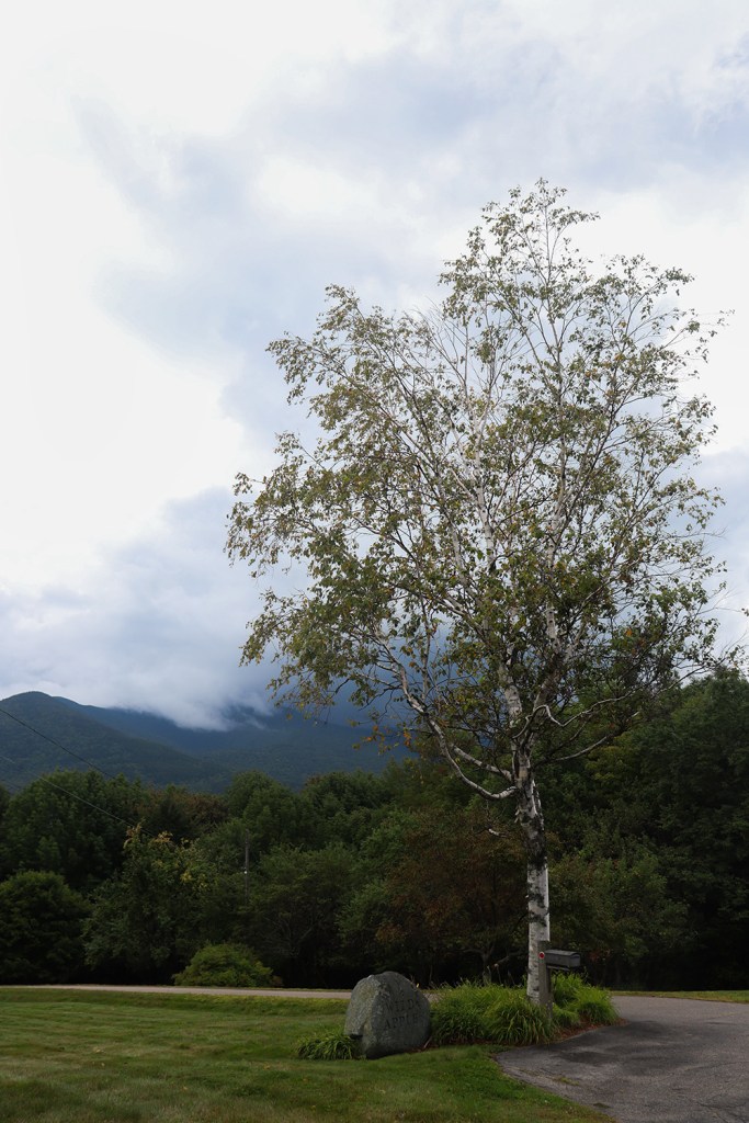
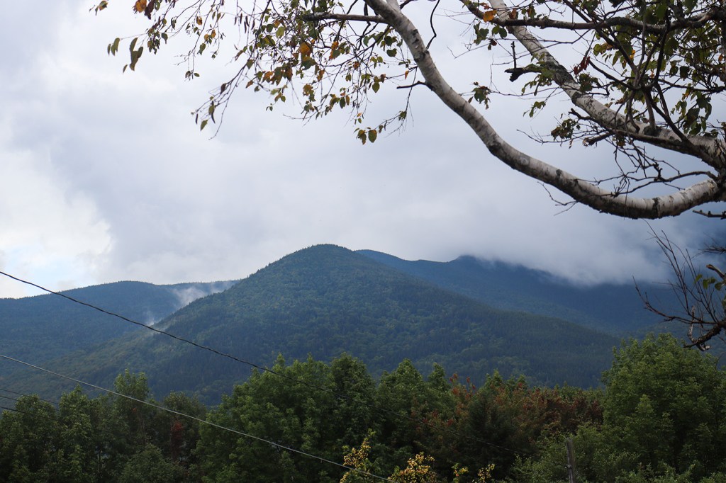
I stopped at a pulloff across from Randolph’s Grand View Lodge, and looked south to a very dramatic view of the northernmost mountain in New Hampshire’s Presidential Range: Mount Adams. The clouds had obscured them a little this time, but from here it’s also possible to see the peaks of Mount Jefferson and Mount Washington on a clear day.
Jefferson
I stopped in a couple places in Jefferson, one of which was planned and one of which was a complete surprise. Let’s begin with the latter, because I needed to grab some water.
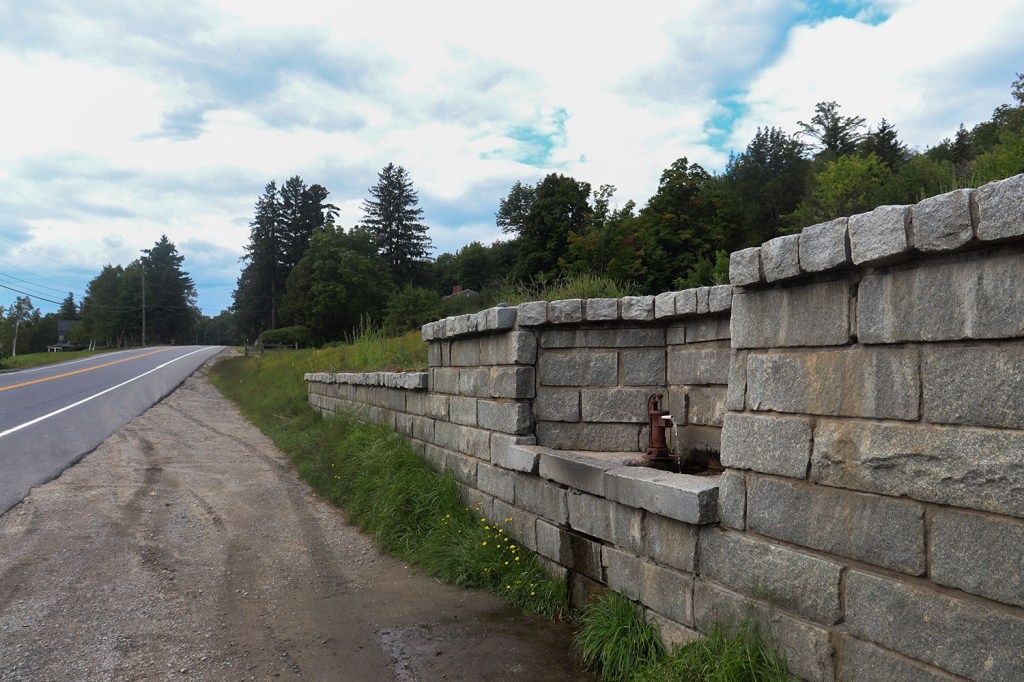
I had just been thinking to myself upon leaving Gorham that my water bottle was getting pretty low, and I was beginning to plot out where the nearest convenience store was to get a refill. Then, I turned around a bend and saw an old well spout built into a stone wall right next to the road. There’s not a lot of public water fountains in rural New England, so it was a huge surprise to find out that this was completely public-use fresh spring water! According to the owners of the property, this spring has been publicly accessible for well over 100 years, dating back to at least 1909. And the best part? The water was ice cold.
The pulloff near the spring also doubled as a beautiful viewpoint to the southwest, featuring a pretty dramatic angle of Owl’s Head peak in the neighboring town of Carroll.
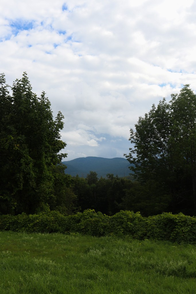
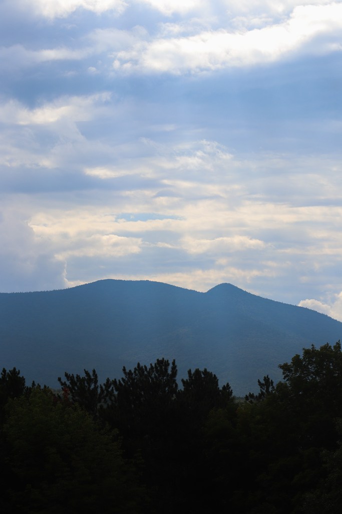
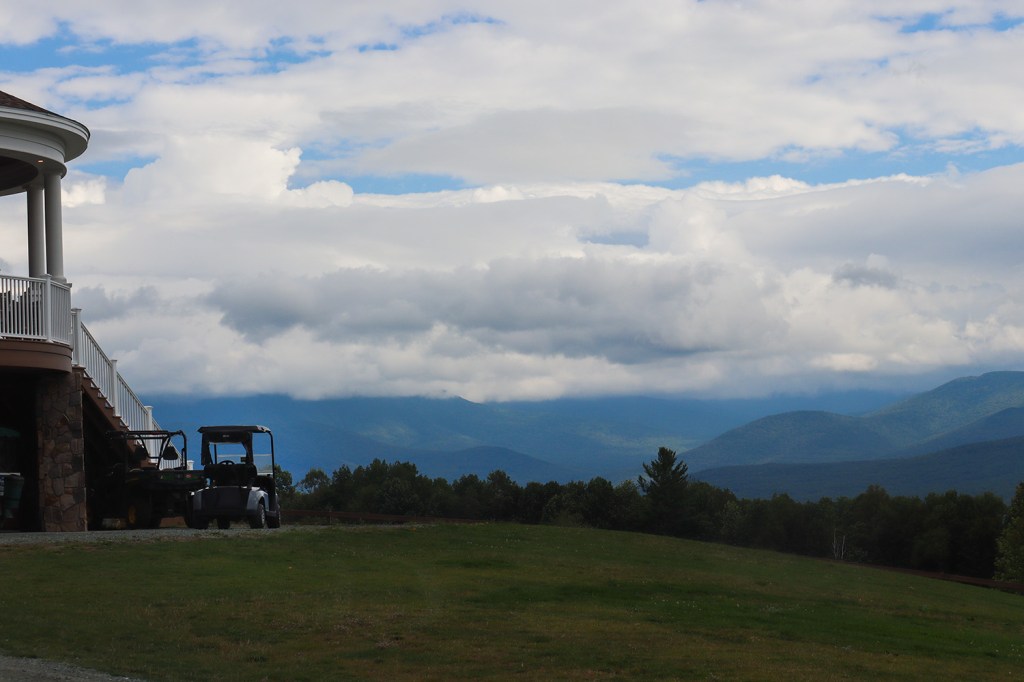
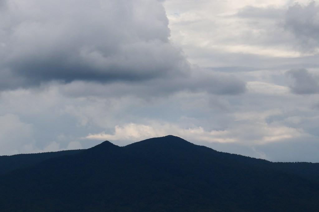
In Jefferson proper, I stopped in the parking lot of the Waumbeck Golf Course. I’d actually found this location a couple years back on a Father’s Day trip with my dad, so I was very excited to come back and get another 20-mile view of the Presidential Range.
Rogers Overlook
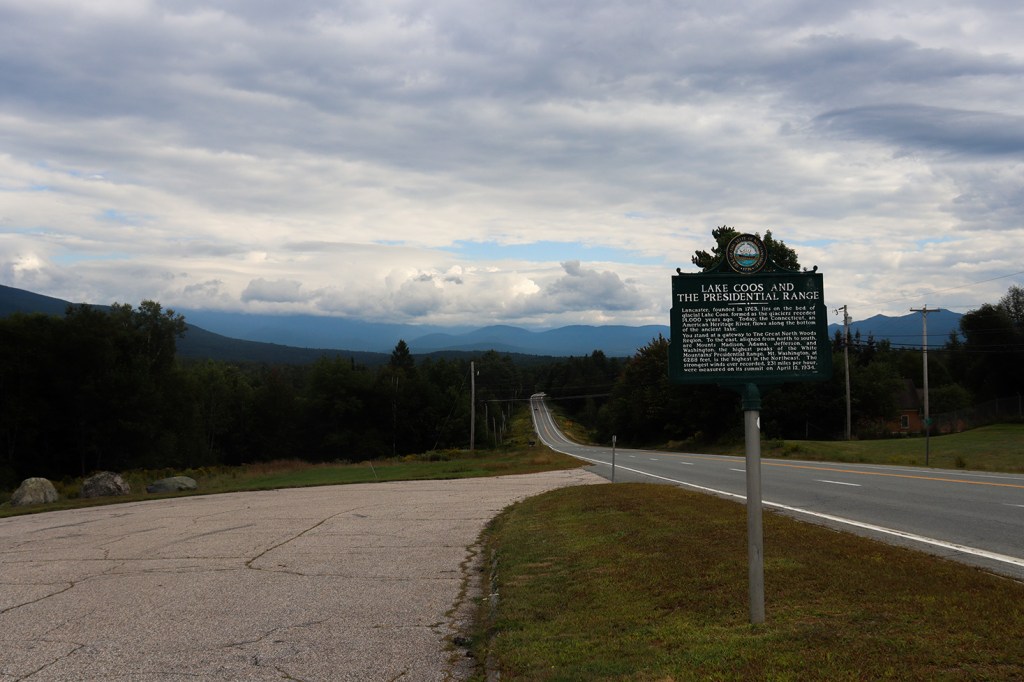
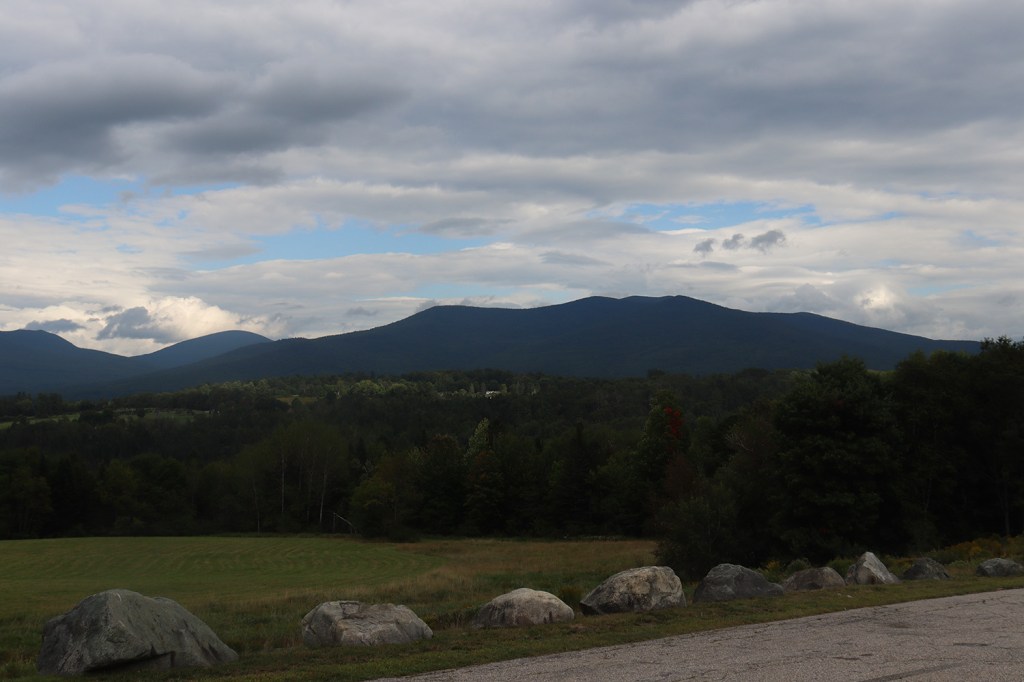
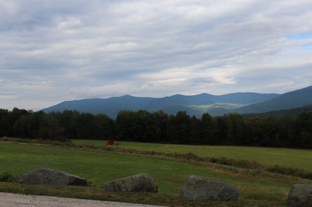
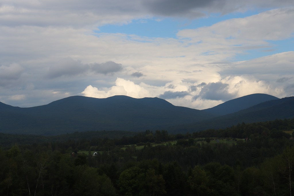
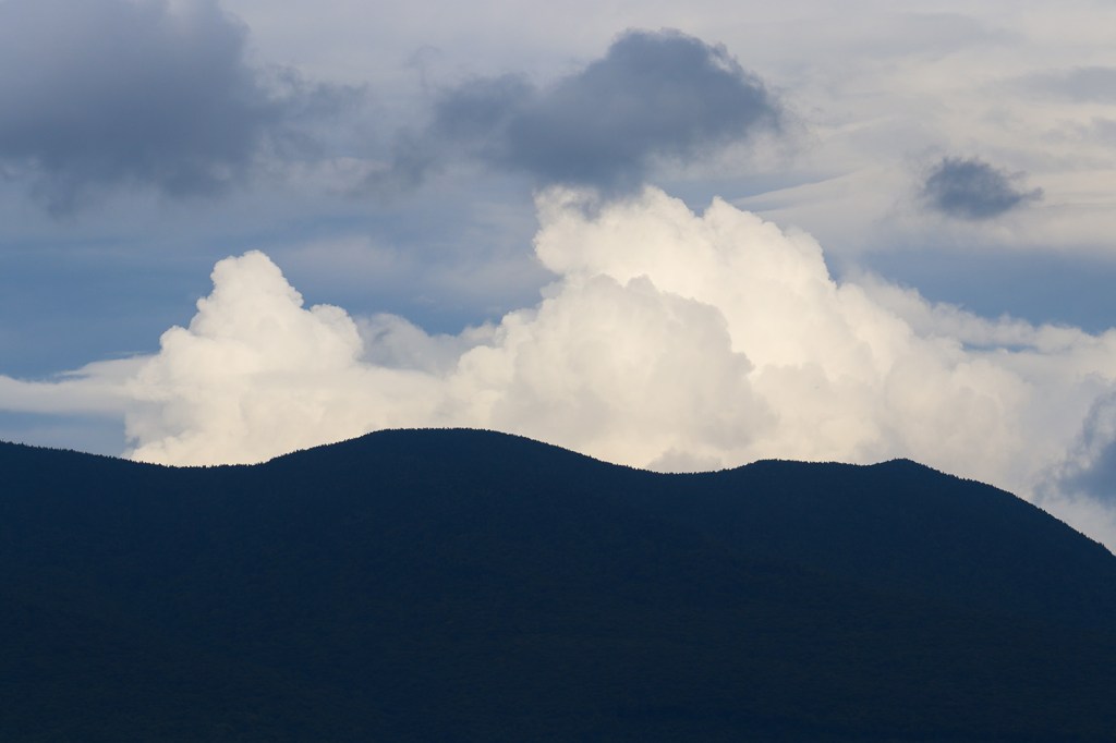
Perhaps my biggest surprise of the trip happened right after I crossed into our final town of the road, Lancaster. By this point I was basically out of the White Mountains, but yet again a random uphill pulloff caught my attention. From my perspective in the car, there wasn’t a ton to see, but when I got out and looked back, I found one of my favorite views in New Hampshire.
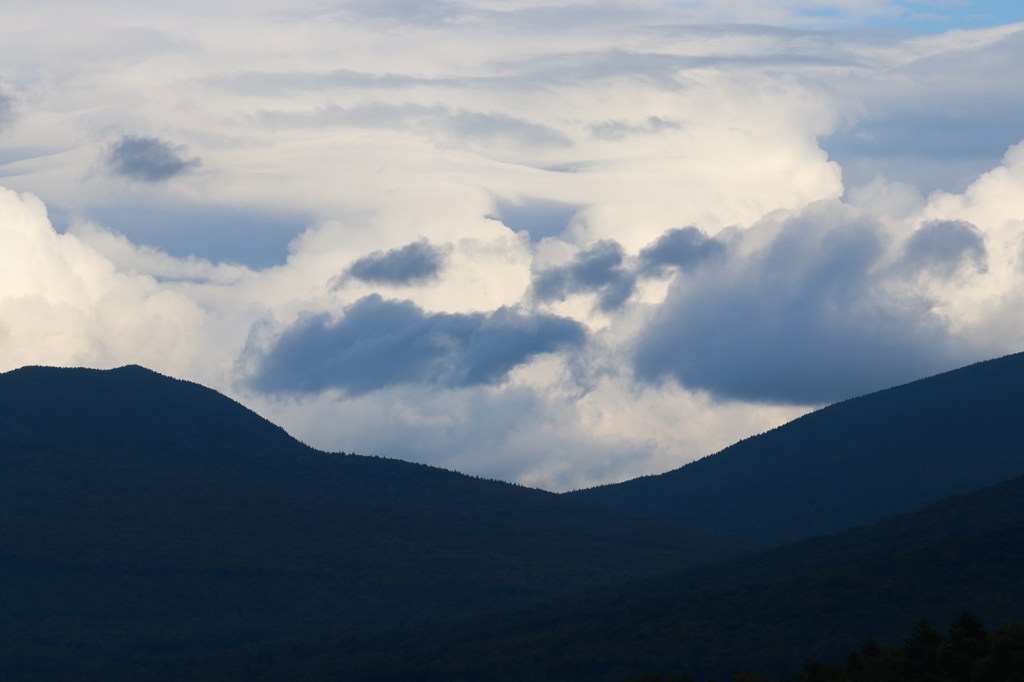
Contrary to what the nearby historical plaque has to say, Rogers Overlook doesn’t look back at the Presidential Range. Instead, it faces northeast to another collection of mountains that are a lot lesser-known in the township of Kilkenny. Kilkenny is unique in that there are literally zero roads that lead into it, only being accessible via a couple of hiking trails. Throughout this entire trip, most of Route 2’s scenic viewpoints have completely neglected the township’s two peaks on Mount Cabot and Mount Waumbek, but this pulloff finally lets us take a look at them.
The cloud cover here especially made the moment for me. The sun was hitting a group of clouds just right behind Mount Cabot, and as a photographer, that felt like an incredible opportunity. Going into this trip, I never thought my favorite mountain picture I took would be from such a forgotten part of the national forest. But that’s One Road for you!
Lancaster
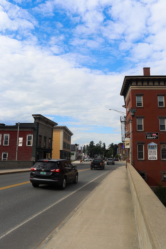
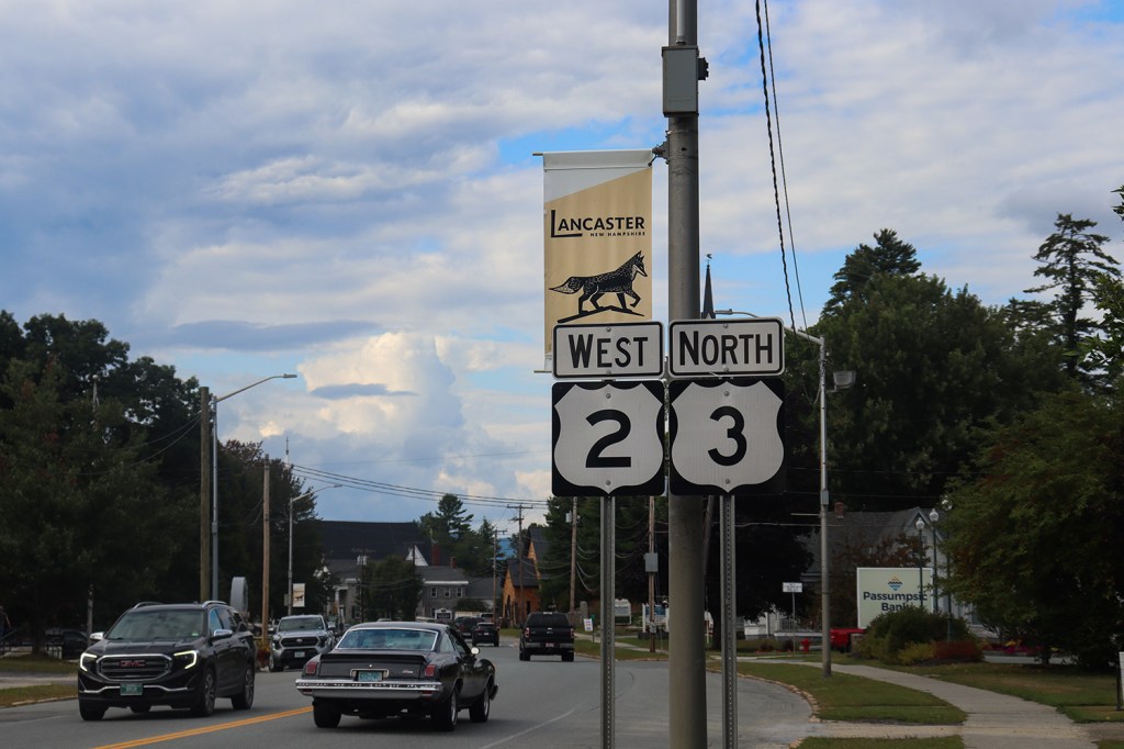
Before we reach the Vermont border, there’s one more town to travel through and one more bit of interesting geography! At the very beginning of the road back in Houlton, ME, Route 2 ran alongside Route 1 for just over a third of a mile. Here, it meets up with the next US Route in line, Route 3, for about double that length.
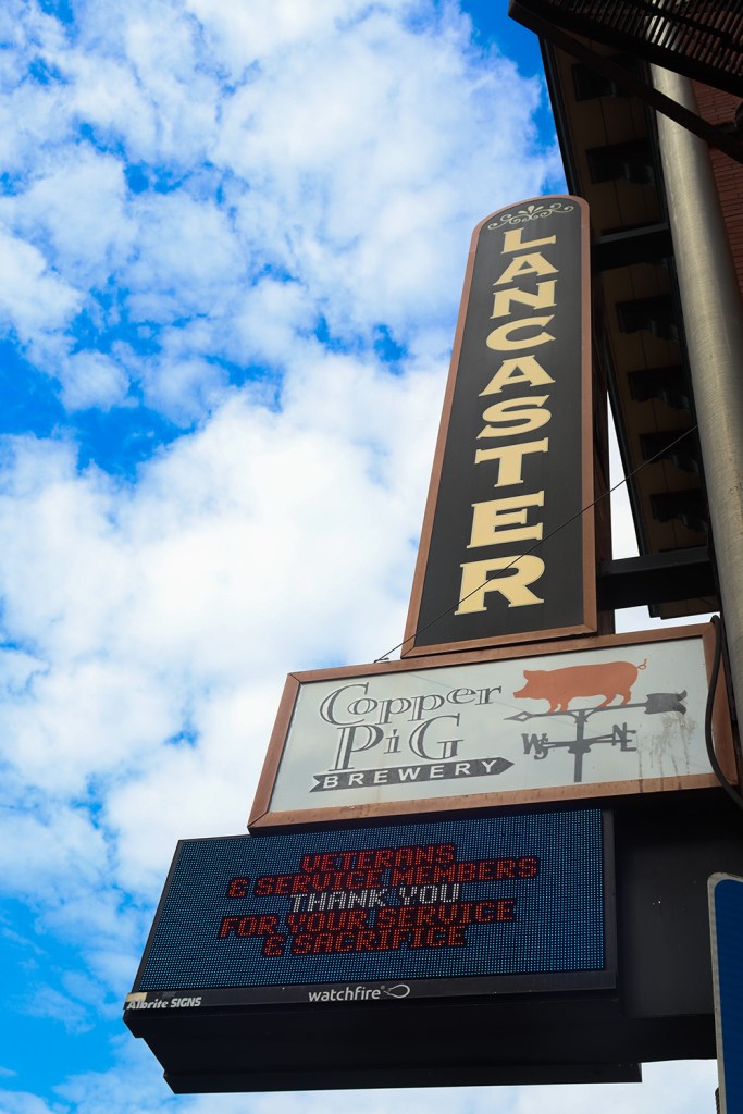
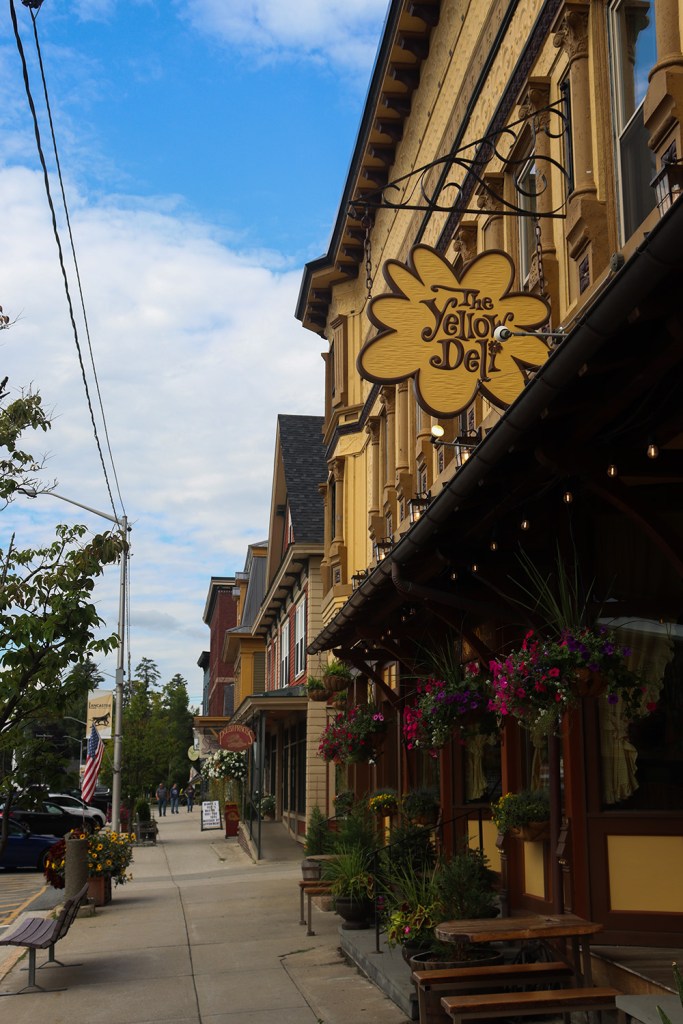
Lancaster’s downtown is a complete change from what we’ve seen over the rest of the trip, with a beautiful classic downtown strip of shops, restaurants, and a theater. It was pretty busy on the day I came through on account of the local Lancaster Fair. Unfortunately, the fairgrounds were outside of my 1/2-mile range I like to stick to for One Road, but that left plenty of time to walk around Main Street and check out what the town’s year-round amenities had to offer.
Connecticut River
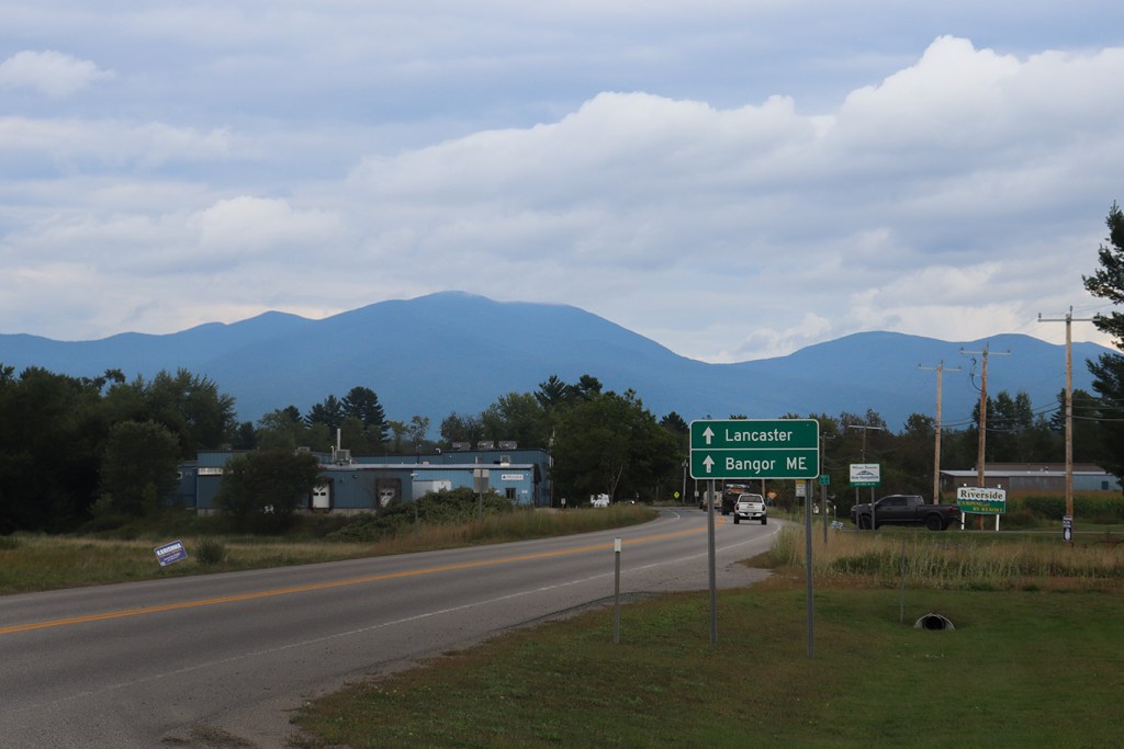
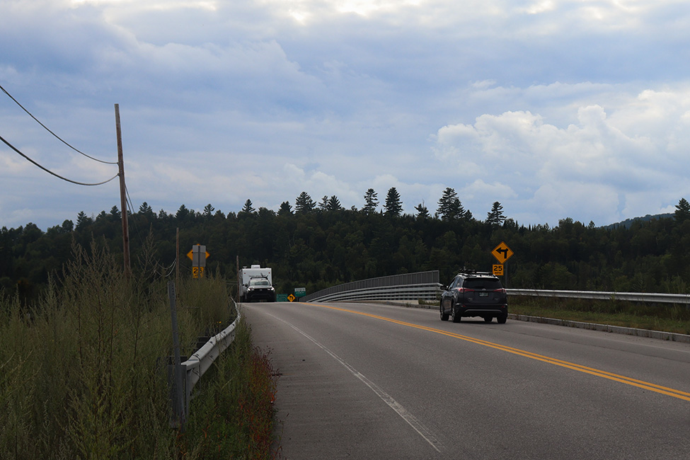
Just north of downtown Lancaster, Route 2 takes a left away from 3 and crosses the Connecticut River into Vermont. This is where we’ll end the trip for now though, as we take a look back east towards the mountains of New Hampshire one last time.
In addition, this might also mark the farthest mention of Bangor on a highway sign (at least that I’ve found so far). It’s a whopping 173 miles there from here!
Here on One Road, we’ve seen US-2 in Maine during the peak foliage of autumn, and US-2 in New Hampshire during the bright greenery of summer. Now I hope to drive US-2 in Vermont this winter, and finally finish off our review of the entire road. I hope to see you back here when that happens!
In our next post, we’ll head back across Route 2 into Downeast Maine and take a loop around one of my favorite seaside peninsulas.
Written and Photographed by Rin Gately. Edited by Keith Libby.


Leave a Reply